People
About the team
Our Team
The team comprises two cross-disciplinary groups of oceanographers, climatologists, and mathematicians with expertise in observing, measuring, and projecting the physical properties of the oceans and coasts. Team members are highly regarded internationally and have contributed to several key IPCC reports and produced numerous scientific journal papers and reports.
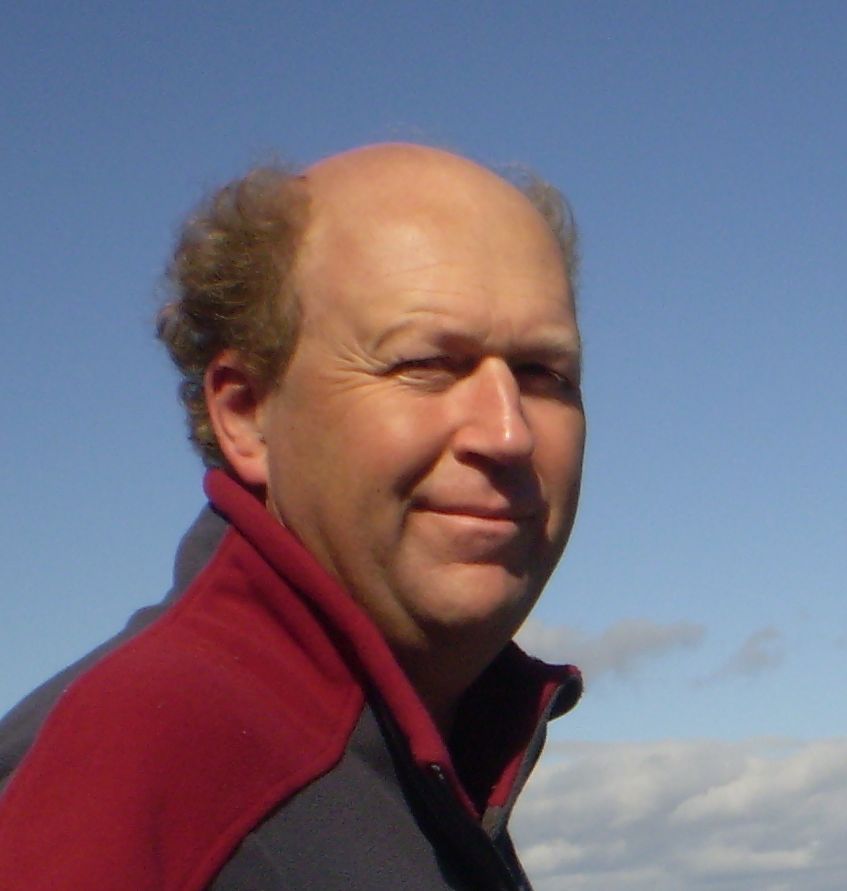
Edward King
Edward King
After joining CSIRO in 1995 as an astronomer with the Australia Telescope based at Tidbinbilla in the ACT, Edward took up a position with the CSIRO Earth Observation Centre working on satellite Earth Observation (EO) in 1997. Since then he has been involved in the acquisition, management and delivery of applications from national EO time series through a number of major projects such as the Water Information R&D Alliance (WIRADA) and eReefs. He is the custodian of the merged national NOAA/AVHRR sensor data collection. Edward also contributes to national collaborative activities relating to the supply of EO data, including the Copernicus Australia Regional Data Hub, the Australian National Ground Segment Technical Team (ANGSTT) and, previously, the Board of the West Australian Satellite Technology Consortium (WASTAC). He is currently the leader of the Satellite Remote Sensing Facility of the Integrated Marine Observing System and the Bluelink ocean forecasting for Defence activity. Edward has held a number of internal roles within CSIRO and is currently Research Group Leader for the High Resolution Climate Ocean and Extremes teams. More detail at: https://people.csiro.au/Edward-King
Claire Trenham
Claire Trenham is a Senior Experimental Scientist leading the Coastal Extremes Modelling & Projections (CEMP) team within CSIRO’s Climate Science Centre, and is a digital and data lead for the Climate Intelligence programme. Claire Trenham joined CSIRO Marine & Atmospheric Research in 2011 working with Dr Mark Hemer on wave climate modelling in the COWCLIP, PACCSAP and ACCSP projects. After a period working as a Research Data Services Specialist for the National Computational Infrastructure (NCI) in Canberra between 2014-2017, Claire returned to CSIRO’s Oceans and Atmosphere in 2017 working with the Sea level, Waves and Coastal Extremes team alongside the regional climate (CCAM) team. Claire is works on coastal extremes modelling, littoral and wave modelling, regional climate projections, data management and publishing, and other climate data work in the CEMP team. More detail at: https://people.csiro.au/Claire-Trenham.
Salman Saeed Khan
Dr Salman Saeed Khan leads the Sea-Level, Waves and Remote Sensing (SLWRS) team. Salman joined CSIRO as a Research Scientist in February 2018. His current research focuses on using satellite SAR remote sensing to extract surface ocean wave spectrum and subsequently retrieving ocean wave parameters and the ingestion of these data into other research areas. Prior to joining CSIRO, he worked as an Earth Observations Applications and Services engineer for Starlab in Barcelona, Spain and as a postdoctoral researcher at Universities of Exeter and Surrey, UK where he worked on a variety of remote sensing techniques including SAR, UAV-LiDAR, and multispectral. His PhD was focused on developing new/more efficient statistical models for multivariate polarimetric SAR data. More detail at: http://people.csiro.au/Salmansaeed-Khan
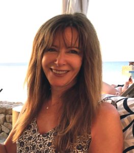
Kathleen L. McInnes
Kathleen McInnes joined CSIRO in 1990 and is a senior researcher and former leader of the Climate Extremes and Projections group in the CSIRO Climate Science Centre of the Oceans and Atmosphere business unit. Her research focuses on understanding how climate change will affect severe weather events and coastal extreme sea levels through numerical modelling and climate model analysis. She has developed climate projections for impact and adaptation assessments to assist local government manage and adapt to climate change. Her contribution to this work was awarded Eureka awards in 2003 and 2009. She has published over 50 refereed publications and over 60 other reports and articles. She was a contributing author on the IPCC Second, Third and Fourth Assessment Reports and a lead author on the IPCC Special Report on Extremes and the IPCC Working Group 2 Fifth Assessment Report on Coastal Systems and Low-Lying Areas. She was part of the CSIRO team developing a wave energy atlas for Australian Renewable Energy Australia (ARENA) and is presently a lead author on the IPCC Special Report on Oceans and Cryosphere and is a member of the WCRP Grand Challenge for Sea Level. More detail at: http://people.csiro.au/Kathleen-McInnes
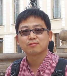
Xuebin Zhang
Xuebin Zhang is a Principal Research Scientist in the Climate Intelligence program. Xuebin joined CSIRO as a Research Scientist in 2010. He contributed to the Pacific Climate Change Science Program (PCCSP) and follow-up Pacific-Australia Climate Change Science and Adaptation Planning (PACCSAP) Program, by studying regional sea level change and projection for Island countries in the western tropical Pacific. Both PCCSP and PACCSAP programs were funded by the Australian Government’s International Climate Change Adaptation Initiative. His research interests include ocean and climate change, sea-level rise, climate variability, ocean dynamics and numerical modelling, with particular interest in regional sea level change and variability, and associated underlying physical mechanisms. He led the CSIRO Ocean Downscaling Strategic Project to provide high-resolution (1/10 °) future climate change signals in the ocean simulated by CMIP5 climate models with a near-global eddy-resolving ocean general circulation model. Before joining CSIRO, he studied and worked at University of Washington, NOAA/Pacific Marine Environmental Laboratory (Seattle, Washington) and Scripps Institution of Oceanography (San Diego, California), mainly focusing on ENSO and tropical ocean dynamics by applying both in-situ data analysis and numerical modelling. More detail at: https://people.csiro.au/Xuebin-Zhang.
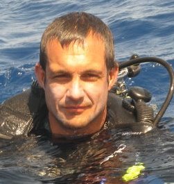
Ron K. Hoeke
Ron Hoeke is a Principal Research Scientist in the Coastal Extremes Modelling & Projections (CEMP) team within CSIRO’s Oceans and Atmosphere Climate Science Centre. Ron joined CSIRO in October 2010. His research interests include the interaction of physics, geomorphology and ecology in the littoral zone, and how these factors will impact humans in a changing climate. Prior to joining CSIRO, Ron studied coastal barrier island change as part of a U.S. Army Corps of Engineers project and helped establish an inter-disciplinary NOAA/University of Hawaii coral reef monitoring program for Pacific Islands. He completed a PhD at James Cook University in 2010, focused on better understanding circulation, water quality and sedimentation of coral reefs, through a NOAA, US Geological Survey and Australian Institute of Marine Science (AIMS) partnership. His current research focuses on coastal hazards, marine renewable energy and forecasting littoral dynamics. More detail at: http://people.csiro.au/Ron-Hoeke.
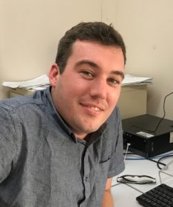
Julian O’Grady
Julian O’Grady joined CSIRO Marine and Atmospheric Research in mid 2006, and since then he has been supporting research into extreme sea levels. His work involves wave modelling, littoral transport modelling, and extreme value analysis to estimate the impact storms have had on coastlines in Australia and the Pacific, and how they will change into the future. Julian is also involved with the team’s wave renewable energy project, analysing Australia’s wave resource and understanding the physical impacts of farm arrays. See also: https://people.csiro.au/julian-ogrady
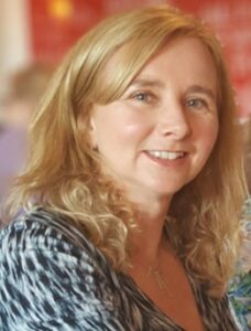
Vanessa Hernaman
Vanessa Hernaman joined CSIRO’s Oceans and Atmosphere in 2017. Her research interests include using ocean observations and modelling to better understand variability and change in coastal and ocean processes (physical, biological, and chemical) and address questions around coastal risk assessment and management, ecosystem-based management for estuaries and reefs, and ocean renewable energy. Before joining CSIRO, Vanessa was a Senior Scientist at the UK Met Office, working in the Ocean Forecasting team responsible for the maintenance and development of the Operational Sea Surface Temperature and Ice Analysis system (OSTIA). She also contributed to the European Union Horizon 2020 project AtlantOS, aimed at achieving a sustainable, efficient, and fit-for-purpose Integrated Atlantic Ocean Observing System (IAOOS). More detail at: http://people.csiro.au/Vanessa-Hernaman.
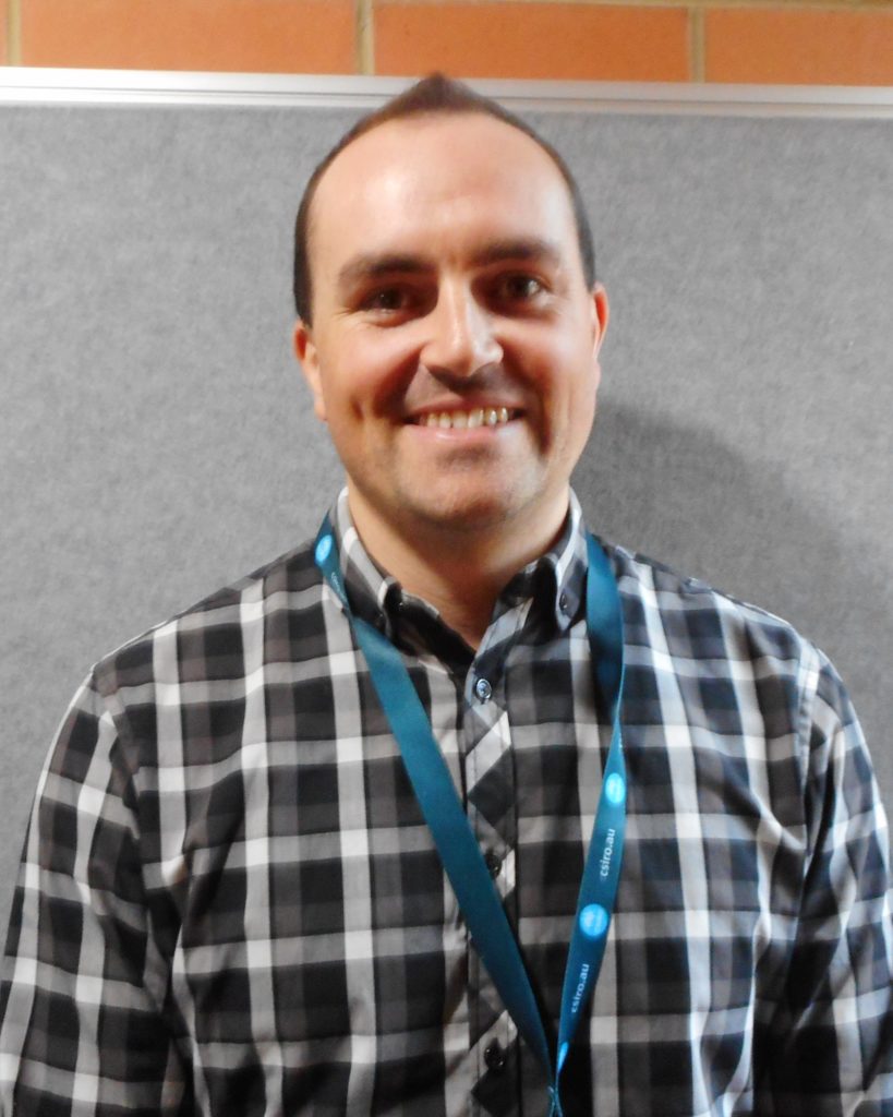
Blake Seers
Blake Seers joined CSIRO’s Oceans and Atmosphere in 2019, working within the Sea level, Waves and Coastal Extremes team. Before joining CSIRO, Blake was a statistical consultant within the Department of Statistics at the University of Auckland, after completing his PhD in Marine Science and Statistics. Blake works across the various projects within the team where he contributes to the scientific programming, statistical analyses and high-performance computing requirements for research and industry purposes. See also https://people.csiro.au/Blake-Seers
Tracey Pitman
Tracey is a project manager, assisting with a portfolio of multi-agency projects. She oils the wheels, and assists with project delivery by – facilitating communications to help projects keep on track, and – helping develop creative solutions to any issues arising. Tracey works in teams that provide ocean dynamics and wave resource information. This information helps ensure well-informed decision-making on operations, policy and development of Australian ocean-based activities (such as naval operations). This is Tracey’s second stint at CSIRO after working in the algal culture collection early in her career. She has 10 years prior experience as a research scientist at state and local government level. In the past she held positions as a laboratory manager (water quality), a policy research assistant (marine, and mine water quality), and as a workshop facilitator. More detail at https://people.csiro.au/Tracey-Pitman
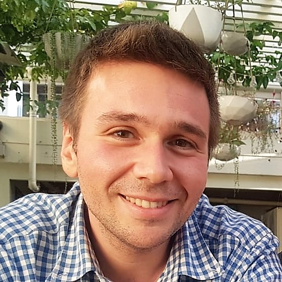
Cagil Kirezci
Cagil is a civil engineer by background who obtained his MSc (Middle East Technical University) and PhD degree (The University of Melbourne) in Ocean Engineering. His MSc studies focused on the performance evaluation of deepwater source term physics in phase-averaged wave models and his PhD project focused on the investigation of the extreme wave indicators in wind seas. He has extensive experience with both phase-resolving and phase-averaged numerical wave modelling. He worked as a research fellow in Ocean Engineering at the University of Melbourne for his post-doctoral studies. His post-doctoral research focused on the investigation of wave-induced turbulent dispersion, which is important for ocean search and rescue operations, and identifying the possible trajectories of transportation of large bodies. His research mostly focuses on nonlinear wave modelling and broader research interest includes wind-wave modelling, wave-turbulence modelling, rogue waves, extreme conditions, and climate change. Cagil will initially be working on Bluelink-related coastal numerical model development in collaboration with the Coasts & Ocean Research programme.
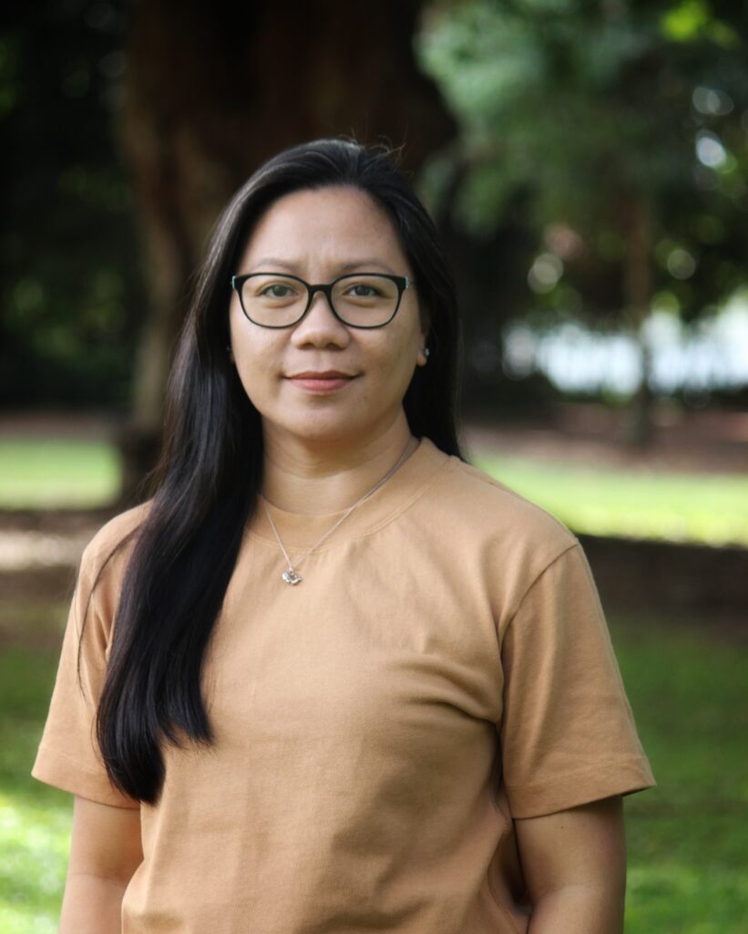
Marites Canto
Marites is a researcher with broad experience in oceanography, data processing, and analysis. She has a MSc in Marine Science (Physical Science) from the University of the Philippines and The Marine Science Institute. She worked as a Satellite Oceanographer at the University of Queensland before pursuing her PhD in Optical Oceanography and Remote Sensing from James Cook University (JCU) and the Australian Institute of Marine Science (AIMS). Tess is passionate about using satellite remote sensing to understand the optical and physical processes in the coastal ocean and their application in understanding and monitoring the marine environment. Her PhD focused on the algorithm development of benthic irradiance (e.g., the amount of light reaching the seafloor or the bottom of the water column) in the GBR using MODIS ocean colour data and developing a benthic light index of water quality as a monitoring and management tool. Currently in her role as a Satellite Oceanographer at CSIRO, she is keen to expand her knowledge and interests in using other remotely sensed datasets to answer questions related to our dynamic marine environment. She aims to continue applying geospatial analysis and techniques to generate high-quality long-term data streams of satellite observations to support various oceanographic research, especially in Australian waters.

Tim Leeson
Tim Leeson joined CSIRO in early 2023 with an ocean analyst and project facilitator role. He has a background in coastal engineering and publishing; with his undergraduate degree with Griffith University and a Mastère Spécialisé in Design By Data through École des Ponts ParisTech. Most recently he has been involved with Gippslandia, a newspaper that he co-founded and, before that, he was a coastal analyst and modeller role in a ports and marine terminals team based in Cape Town. Tim is currently focused on assisting the Coastal Extremes Modelling and Projections team with their Bluelink project delivery.
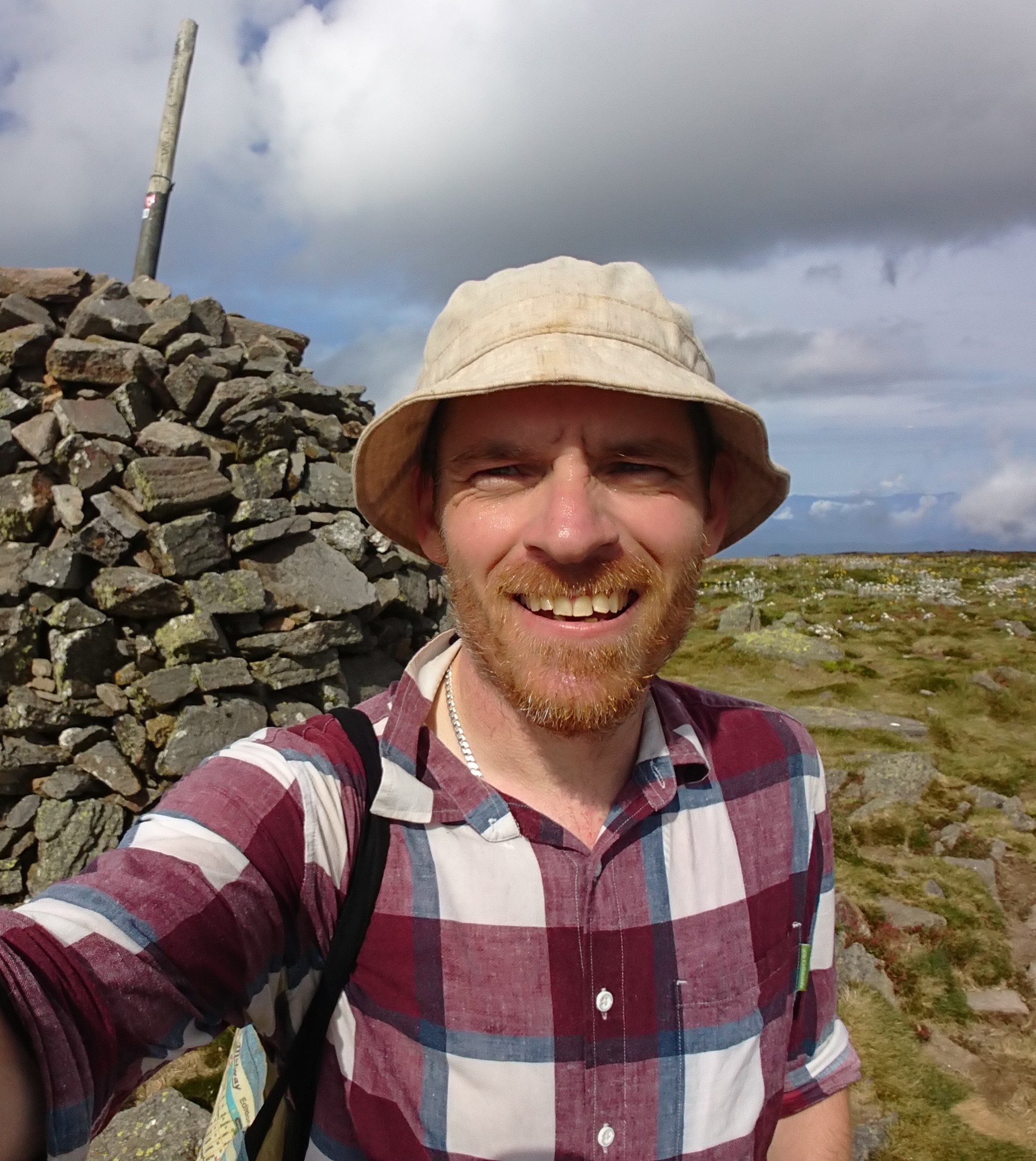
Bryan Hally
Bryan Hally joined CSIRO’s Coastal Extremes Modelling and Projections team in October 2023 as a Geospatial Analyst. Originally a surveyor, Bryan undertook a PhD at RMIT University in Melbourne and at the Faculty of Geo-Information Science and Earth Observation (ITC) in Enschede, the Netherlands, completed in 2019. Bryan’s PhD covered the development of techniques for estimation of the background temperature of thermal anomalies in geostationary satellite imagery, in conjunction with a Bushfire and Natural Hazards CRC research project. Since completion, Bryan worked on a number of projects at RMIT University, including development of fieldwork and processing techniques for the capture of surface structure in forest environs, capture and fusion of multiscale airborne and terrestrial LiDAR to provide improvements in the measurement of canopy structure in forests, and development of semi-automated processes for the capture, scaling and segmentation of Structure from Motion point clouds built from point-and-shoot camera images. Bryan was also involved in a collaboration with CSIRO’s Argo Float group, through the University of Tasmania and the Australian Hydrographic Office, investigating the validation and infill of common open ocean bathymetric datasets using grounded Argo floats. In the CEMP team Bryan’s expertise contributes to aligning vertical datums across datasets (ACS) and visualisation of unstructured grid model data (Pacific). See also: https://people.csiro.au/Bryan-Hally
Yucheng Lin
Yucheng Lin is a research scientist at CSIRO, specializing in sea-level and climate change. He earned his Ph.D. from Durham University (UK) and completed postdoctoral training at Rutgers University-New Brunswick (US). Yucheng’s work focuses on using numerical and statistical modelling to uncover mechanisms driving sea-level change, spanning both geological history and future projections. His research explores the interactions among Earth systems that influence the trend and variability of sea level change, such as ice sheet dynamics, solid Earth deformation, and coastal processes. He led the development of the first deep-learning-based emulator for glacial isostatic adjustment processes and pioneered PaleoSTeHM, a modern, scalable spatiotemporal hierarchical modeling framework. His ongoing efforts focus on advancing projections of global and regional sea-level changes and rigorously quantifying associated uncertainties to inform adaptation strategies.
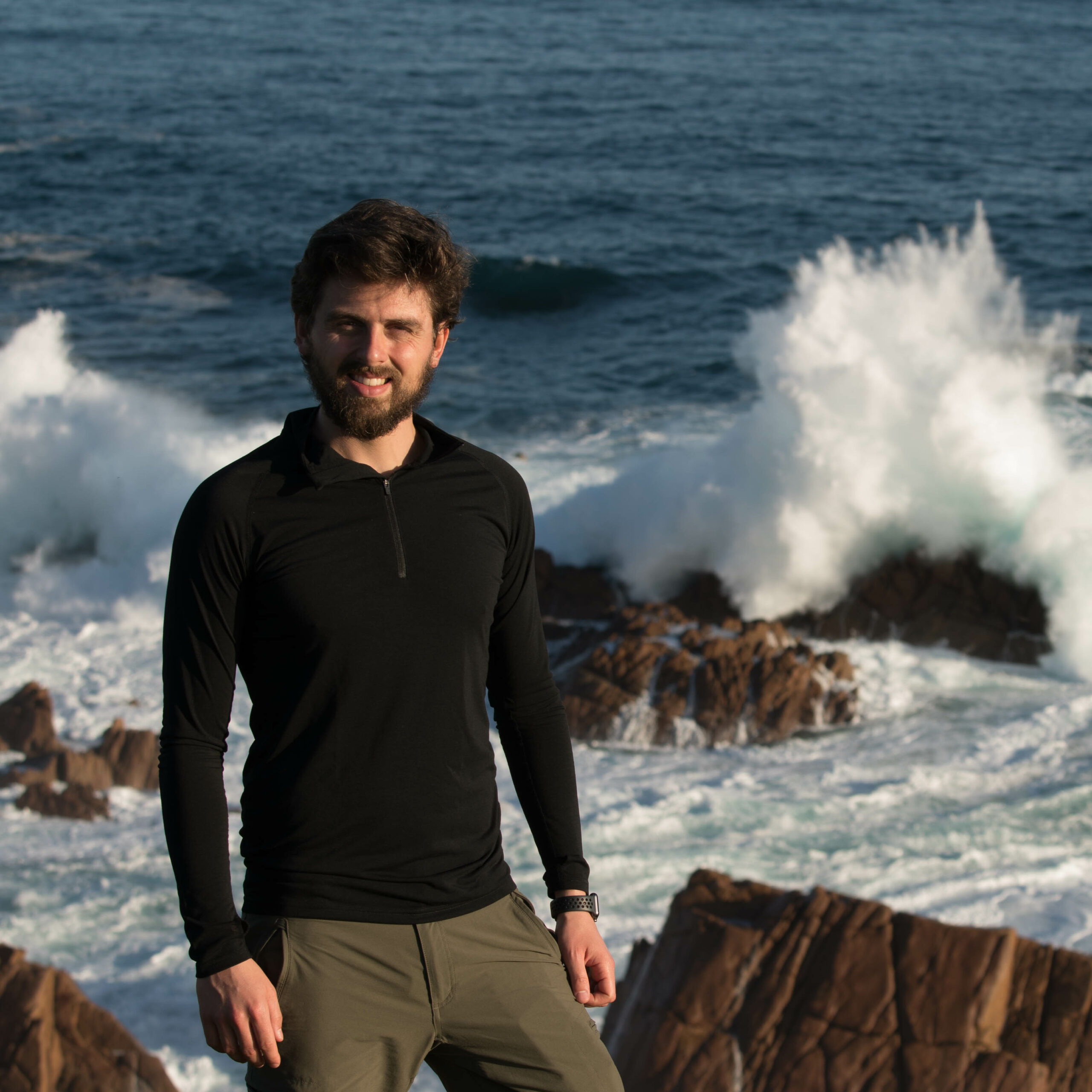
Alberto Meucci
Dr. Alberto Meucci is a Senior Post-Doctoral Research Fellow in Ocean Wave Climate Modelling at The University of Melbourne, where he specializes in global wave modeling and statistical analysis of extreme sea states. He graduated with a degree in Civil Engineering from the University of Florence in Italy and completed a joint European study program in Hydraulic Civil Engineering at the IHE-Water Institute in Delft, The Netherlands. After completing his studies, Dr. Meucci moved to Melbourne, Australia, where he earned his PhD from The University of Melbourne. His doctoral research focused on global wind-wave extremes in a changing climate. Currently, he is working as an Adjunct Research Scientist at CSIRO to translate global ocean wind-wave climate future projections into regional wave climate modeling. Dr. Meucci’s research interests include examining the impacts of climate change on wind-wave extremes and evaluating the performance of wave models in simulating Tropical and Extra-Tropical storms sea states and their effects on Australian coastlines.
Emilio Echevarria
Emilio is a Physical Oceanographer from Argentina with expertise in ocean numerical models and a keen interest in coastal oceanography and nearshore hydrodynamics. He completed his PhD at the University of Tasmania in 2021. His PhD research project was focused on investigating the interactions between wind-waves and ocean surface currents at the global scale, using high-resolution wave simulations complemented with wave measurements from buoys, satellite altimeters and Synthetic Aperture Radar. After this, he worked at MetOcean Solutions for 2.5 years as a WAVEWATCH III modeller, where he was responsible for maintaining the operational global waves forecast, as well as investigating and implementing new features to improve the accuracy and efficiency of the waves forecast framework. Emilio is currently a CSIRO Early Career Research postdoctoral fellow, working on the implementation of hybrid dynamical/machine learning applications for assessing coastal risks and hazards for a range of coastal/climatological regimes.
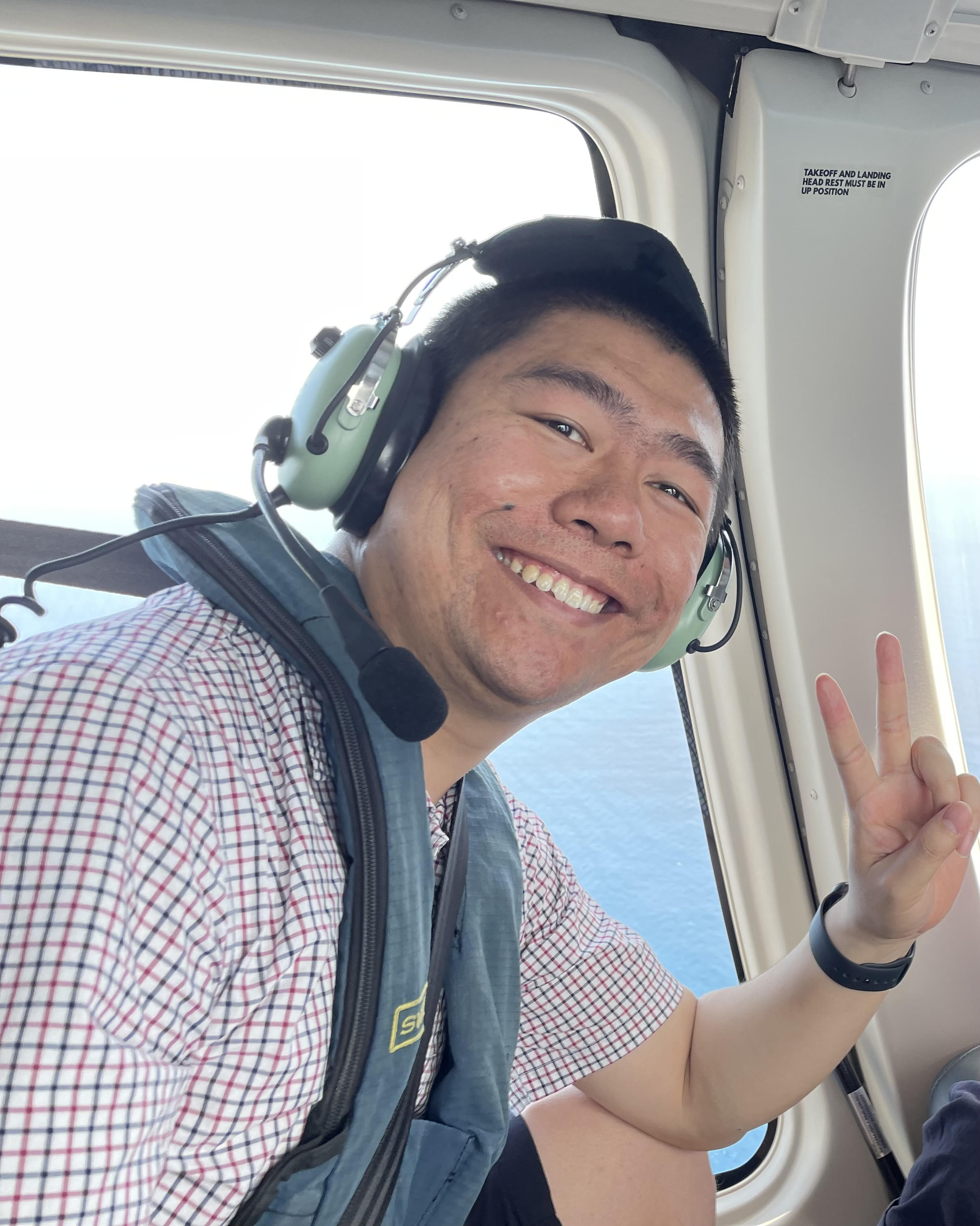
Yi Jin
Dr. Yi Jin is an R+ CERC Fellow at CSIRO Environment BU. He earned his Ph.D. in Oceanography from the Ocean University of China and visited CSIRO sea-level team in Hobart for 2 years during his PhD study under Dr Xuebin Zhang. He had his postdoctoral training with Detlef Stammer’s team at University of Hamburg in Germany. Dr. Jin’s research focuses on sea-level changes and their projection through ocean and climate modelling. During his 3-yr CERC fellowship appointment, he will be applying dynamical downscaling and adjoint modelling techniques to study various aspects of sea-level change and variability around Australia.
Students
Alson Atif
Alson Atif is a PhD student at UWA studying nearshore coastal modelling, co-supervised by Dr Ron Hoeke.
Research Associates
Mark Hemer
Dr Mark Hemer is a Principal Research Scientist and leader of the Regional Climate Intelligence group within CSIRO’s Oceans and Atmosphere Climate Science Centre. His research interests focus on the interaction of waves with other oceanographic drivers in the nearshore and coastal zone. His research on the climatological variability and change of surface ocean waves is regarded internationally. His work has application for coastal hazards, the potential impacts of climate change and the implications for coastal risk management, and ocean renewable energy. More detail at: http://people.csiro.au/Mark-Hemer.
John Church
John Church is a CSIRO Fellow. He has published across a broad range of topics in oceanography. His area of expertise is the role of the ocean in climate, particularly anthropogenic climate change. He is an expert in estimating and understanding global and regional sea-level rise. He is the author of over 130 refereed publications, over 90 other reports and co-edited three books. He was co-convening lead author for the Chapter on Sea Level in the IPCC Third and Fifth Assessment Reports. He was awarded the 2006 Roger Revelle Medal by the Intergovernmental Oceanographic Commission, was a winner of a CSIRO Medal for Research Achievement in 2006, won the 2007 Eureka Prize for Scientific Research and presented the 2008 AMOS R.H. Clarke Lecture. He is a Fellow of the Australian Academy of Science, the Australian Academy of Technological Sciences and Engineering and the American Meteorological Society. More detail at: John Church (UNSW).
Benoit Legressy
Benoit Legresy came to the sea level group at CSIRO Oceans and Atmosphere in July 2014 as a sea level scientist. He is studying global and regional sea level evolution. He focuses on observations, mainly satellite altimetry and tide gauge records. He participates in satellite altimetry calibration/validation on the Australian sites. His previous research involved Glaciology and Oceanography, Geodesy and Remote Sensing.
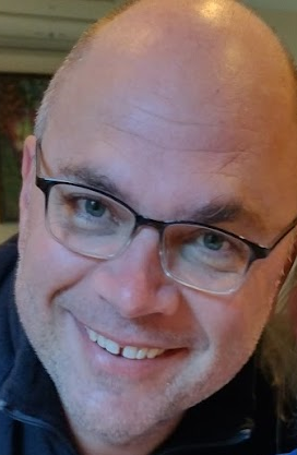
Ben Leighton
Ben is an interdisciplinary data scientist with almost 20 years experience working across the ocean, fire, hydrology, energy, and information sciences at CSIRO. He works across the delivery pipeline from project ideation and client engagement, through development of novel algorithms and science, to impact driven delivery of data and technology to solve real problems. In the Sea Level, Waves and Coastal Extremes team Ben assists by engineering data workflows, providing data transformation at scale, and applying machine learning techniques for model downscaling.
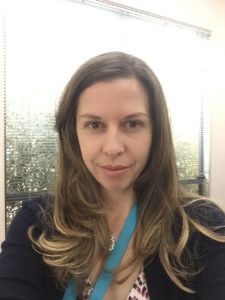
Rebecca Gregory
Rebecca Gregory joined CSIRO Marine and Atmospheric Research in 2010 working within the Major Greenhouse Gases team as the laboratory manager for the Global Atmospheric Sampling LABoratory (GASLAB). She was the primary operator of the key laboratory instrumentation, organised CSIRO’s global flask network and CSIRO’s contribution to intercomparison activities with collaborative organisations. Additionally, she was involved in the assessment of data quality and consistency for laboratory and field instrumentation. From early 2018, Rebecca has been working within the Sea Level, Waves and Coastal Extremes team on the Tide Gauge Digitisation Project and the sea level extremes eResearch project.
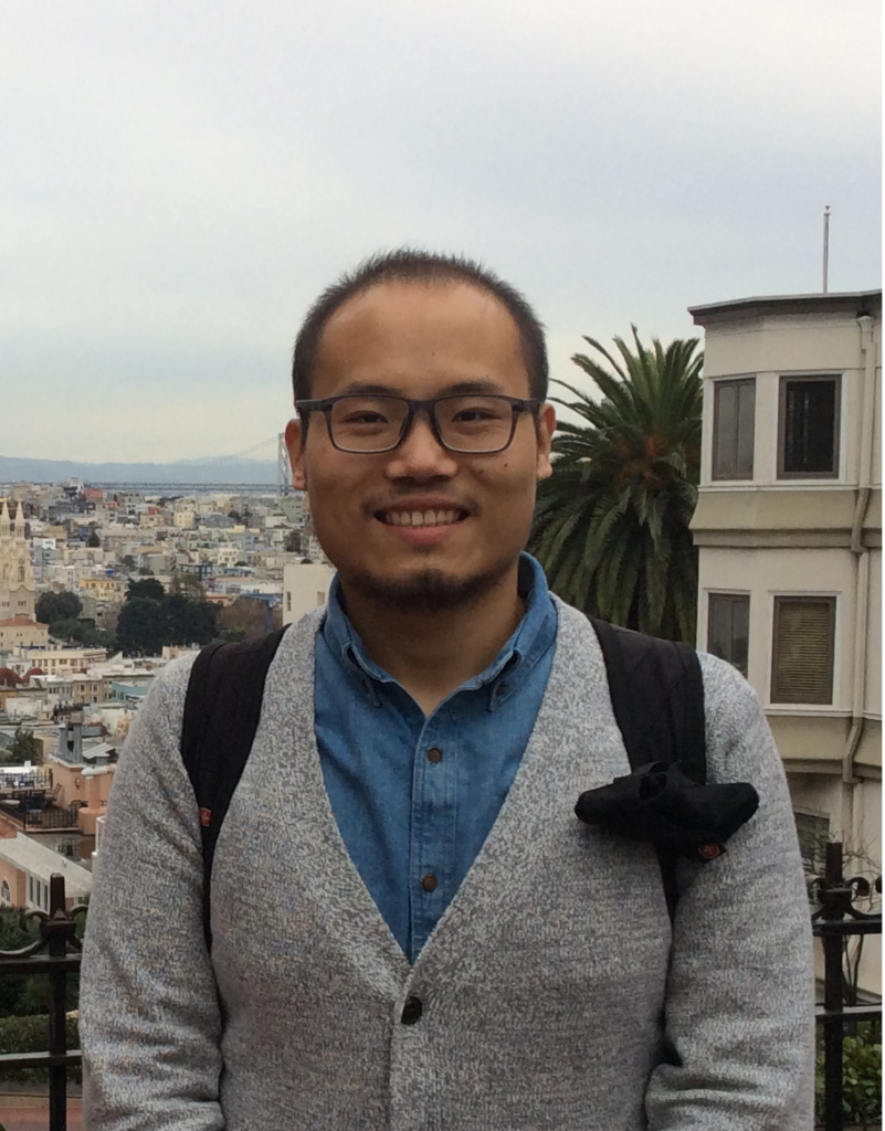
Kewei Lyu
Kewei has returned to China as Associate Professor at a prestigious university, and now leads his own sea level group. Kewei was a Postdoctoral Research Fellow working with Xuebin Zhang and John Church, whose research contributed to the CSHOR sea level project (https://cshor.csiro.au/projects/the-role-of-the-southern-ocean-in-sea-level-change/), with focuses on the Southern Ocean sea level change and the associated heat uptake and redistribution. Kewei received his PhD in Physical Oceanography in 2015 from Xiamen University, China. During his study, he spent two years in Hobart as a visiting student with our sea level team. His PhD work compares regional sea level changes due to external forcing and natural climate variability, particularly the large-scale decadal-to-multidecadal sea level variability in the Pacific. Before returning back to Hobart, he worked as a Postdoctoral Researcher in the Department of Earth System Science at the University of California, Irvine, studying dynamics of atmospheric processes that drive the regional sea level changes.
Didier Monselesan
Didier Monselesan joined CSIRO Marine and Atmospheric Research, in 2008, where he is participating in the Centre for Australian Weather and Climate Research sea level studies and forecasting efforts. Didier started his Australian career at the Australian Antarctic Division (AAD) in the Upper Atmosphere Physics group as an expeditioner wintering at Casey Station in 1993 and 1995. He pursued his interests in upper atmospheric physics at the Ionospheric Prediction Services (IPS) Radio and Space services in Sydney. His focus gradually shifted down from the upper atmosphere to mesospheric and stratospheric studies when rejoining the Australian National Antarctic Research Expedition to work on the AAD LIDAR experiment at Davis Station from 2006 to 2008. On his return, he decided to take a plunge into the Ocean by joining the CSIRO Marine and Atmospheric Research laboratories in Hobart.
Our Work
| An overview of our research is provided here. | |
Sea Level and thermal expansion |
|
Extending the Global Mean Sea Level (GMSL) time series back in time using tide-gauge data, and forward to the present using both tide-gauge and satellite-altimeter data |
|
Understanding the variability in the historical sea level record, including the effect of volcanic eruptions on sea level |
|
Estimating ocean thermal expansion and ocean heat content changes over the last 50 years using historical ocean temperature data |
|
Satellite data processing |
|
Satellite altimeter data processing and calibration |
|
Ocean waves |
|
Study of the variability and change in the global wind-wave climate |
|
Collection, analysis and dissemination of global and national scale wind-wave observations and model data |
|
Ocean energy |
|
Characterisation of ocean renewable energy resources and potential environmental effects |
|
Sea level impacts and extremes |
|
Study of the effects of sea level rise and other climate factors on the frequency and magnitude of coastal extreme events (e.g., storm surge) |
|
Study of areas at risk of coastal inundation |
|
