Measurements and data
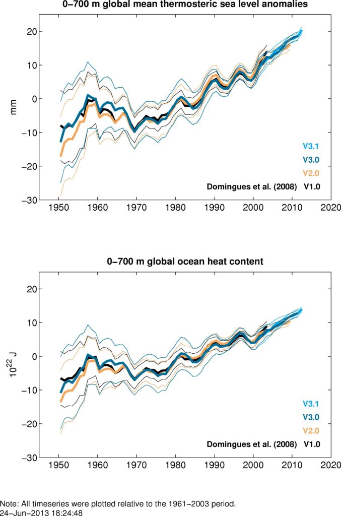
This area contains information and data access links, as well as some publication-ready images for download.
Sea level is measured via paleo indicators, tide gauges, and satellite altimeters.
Data is available from a number of sources, including locally hosted altimeter and publication data, as well as the National Tidal Centre, and the PSMSL.
For education: Our published global mean sea level data has been adapted by Dr Linda McIver (ADSEI) and CSIRO Education to produce a data science activity “Reconstructed Global Mean Sea Level” appropriate for school students in years 7-10.
Other data resources, project descriptions, and sea level information.

