Resources
The documents below provide further information relating to NovaSAR-1. If you require any further information please Contact us.
Complimentary Ground Based Datasets
The Terrestrial Ecosystem Research Network (TERN) delivers measurements of key terrestrial ecosystem attributes over time at hundreds of representative locations across Australia for uses including the calibration/validation of satellite imagery. TERN provides these data open-access via a Data Discovery Portal. For more information visit the TERN website.
Since 2020 CSIRO has been collecting images over the TERN Ecosystem Processes SuperSites with NovaSAR-1 so if you are interested in using the data please contact us here or search the CSIRO NovaSAR-1 National Facility Datahub for your are of interest.
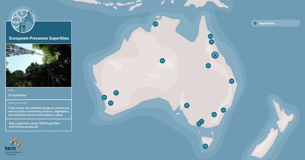
TERN Ecosystem Processes SuperSites within Australia Source: TERN
Online Synthetic Aperture Radar (SAR) Learning Resources
The following providers offer information and courses to help gain a better understanding of SAR data.