• CSIRO.au
CSIRO.au
Centre for Earth Observation
Skip to content Skip to search
  • About
  • News
  • EASI
  • Satellite Cal/Val
    • Pinnacles
    • AusCalVal
  • NovaSAR-1
    • About NovaSAR-1
    • NovaSAR-1 User Guide
    • Data access
    • Resources
    • Contact
  • SAR capability
  • Partnerships
  • Case Studies
  • CSIRO.au

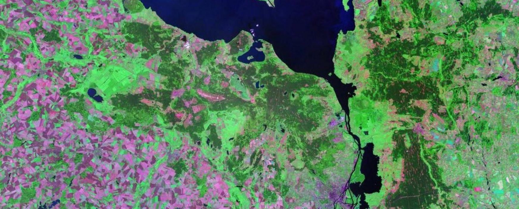
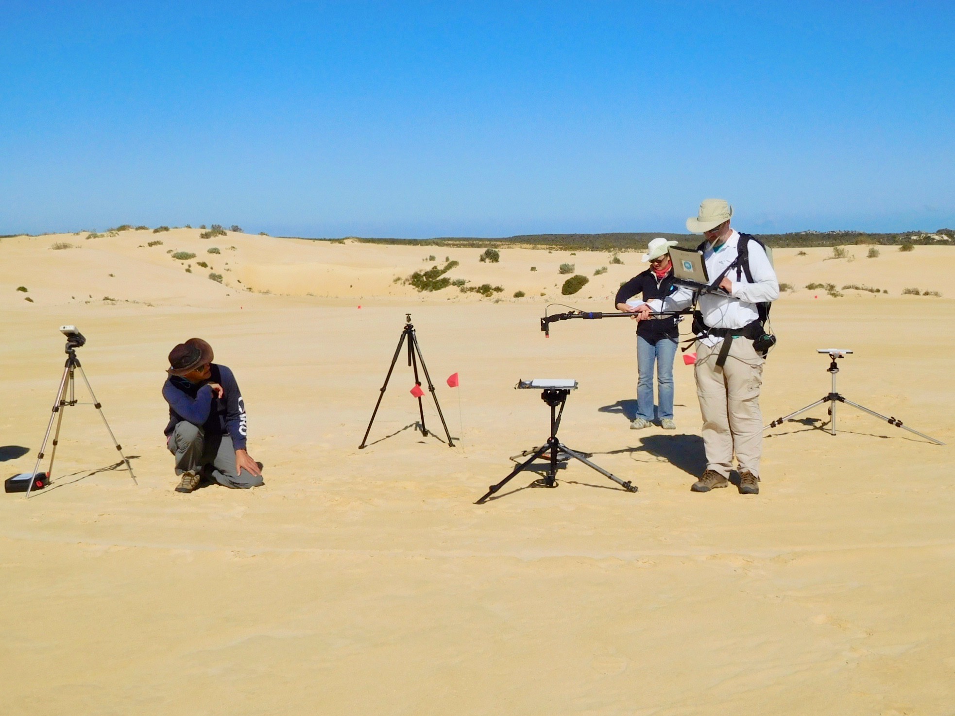
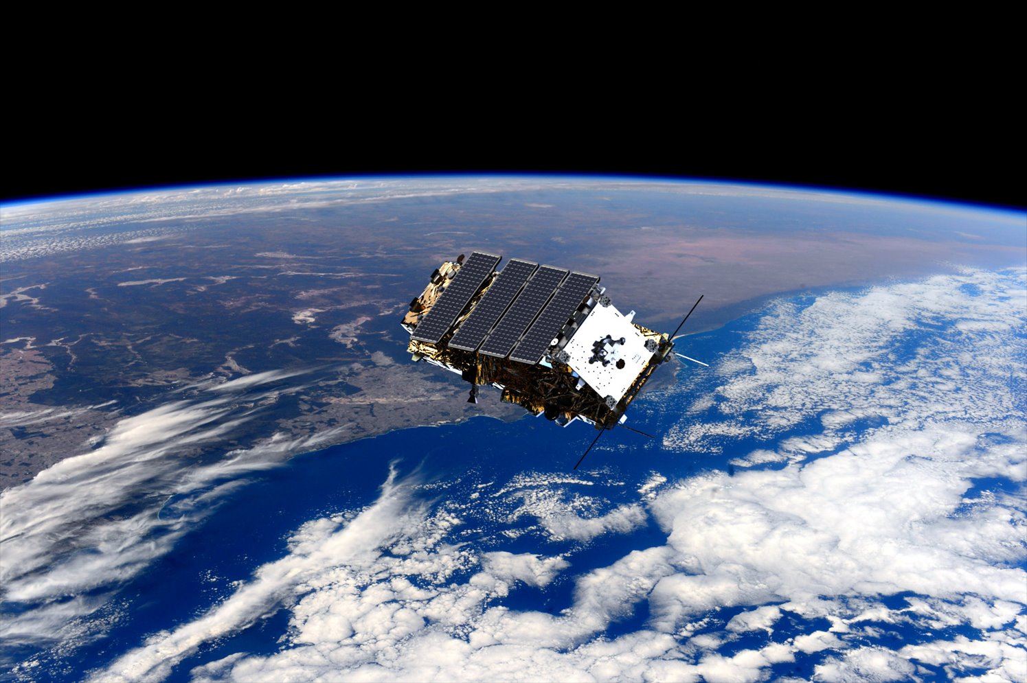
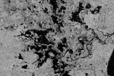
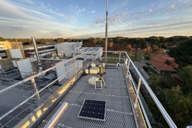
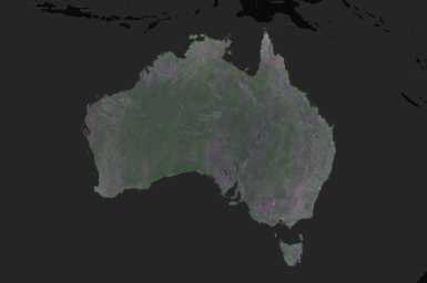
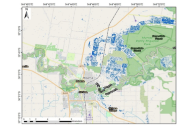
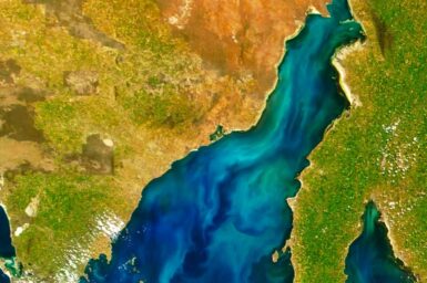
Monitoring the pulse of Earth

Data about Earth, collected by hundreds of Earth-observing satellites orbiting the planet, is critical to understanding the state of our land, water and atmosphere, and for managing our resources, monitoring the weather, mapping disasters, and tracking how our world is going.

Scroll down the page

Our key activities

EASI data analytics

Satellite calibration using the Pinnacles site in Western Australia

Satellite calibration and validation

Computer generated image of NovaSAR-1 in orbit

NovaSAR-1 national facility

Synthetic Aperture Radar capability

Partnerships

Latest news

AERONET: ensuring quality satellite data for mineral exploration

The latest additions to AERONET's automated network of atmospheric data are helping validate satellite data for mineral exploration.

CSIRO awarded Earth Observation Program of the Year 2025

On 28th May the sixth annual Australian Space Awards was held to recognise the leading professionals and businesses driving change […]

New NovaSAR-1 National Facility Datahub launching later this year 

We are excited to announce the release of the new CSIRO NovaSAR-1 National Facility datahub later this year. The new […]

Smartsat CRC uses NovaSAR-1 and Sentinel-1 to revolutionise Australian flood management

Harnessing NovaSAR and Sentinel satellite imagery to revolutionise Australian flood management

Case Studies

Bushfire analysis over Fraser Island using Sentinel-2, NovaSAR-1 and Sentinel-1

Application of S-band NovaSAR-1 to bushfires in Australia

Bushfires are a major threat to lives, properties and ecosystems in Australia. We applied NovaSAR-1 S-band synthetic aperture radar data acquired during the first 12 months of operations to assess bushfire impacts in three locations.

National Bushfire Intelligence Capability

Built on EASI, the National Bushfire Intelligence Capability addresses the on-going need for science-based, readily accessible, authoritative national data and analyses on bushfire hazard potential and risk that considers future climate over a range of timescales.

AquaWatch Australia

AquaWatch Australia uses the EASI platform to aggregate and analyse water quality data from Earth observation satellites and in-situ sensors. By integrating environmental modelling and artificial intelligence, we can develop forecasts to better anticipate future conditions.

At CSIRO, we solve the greatest challenges through innovative science and technology.

  • Connect with us on Facebook
  • Connect with us on Instagram
  • Connect with us on LinkedIn
  • Hear our our Spotify playlists
  • Threads
  • Watch our youtube videos

  • Access to information
  • Accessibility
  • Copyright
  • Legal notice and disclaimer
  • Policy & Guidelines
  • Your privacy

We are committed to child safety and to the implementation of Child Safe principles and procedures.

  • Contact us

Subscribe to CSIRO updates

  • Subscribe now

CSIRO acknowledges the Traditional Owners of the land, sea and waters, of the area that we live and work on across Australia. We acknowledge their continuing connection to their culture and pay our respects to their Elders past and present. View our vision towards reconciliation.