From fields to frontlines: the impact of the war in Ukraine on global food supply
Originally published on www.csiro.au 29 June 2023
We’ve applied statistical modelling to satellite imagery to understand the impact of the war in Ukraine on crop growth and exports.
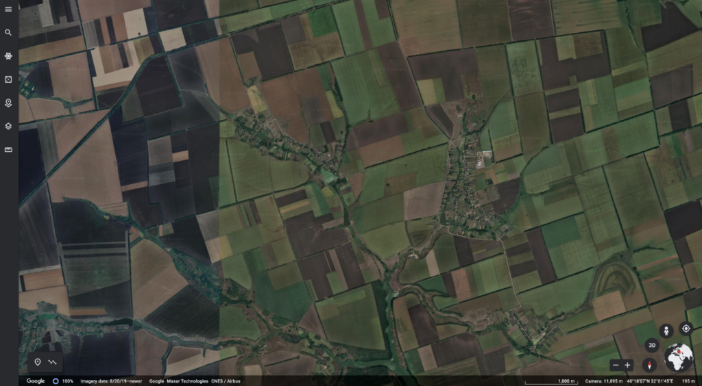
To access data on crop productivity after the invasion of Ukraine, our researchers used remote sensors like the Google Earth Engine. Image: Google, Maxar Technologies, CNES/Airbus
Our researchers analysed images of Ukrainian cropland and cargo shipping activity after the Russian invasion taken by satellites.
Their work, published in the public access journal PLOS1, uses statistical modelling techniques to compare cropping and supply patterns in 2022 with historical data.
The results help pinpoint the impact of war on the global food supply.
An early warning system for global food security
This work demonstrates rapid insights can be gained from satellite data during global challenges to inform international responses.
Coauthor Dr Roger Lawes is a farming systems scientist in our Agriculture and Food business unit. He said the method could be applied on a wider scale to act as an early warning system for global food security.
“This combination of farming systems research with big data analytics has created a new way to rapidly monitor the global food supply,” Roger said.
“Quantifying the global impact of an ongoing event less than a month after it began could help manage acute food shortages.
“This method could help enhance the preparedness and resilience of the world’s food system in the face of changing environmental, geopolitical and economic circumstances.”