Increasing efficiency and safety in logistics by using autonomous vehicles ensures limited dependency on human operations under hazardous conditions. Woodside […]
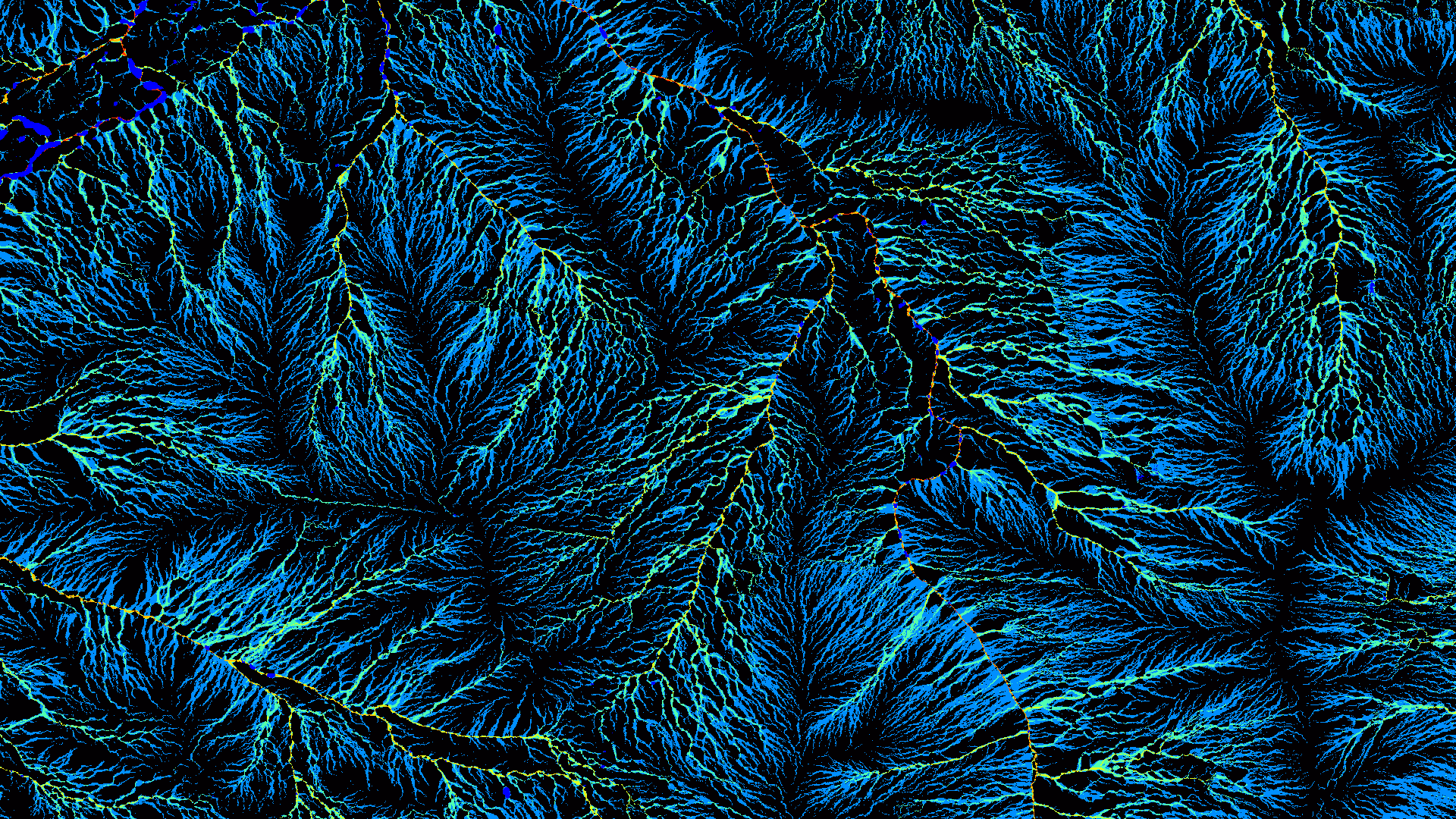
Elastic LiDAR Fusion: Dense Map-Centric Continuous-Time SLAM The concept of continuous-time trajectory representation has brought increased accuracy and efficiency to […]
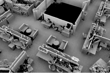
Paper ICRA2018: Complementary Perception for Handheld SLAM We present a novel method for mapping general three-dimensional environments, where sufficient geometric […]
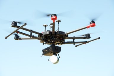
Hovermap is an award-winning 3D lidar mapping and autonomy payload for industrial drones developed by our group. It provides SLAM-based […]
HeatWave: 3D Thermography System HeatWave is a small handheld 3D thermography device that is able to generate a precise 3D […]
3DPlus: Simultaneous LIDAR Mapping and Measurement 3DPlus is a 3D LIDAR system with additional sensing capability for realtime sampling, combined […]
Milestones in the Automated Bobcat Project include: Automated Bobcat will scan a pile of dirt and create the 3D area […]
3D laser scan data of Cliefden Caves, NSW, Australia. Data were acquired using the Zebedee 3D Mapping System, a handheld […]
3D laser scan data of Wellington Caves, NSW, Australia. Data were acquired using the Zebedee 3D Mapping System, a handheld […]
3D laser scan data of the Murtoa Stick Shed (also known as the 'Murtoa Grain Store', 'Marmalake/Murtoa Grain Store', or […]