Digital Solutions for Weed Managers
October 21, 2025
CSIRO empowers land managers and policy makers with insights on whether, where and when on-ground invasive weed control activities lead to beneficial outcomes.
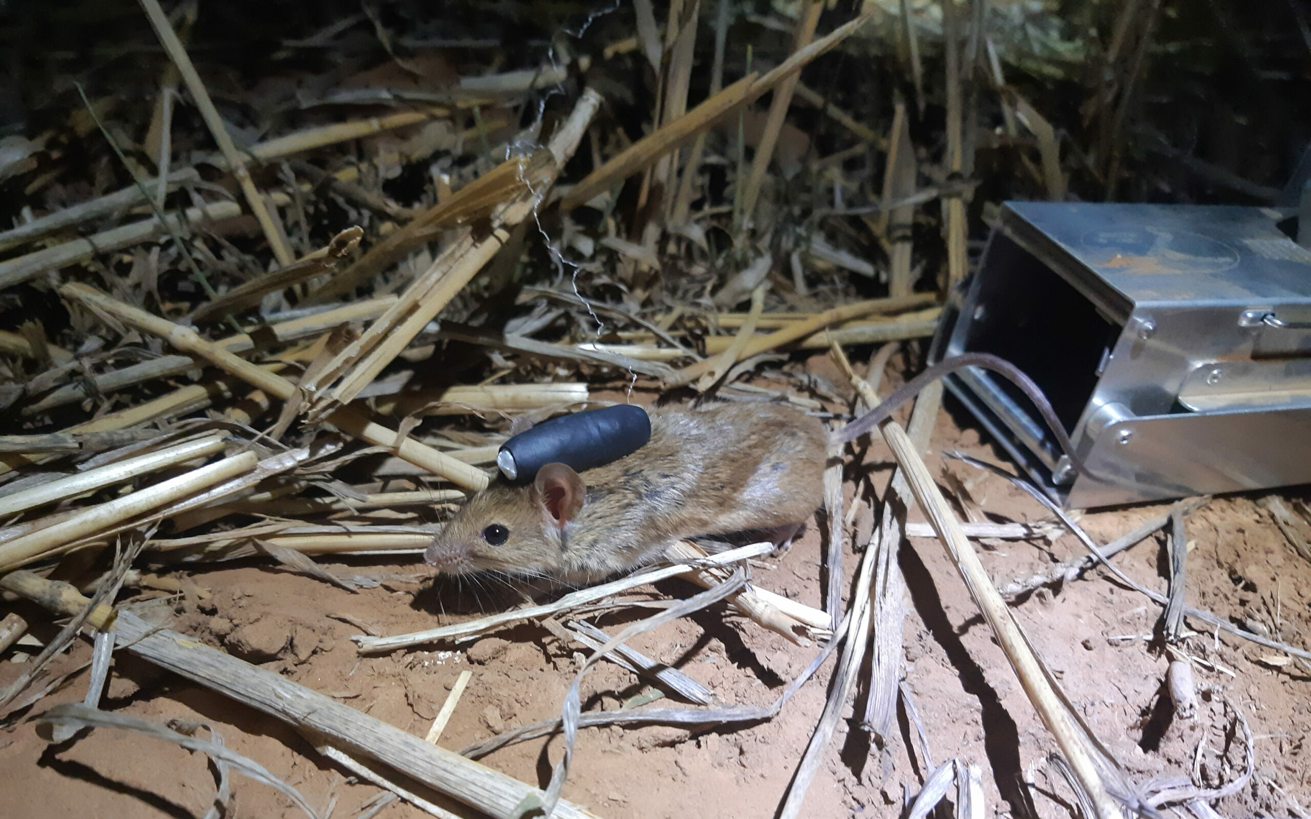
Rodent Pest Management
February 14, 2022
Our research is informing best practice management of pest rodents within Australia’s agricultural regions,

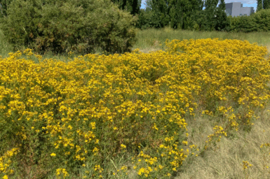
Area wide management of weeds
October 27, 2020
There is an an increasing need for greater coordination of weed management activities beyond an individual farm boundary and across a broader local area.
Growth opportunities for Australian food and agribusiness
September 10, 2020
CSIRO’s economic analysis finds that opportunities identified in CSIRO’s 2017 Food and Agribusiness Roadmap could be worth $25 billion by 2030.
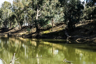
Groundwater Management
July 14, 2025
Support decision-making for sustainable management of groundwater resources under future climate, water management and resource development scenarios at local, regional and national scales.

Pyropage
November 15, 2016
A repository of CSIRO’s PyroPage bulletins, a bushfire science communication tool intended to provide bushfire practitioners with a rapid summary of critical new research results from CSIRO’s Bushfire Behaviour and Risks team.

Pollution and Waste
September 18, 2025
The Industry Environments Program leads efforts to solve Australia’s waste and chemical challenges using multidisciplinary science across chemistry, microbiology, molecular biology, environmental science, and synthetic biology.

Sustainable Carbon Technologies
May 9, 2023
Advancing CO₂ capture, utilisation and storage technologies towards net zero emissions.