Capability
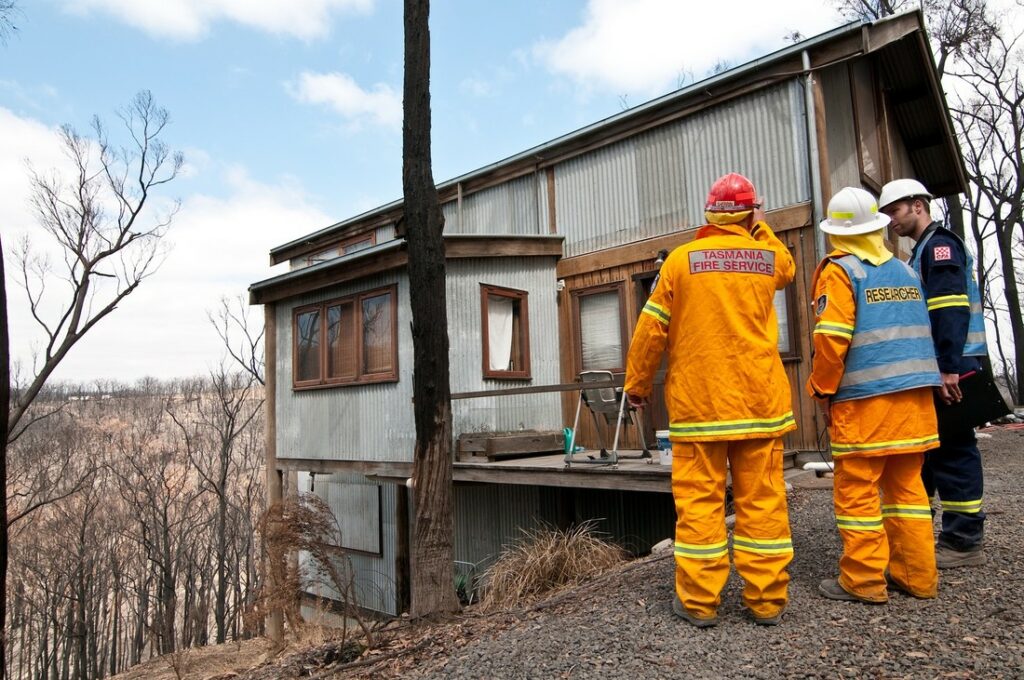
Researchers and emergency services staff work together to share data and information for bushfire research.
Researchers and emergency services staff work together to share data and information for bushfire research.
Our team includes:
NBIC Lead: Justin Leonard
NBIC Council Chair and Stakeholder Manager: Neil Cooper
Program Manager: Neeyati Patel
Social Architect: Paul Box
User design practitioner: Elana Berton
Communication and knowledge broker: Clare Brandon
Project and publications support: Tamsin Wagner
Climate and data science team: Alessio Arena, David Robertson, Durga Shrestha, Yong Song
Fuels modelling, remote sensing and bushfire behaviour: Miguel Gomes Da Cruz, Randall Donohue, Nathan Drayson, Rakesh Joshi, Glenn Newnham, Andrew Prata, Chandrama Sarker, Catherine Ticehurst, Roozbeh Valavi, Tom Van Niel including collaboration with Geoscience Australia–Emergency Management Spatial Information Network Australia: Norman Mueller, Kane Orr, Erin Telfer and team
Topography, workflow, spatial analyses: Kimberley Opie, Arthur Read, Chandrama Sarker, Roozbeh Valavi
Risk reduction: Raphaëlle Blanchi, Ranisa Gupta, Garth Warren,
Technical architecture, data engineering and cloud development: Peter Baker, Ranisa Gupta, Ben Leighton, Chris Okugami, Omid Rezvani, Hao Tang, Jonathan Yu
Earth Analytics Science and Innovation Hub (EASI)

The National Bushfire Intelligence Capability uses CSIRO’s Earth Analytics Science and Innovation Hub (EASI).
EASI is designed as a Science-as-a-Service platform to support scalability and improve our connection to innovative science and the public and private sectors, both nationally and abroad.
EASI facilitates NBIC’s big data ingestion, integration, processing and modelling capabilities, which in turn provide users with analytical and decision-support capabilities, quickly and reliably.