AlteTreat
June 3, 2016
Explore patented Heat Treatment of High Pressure Die Casting (HPDC-HT) for aluminium alloys on a what-if basis.

ANACC Methods and Materials
February 20, 2020
Australian National Algae Culture Collection (ANACC) Methods and Materials
ASPIRE
February 28, 2017
ASPIRE (Advisory System for Processing, Innovation & Resource Exchange) is an online marketplace which intelligently matches businesses with potential remanufacturer, purchasers or recyclers of waste resources.
Risk Lab Australia
September 27, 2016
RiskLab at CSIRO’s Data61 provides the avenue for industry to engage directly with the extended network of technologists and academia to come up with innovative solutions and tools in quantitative risk and decisions-under uncertainty.
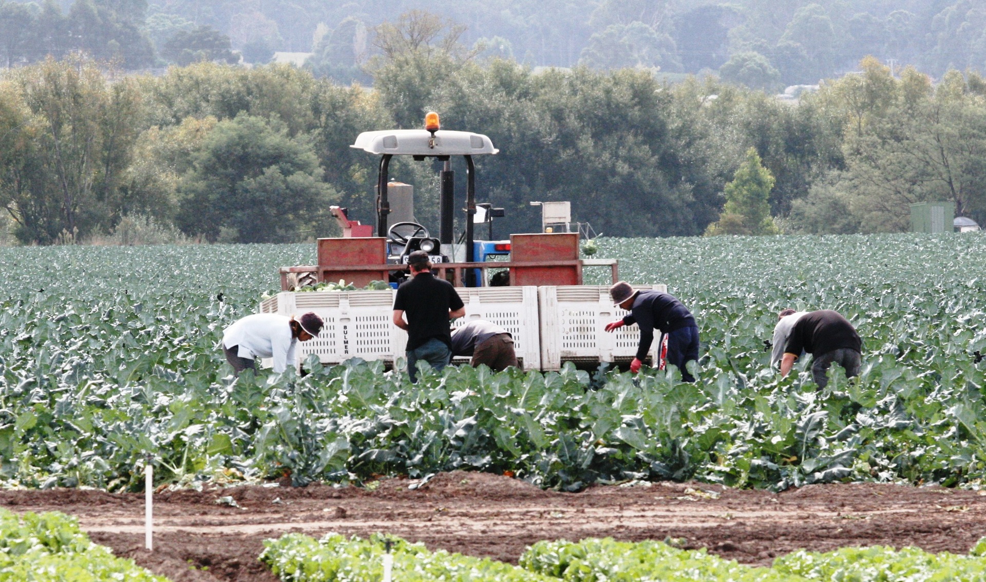
Towards a next generation food manufacturing hub for Gippsland
February 10, 2022
With our project partners, we’ve developed a collaboration framework to support and progress the concept of a food manufacturing hub for Gippsland focused on horticultural products.

Revolutionary Energy Storage Systems
July 14, 2022
Future Science Platform – Developing radical energy storage systems

Language and Social Computing
July 13, 2017
We are interested in topics such as sentiment and emotion analysis, social media text analytics for mental health and social science, social network analysis, social media analytics for emergency crisis coordination, and enterprise document information systems.

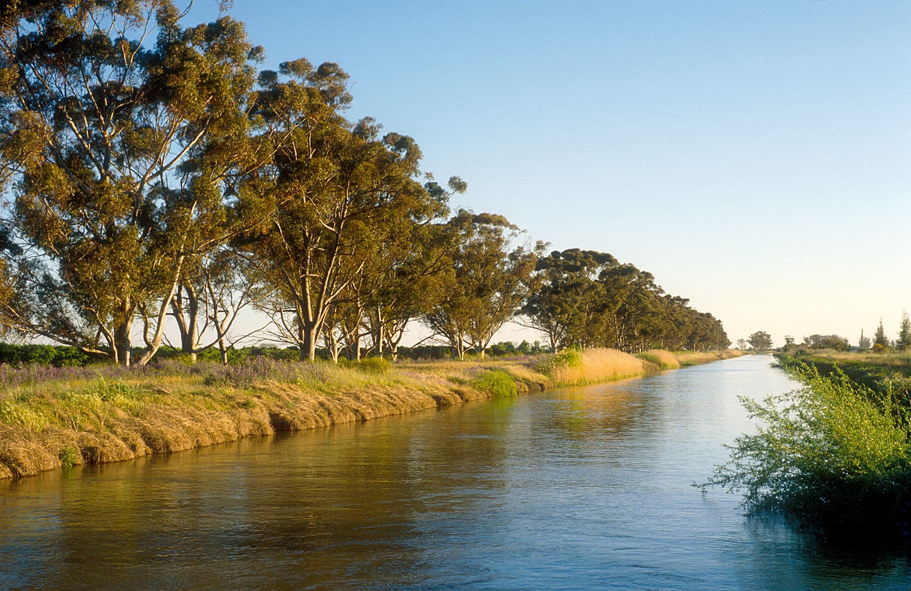
Managed aquifer recharge
February 15, 2016
Managed aquifer recharge plays an important role in integrating the management of surface and groundwater resources for security of water supply while ensuring public health and environmental protection.