Cid Harbour / Hook Passage
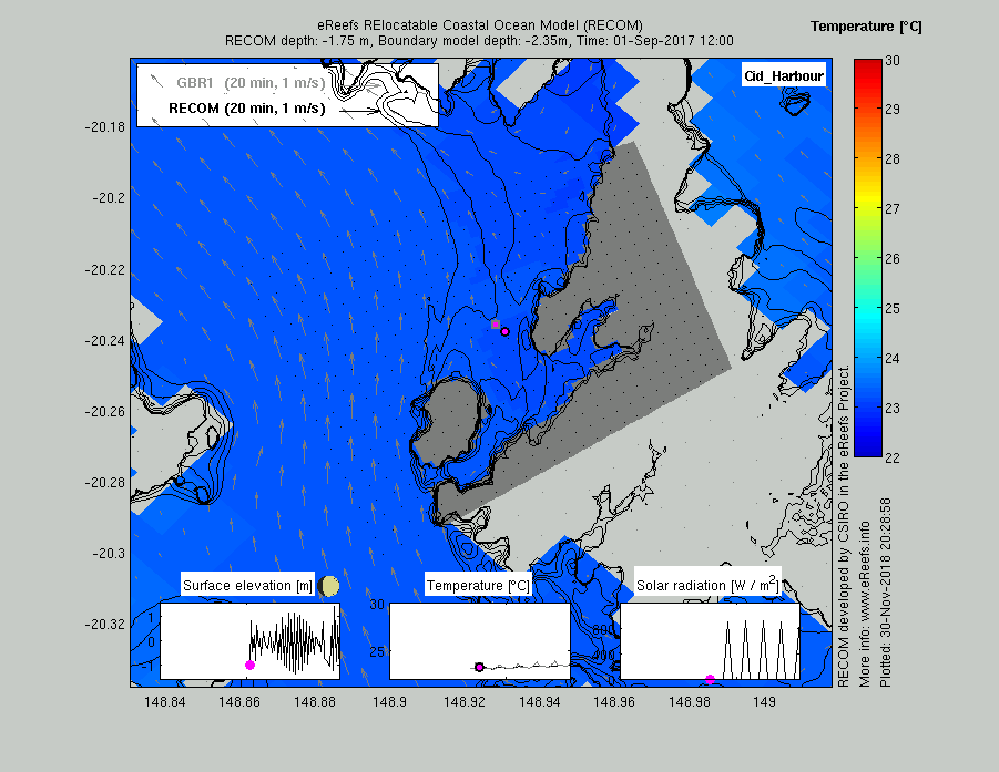
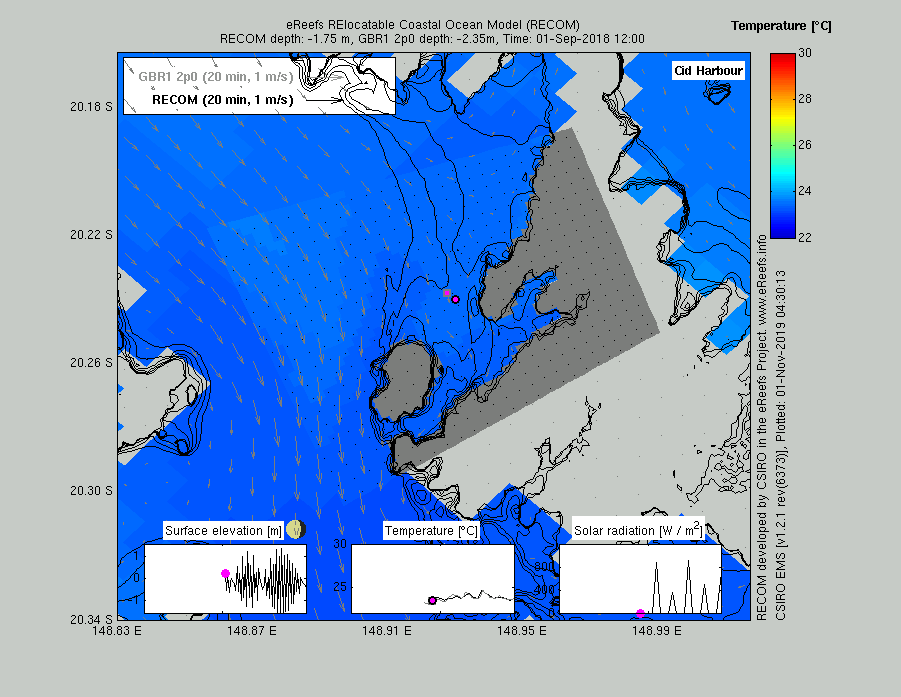
The animations below of Cid Harbour (click to start) shows near surface (see title for layer depths in both models) temperature and velocity in September 2017 and September 2018. The velocity arrows have been scaled such that their length represents the speed of the current, as well as the distance travelled over a time period (see legend top left). The thin black lines show depth contours from the GBR100v4 Beaman bathymetry. Additionally, inserts shows surface elevation, near-surface temperature, solar radiation at the pink symbol with the black dot over a month, 10 days and 10 days, centred on the time of the surface plot (as indicated by a pink circle with black boarder) from the RECOM model. The temperature insert shows both the RECOM (black line, pink circle) and GBR1 (grey line, pink square) temperature time-series. In this example, GBR1 model in this region is approximately 1 km resolution, while the RECOM configuration is about 200 m.
An animation of Hook Passage at the same time (improved visualisation will be downloaded shorty).
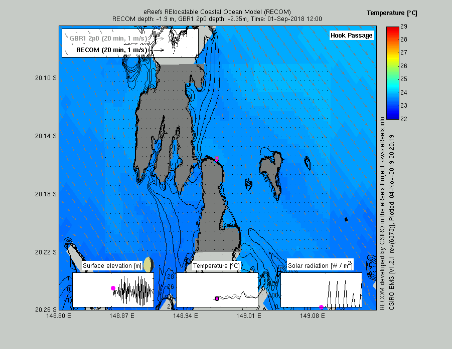
eReefs has two resolutions – a 4 km and a 1 km. Because the 4 km model does not resolve Hook Passage (that is, Whitsundays Island and Hook Island are one continuous land mass) the circulation on the western coastline of Whitsundays Island is best resolved with the 1 km model. As of the 19 October 2019 there appears to little recent impact of river plumes, but we will have a better view when the 1 km model has calculated through the entire month of October 2019.