• CSIRO.au
CSIRO.au
eReefs Research
Skip to content Skip to search
  • Home
  • Data
    • How to access eReefs data
    • Information architecture
  • Models
    • Summary
    • About the models
    • RECOM
    • Model outputs
    • Peer-reviewed research that uses eReefs outputs.
  • Remote sensing
    • How it works
    • Regional Algorithms
    • Satellite Data and Processing
    • Access to Data
    • Further reading
  • More
    • About eReefs
    • Contact
  • CSIRO.au

Welcome to eReefs

eReefs is a platform that provides a picture of what is currently happening on the reef, and what will likely happen in the future.

Dive in
Scroll down the page
eReefs research project banner

About eReefs

The eReefs research project is a collaboration between the Great Barrier Reef Foundation, CSIRO, AIMS, Bureau of Meteorology, and Queensland Government. It aims to develop a platform that will provide a picture of what is currently happening on the reef and what will likely happen in the future.

Models

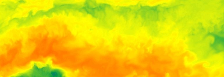
The eReefs Environmental Modelling Suite includes hydrodynamic, sediment, wave and biogeochemistry models for the Great Barrier Reef ecosystem. Click here to learn more about the models and model outputs.

Great Barrier Reef

Remote sensing

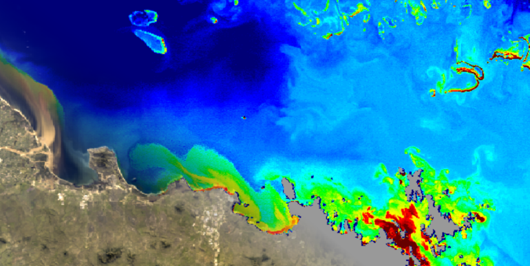
Remote sensing of ocean colour for marine water quality is a key advanced monitoring technologies being incorporated in the eReefs portfolio. Click here to find out more about eReefs satellite remote sensing.

information arcthitecture

eReefs data

eReefs data is delivered through an interoperable information architecture. The system improves how data is described, discovered and accessed and adopts many of the 'Linked Data' principles.

At CSIRO, we solve the greatest challenges through innovative science and technology.

    • Contact us
    • 1300 363 400

    Subscribe to CSIRO updates

    • Subscribe now