CSIRO.au
Data61
Events
Contact us
Gallery
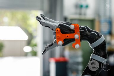
Robotics
Skip to content
Skip to search
About us
Research & Technology
Projects
Publications
Code, Software and Datasets
Awards
News
Work with us
Home
Contact us
Research & Technology
Events
About us
Research & Technology
News
Work with us
Photo Gallery
CSIRO.au
Data61
Events
Contact us
Gallery
Search
Search
Dataset
#Dataset
AgScan3D Viticulture Datasets
Manipulation Benchmark
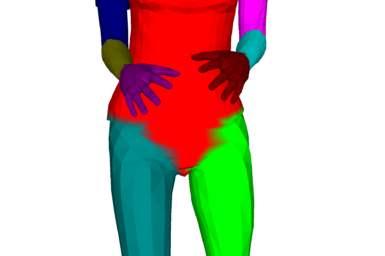
Synthetic Human Model Dataset for Skeleton Driven Non-rigid Motion Tracking and 3D Reconstruction
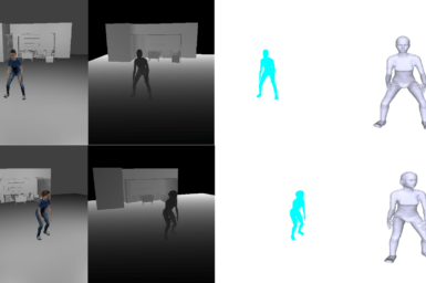
Synthetic Data for Non-rigid 3D Reconstruction
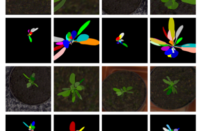
Synthetic Arabidopsis Dataset
Jenolan Caves: 3D Data Collection
Cliefden Caves: Zebedee 3D Data Collection
Wellington Caves: Zebedee 3D Data Collection
Murtoa Stick Shed: Zebedee 3D Data Collection
Royal Exhibition Building: Zebedee 3D Data Collection
1
2
>