
Applied quantum computing
August 4, 2022
CSIRO is conducting research to showcase the advantages and identify limitations in quantum annealing for materials modelling and process optimisation, in collaboration with global leaders in quantum-annealing quantum computers.
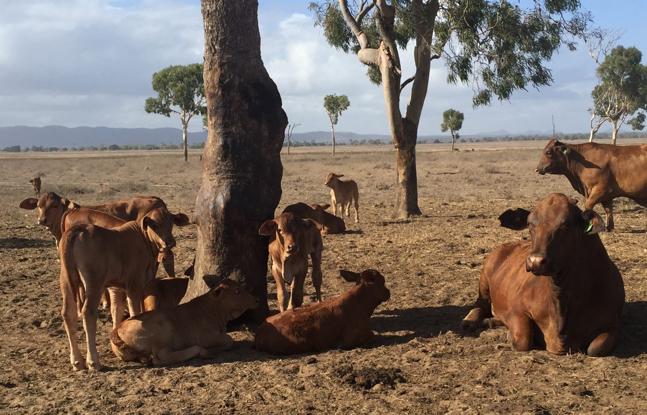
Livestock
July 10, 2020
We work with livestock farmers and allied industries to improve their productivity, profitability and sustainability through better livestock breeds and management practices.

CSIRO ASKAP Science Data Archive
May 19, 2020
The CSIRO ASKAP Science Data Archive (CASDA) is making data from Australia’s SKA Pathfinder (ASKAP) telescope available to the astronomical community.
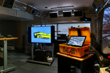
Remote Management Centre
February 15, 2024
The facility is focused on improving safety, productivity and sustainability by applying tele-technologies in the areas of operation, supervision, collaboration and assistance
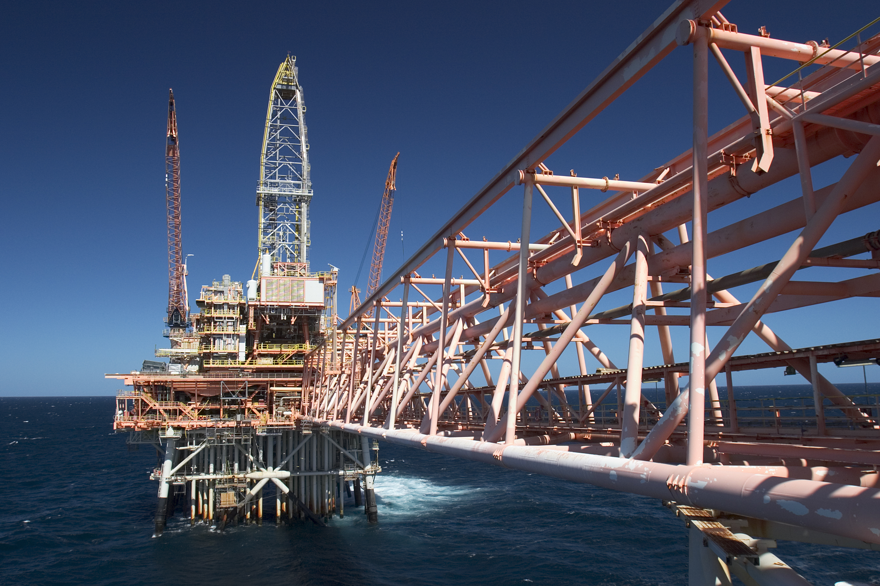
Oil & Gas
February 15, 2016
CSIRO has a long history of research into petroleum systems and technologies used by the oil and gas industry. Our research is aiding Australia’s transition into a clean energy future.
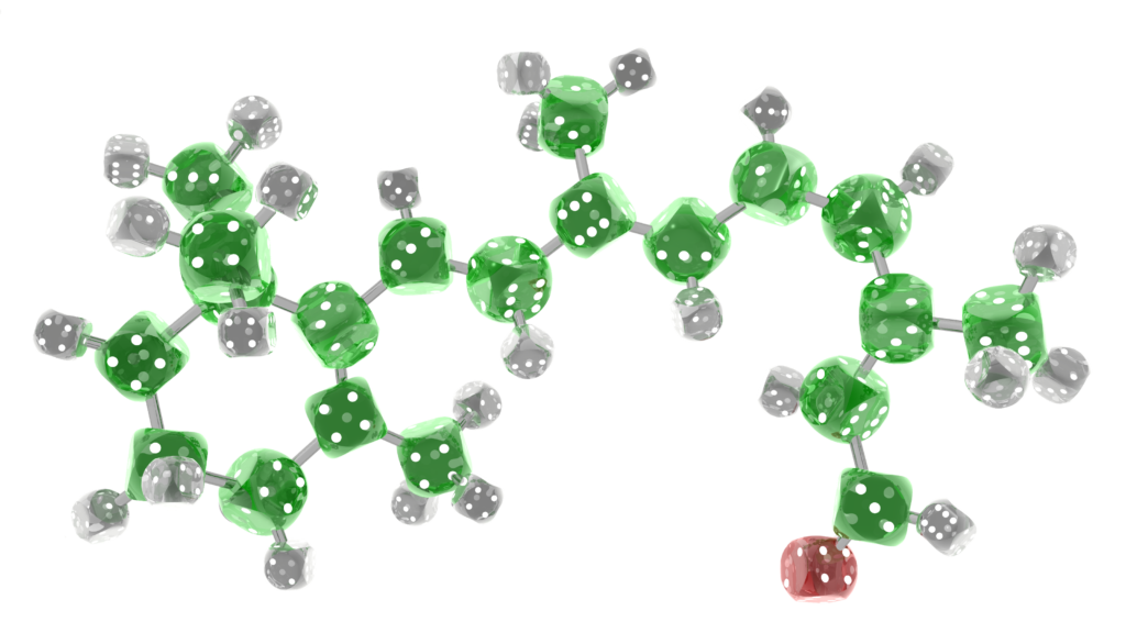
Molecular & Materials Modelling
August 22, 2016
Enabling the next generation of computational research in the chemical, physical and materials sciences.
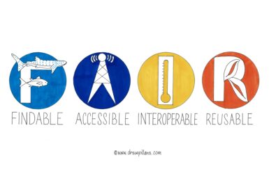
FAIR for Imagery
June 1, 2022
FAIR-for-imagery is an exciting new project that aims to bring CSIRO’s COR image-based data to the forefront of international standards for FAIR image collection, storage and organisation.
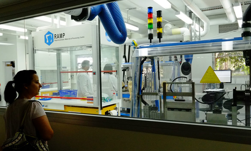
Rapid Automated Materials and Processing Centre
August 30, 2018
Our goal is simple: to use automation, robotics, and experimental design to help our CSIRO colleagues, academic collaborators, and our business partners undertake their materials research faster, more efficiently, and with greater breadth than they can do using traditional methods.
Pest READI
April 24, 2024
A $10 million, 5-year collaborative project sponsored and funded by the Catalysing Australia’s Biosecurity mission and Hort Innovation.