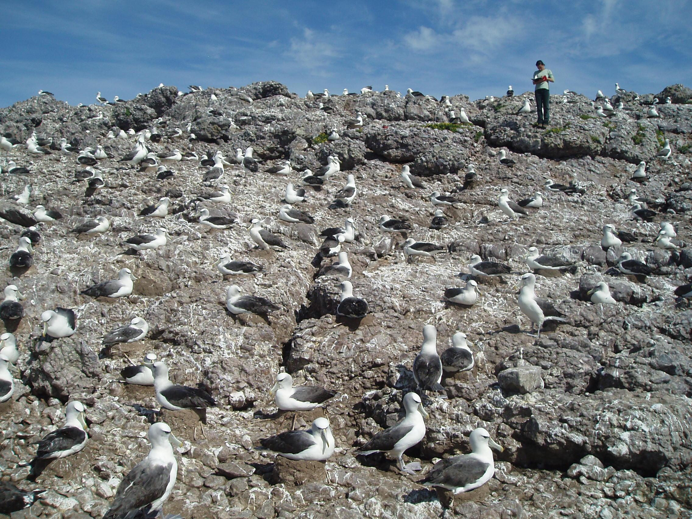
Threatened, Endangered or Protected Species
February 12, 2018
Our work on threatened, endangered and protected species represents a diverse portfolio of work, with strong links to researchers from Universities and other agencies.
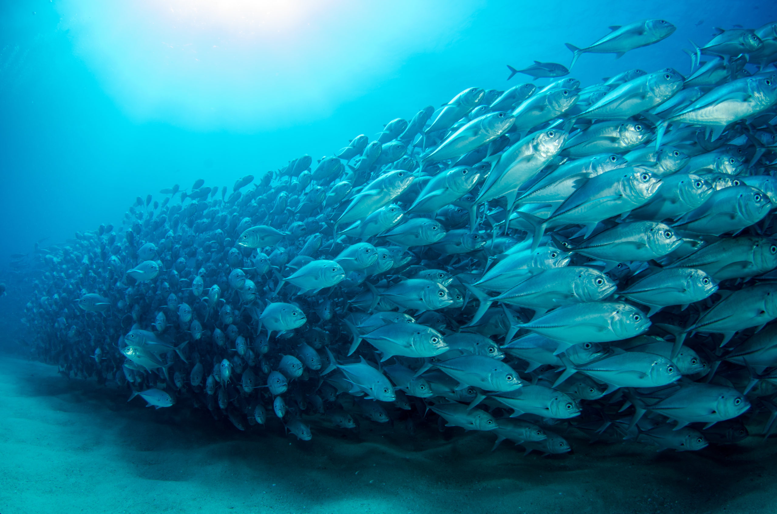
Ocean Futures
December 16, 2019
The goal of the Ocean Futures project is to develop new insights, approaches, understanding and tools that can help marine scientists, managers and policy makers prepare for future challenges.
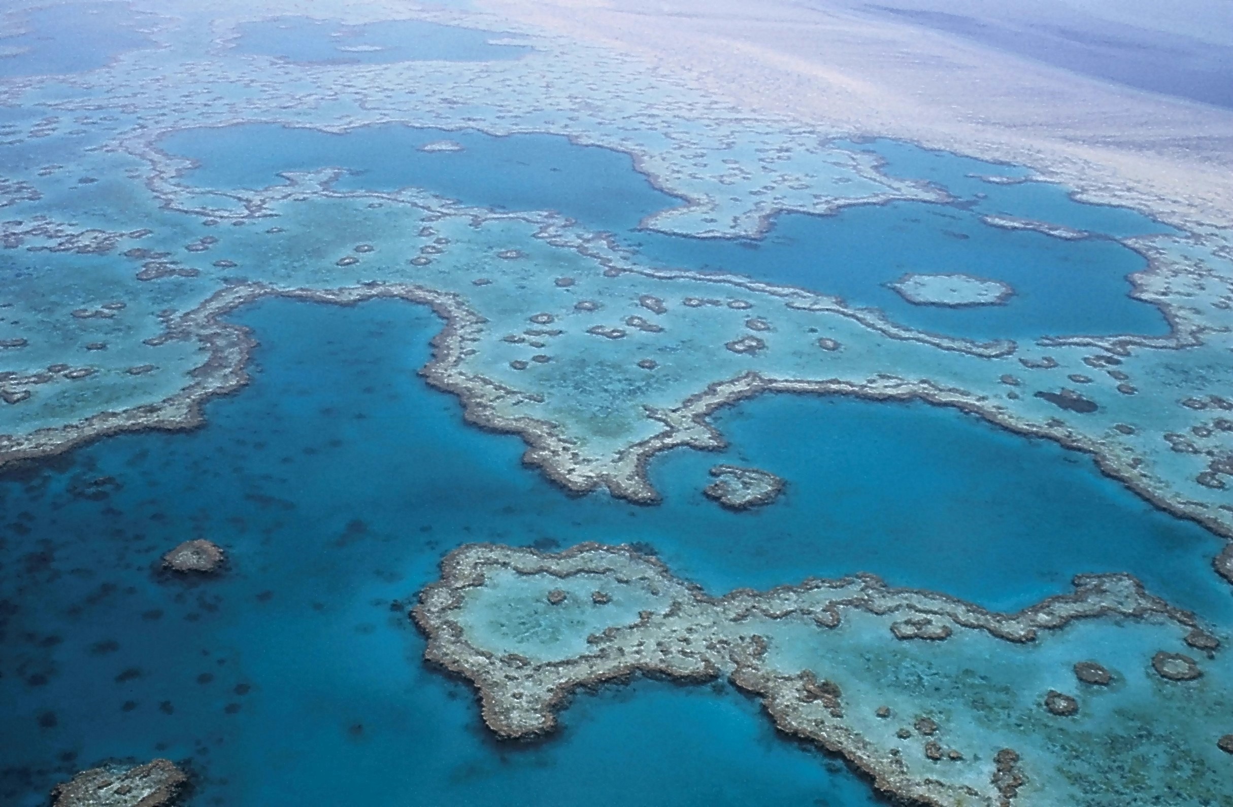
Coastal Environmental Modelling
January 29, 2018
The Coastal Environmental Modelling Team delivers environmental intelligence for decision support tools.
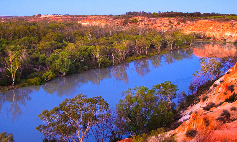
Managing Water Ecosystems
May 9, 2018
We investigate how water ecosystems respond to different water resource management and allocation strategies, including environmental water flows.
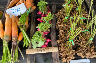
Pacific Agrifood Futures
August 2, 2024
Through regional and country led collaborations we are undertaking systems research to better understand and enable Pacific agrifood systems to respond to current and emerging challenges impacting the resilience and sustainability of the pacific agri-food systems
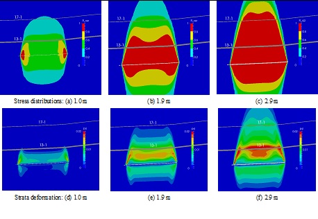
Mining Geomechanics Team
June 18, 2018
The Mining Geomechanics team provides scientific tools and practical solutions to industry to minimise adverse impacts of mining on the environment and improve safety and productivity of mining operations.

Urban and Industrial Transformations
September 16, 2021
Discover how we are helping to build cities that are fit for the future.

The Mamma Framework
August 28, 2023
The Mamma Framework offers people a way to think more explicitly and clearly about their role in enabling system level change for sustainability.
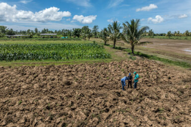
Pacific Climate-resilient Agriculture
April 12, 2024
Improving soil and food security for climate-vulnerable communities in the Pacific