STEM Community Partnerships Program
December 17, 2020
The STEM Community Partnerships Program (STEM CPP) invites year 9 and 10 students to participate in STEM inquiry-based projects (at their schools) to address challenges faced by their local communities.
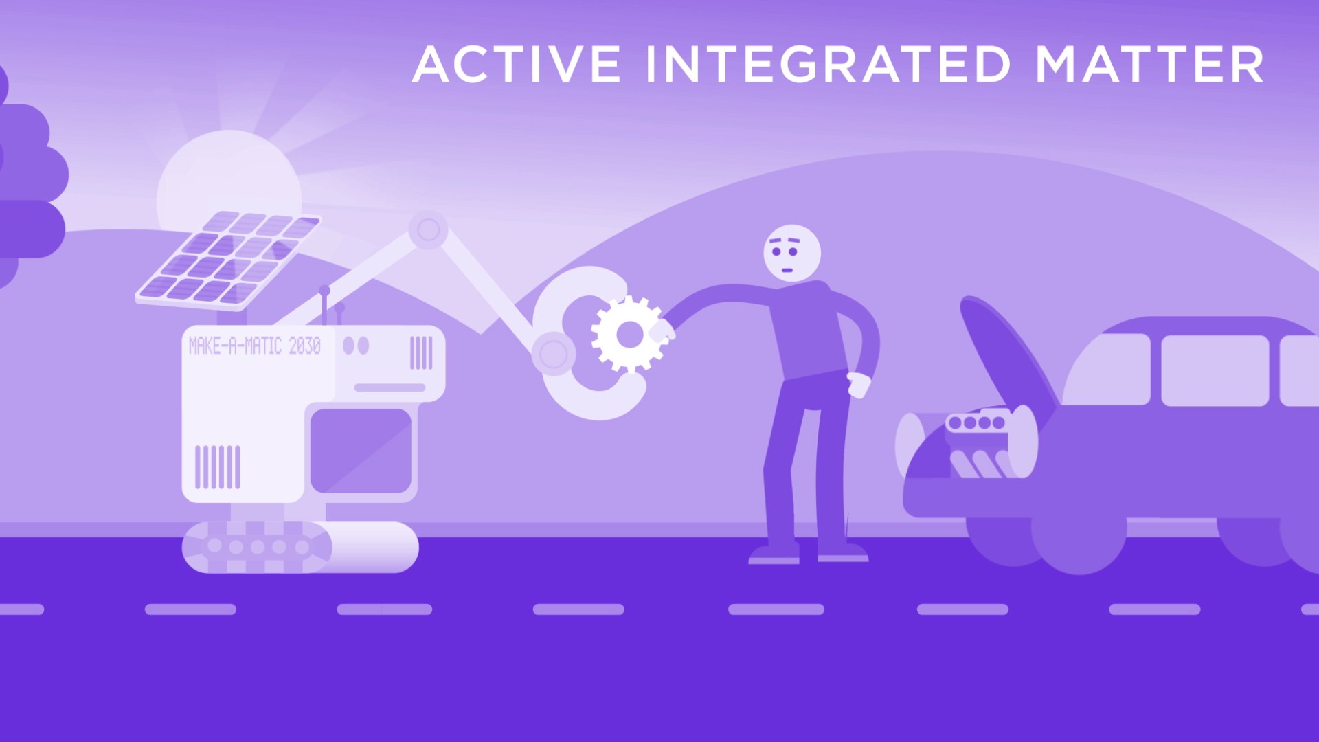
Active Integrated Matter
December 13, 2016
Researching the material things that interact with the digital world.

Hydrogen Energy Systems
August 21, 2018
CSIRO’s Hydrogen Energy Systems Future Science Platform is positioning Australia to play a major role in a global hydrogen economy.
Plant Systematics and Population Genetics
April 6, 2022
Plant Systematics and Population Genetics provides critical data to identify threats to Australia’s plant biodiversity.
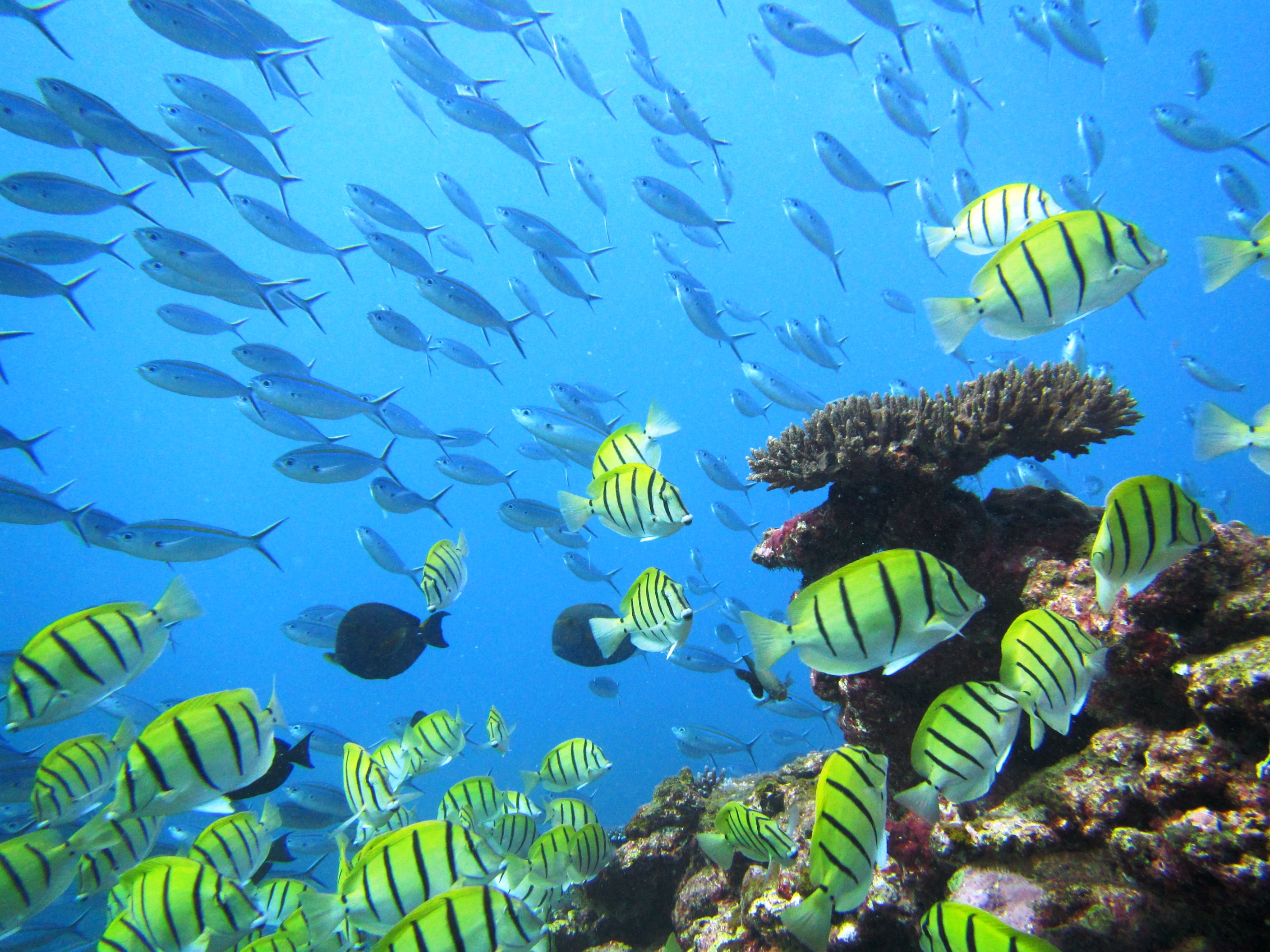
Ningaloo Outlook
February 15, 2016
BHP Billiton Petroleum and CSIRO have formed a strategic marine research partnership to increase the ecological understanding of the Ningaloo Coast World Heritage Area’s deep and shallow reefs and the reef’s shark and turtle populations.
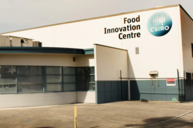
CSIRO’s food innovation centre
December 10, 2024
CSIRO’s food innovation centre for industry makes it easy for food, ingredient and equipment manufacturing companies to access our extensive expertise, technologies and support in innovation.

Social and Economic Long Term Monitoring Program
March 20, 2018
SELTMP is assisting Reef managers and other decision-makers within the Great Barrier Reef region to incorporate the human dimension into their planning and management.

CSIRO ASKAP Science Data Archive
May 19, 2020
The CSIRO ASKAP Science Data Archive (CASDA) is making data from Australia’s SKA Pathfinder (ASKAP) telescope available to the astronomical community.
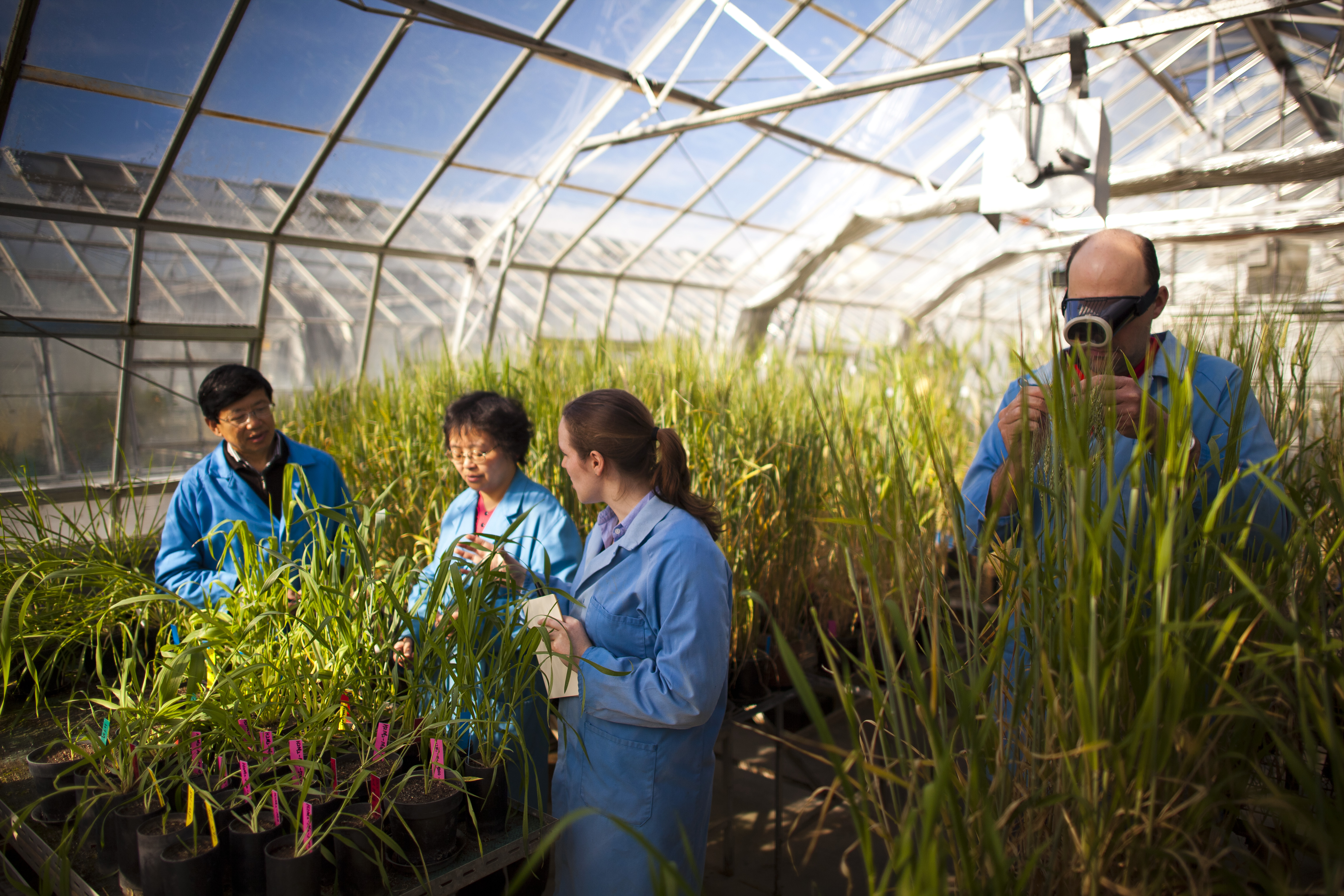
CSIRO Agriculture & Food Open Day
September 25, 2017
Inspiring the next generation of plant scientists.