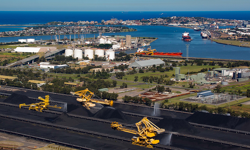
Local Voices – Port Waratah
August 13, 2018
Port Waratah Coal Services has partnered with CSIRO to conduct an ongoing analysis of community attitudes to the company’s operations. This gives communities neighbouring the operations an opportunity to express their views and experiences inside the company, helping to inform the company’s decision making.
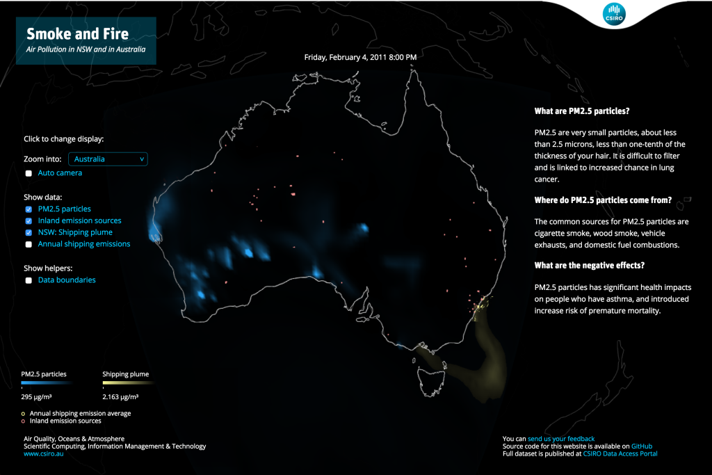
Air Quality
February 15, 2016
Smoke and Fire is an interactive visualisation of air pollution in Australia, particularly shipping plume along the east coast of New South Wales.
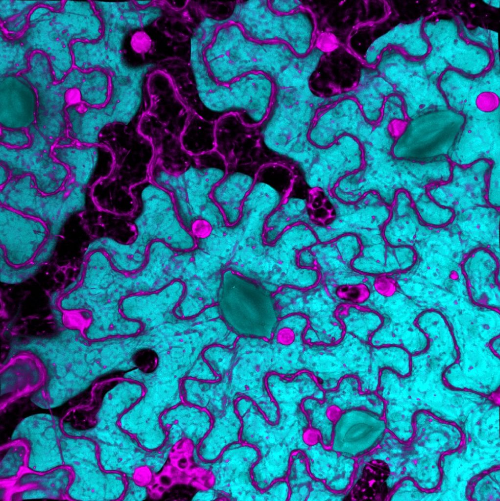
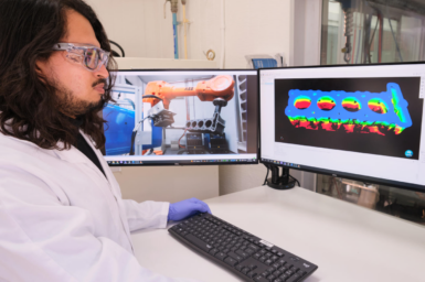
Black Mountain Micro Imaging Centre
November 25, 2020
With 100+ users we are CSIRO Agriculture & Food’s major MicroImaging centre. We engage in project ideation, training, mentoring, experimenting and publishing with a collaborative mindset.
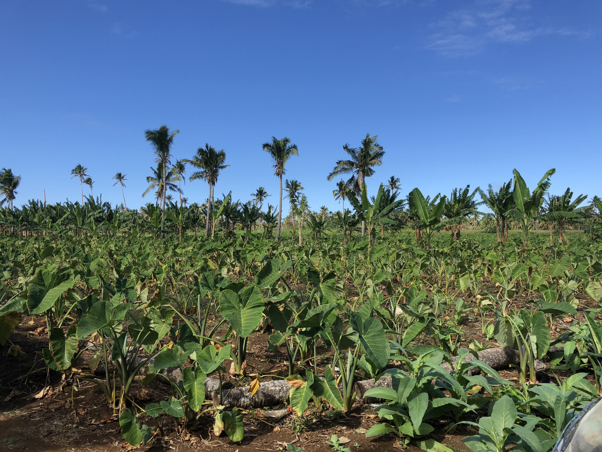
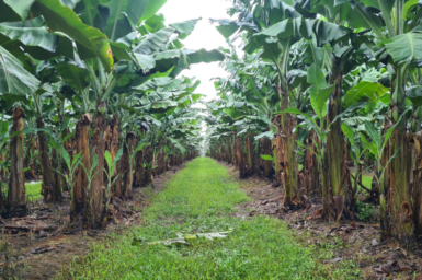
Pacific Soils Project
December 7, 2021
Soil management in Pacific Islands: Investigating nutrient cycling and development of the soils portal
Afghanistan National Water Information System development
July 16, 2020
Transforming water management through information provision.
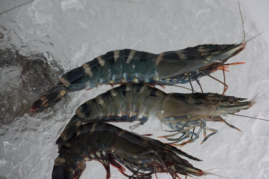
Extensive Prawn Farming in Northern Australia
September 16, 2021
Our vision is to strengthen and grow aquaculture development that supports Indigenous sustainable livelihoods.
Coastal Environmental Modelling
January 29, 2018
The Coastal Environmental Modelling Team delivers environmental intelligence for decision support tools.