Earth observation in the Pacific well on CSIRO’s “radar” – November 2019
In late November, members of the Centre led a CSIRO delegation to the Pacific GIS & Remote Sensing Council annual conference (PGRSC) in Suva, Fiji, as part of the activities of the Synthetic Aperture Radar (SAR) Science Initiative, a project funded under the CSIRO Space Technology Future Science Platform. Unlike optical satellites, SAR satellites can “see” through clouds meaning they are a valuable data source in cloudy regions like the Pacific, but so far the data has been under-utilised.

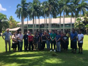
Participants at the SAR workshop
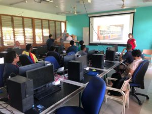
The team, which included radar experts (both land and water), shared current CSIRO activities in the use of SAR data from satellites such as NovaSAR-1 and Sentinel-1. They then ran a workshop on SAR data and applications as an in-country international outreach activity to promote the use of SAR EO data in the context of the UN Sustainable Development Goals (a CSIRO contribution to the CEOS team on SDGs).

Linking EO to the UN SDGs
The workshop was designed to improve participants’ understanding of the unique capabilities of SAR and the existing tools and datasets available to make the most of it. It was also an opportunity to discuss the types of applications that could benefit from the UK International Partnership Program funding call with Australia: “All-Weather Decision-Support Service for the Pacific”.

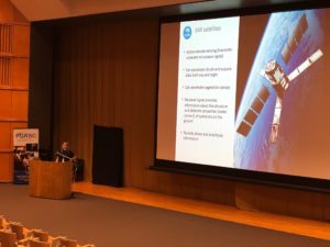
SAR satellites offer many benefits for the Pacific region
The CSIRO team was extremely pleased to see so much interest in SAR (the most popular topic with 20 participants from many Pacific island nations) on the last day of the conference. Attendees thoroughly enjoyed the event and are looking forward to following up with further training. In addition, the meeting was a valuable opportunity to strengthen and stimulate partnerships with many remote sensing experts from the region (including Fiji, New Caledonia, Samoa, and regional bodies like the Pacific Community SPC and SPREP).
Further collaboration with country or regional organisations to help promote SAR-based EO uptake in the region is definitely on CSIRO’s radar!
