Bushfire tracking with Sentinel Hotspots

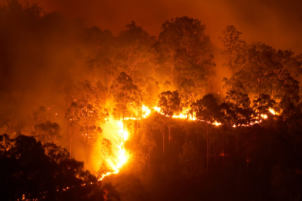
Sentinel Hotspots uses data from satellites to help detect and track bushfires in close to real-time. ©iStock
Sentinel Hotspots uses data from satellites to help detect and track bushfires in close to real-time. ©iStock
We developed a ‘hotspots’ platform for detecting and tracking bushfires using data from satellites to help fire-fighting agencies assess and manage risks on the ground.
Who was this designed for?
- Fire agencies
- state and federal governments
- local councils
- Natural Resource Management organisations
- researchers.
Challenges
Australia is one of the most fire-prone countries on earth. Bushfires cost Australia millions of dollars a year in lost infrastructure and productivity, and account for injuries and deaths to humans, livestock and our unique flora and fauna.
To manage risks and respond, fire-fighting agencies require up-to-date, location-specific detailed information about fire conditions across the continent.
In 2004, the Australian Institute of Criminology estimated that between 1967 and 1999, bushfires in Australia resulted in:
- 223 deaths and 4,185 injuries, at a total cost of $654 million
- 23 bushfires where the insurance cost was greater than $10 million; the total cost of these bushfires is estimated to have been more than $2.5 billion, a figure that does not necessarily include forestry losses.
What we did
We worked with the Department of Defence and Geoscience Australia to develop Sentinel Hotspots, a web-based platform that enables users to identify the locations and progression of hotspots close to real-time.
We:
• ascertained which satellites could provide detection of fire ‘hotspots’ via thermal infra-red data
• secured rapid access to NASA and other satellite data streams through Australian ground stations
• built the data processing algorithms and a customised interface for users to be able to identify locations and progression of ‘hotspots’ – on the land surface that are noticeably warmer than the surrounding area.
Outcome
Launched in 2003 and now hosted by Geoscience Australia, Sentinel Hotspots provides continent-wide, daily, consistent, accessible and actionable data to agencies and others monitoring fire risk.
This work revolutionised the display of fire information and our understanding of risk. Hotspots do not always indicate a fire, but provides accurate situational awareness about the locations and direction of possible fires and fire risk.
National and international impact
Fire agencies have been able to implement far more effective pre-planning efforts, such as back-burns and fire breaks, as well as establish on-ground monitoring and warning systems. Having the detection and early-warning capability of Sentinel increases the chances that more properties, livelihoods and lives can be saved.
Why CSIRO?
CSIRO has a long history in environmental research and monitoring, and using all forms of earth observation data and infrastructure. This science expertise combined with the collaborative culture and connection to all parts of society: governments, business and industry, non-government and education organisations, meant CSIRO was well-placed to deliver this solution for fire-fighting agencies.
Partners
Australian agencies including the CSIRO, the Department of Defence and Geoscience Australia.
