3D laser scan data of the Murtoa Stick Shed (also known as the 'Murtoa Grain Store', 'Marmalake/Murtoa Grain Store', or […]
3D laser scan data of Royal Exhibition Building, Melbourne, Victoria, Australia. Data were acquired using the Zebedee 3D Mapping System, […]
Stereo vision recording of suburban environment for curb detection performance assessment. The data is recorded in the rosbag format and […]
This collection of data includes two main datasets of 3D point cloud and trajectory data. The first dataset was collected […]
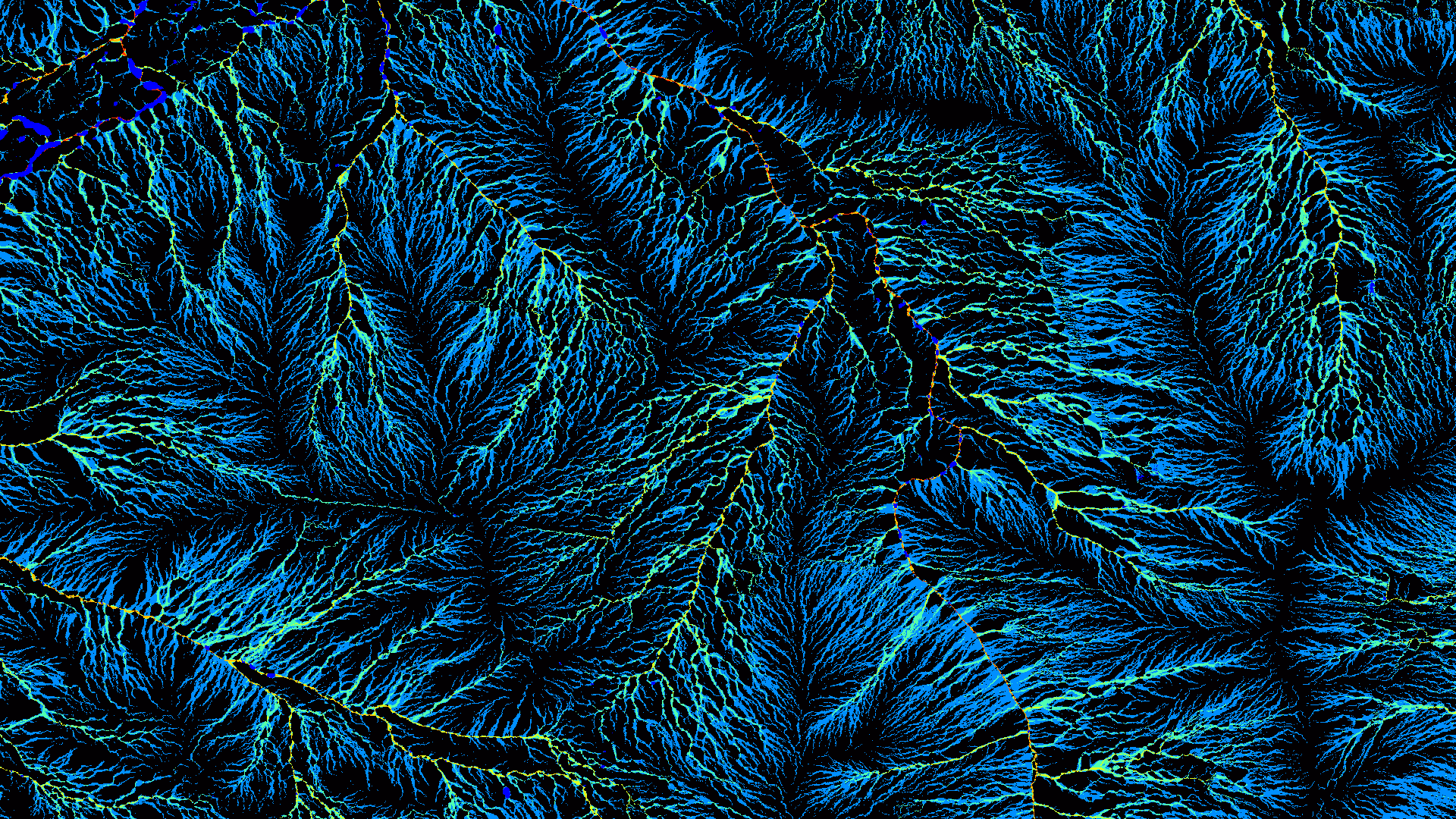
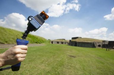
Zebedee is a handheld 3D mapping system, which consists of a lightweight laser scanner with 15–30m maximum range (dependent on […]
With funding from the Australian coal industry's research program ACARP, CSIRO is collaborating with the Cooperative Research Centre for Mining, […]
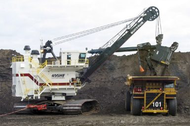
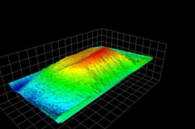
CSIRO has developed a system called Trayscan to measure the in-situ volume of material contained within the tray of moving […]