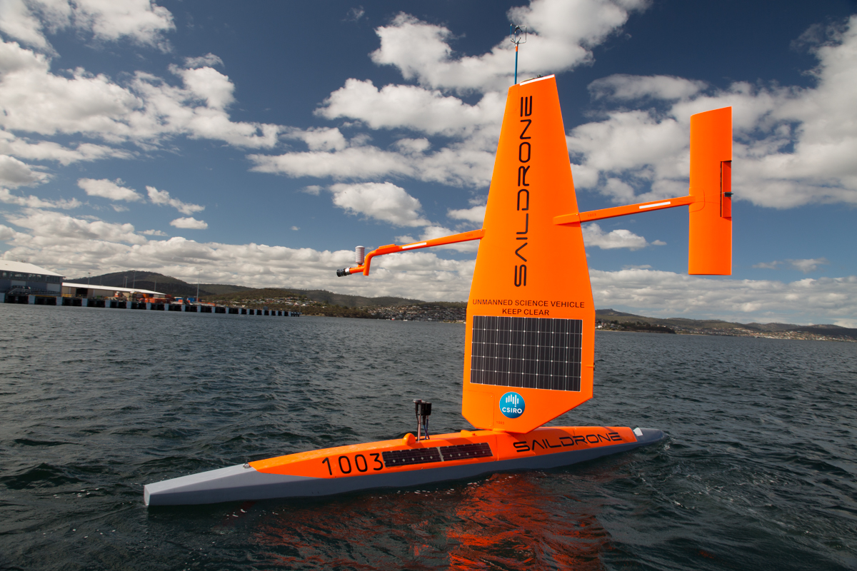
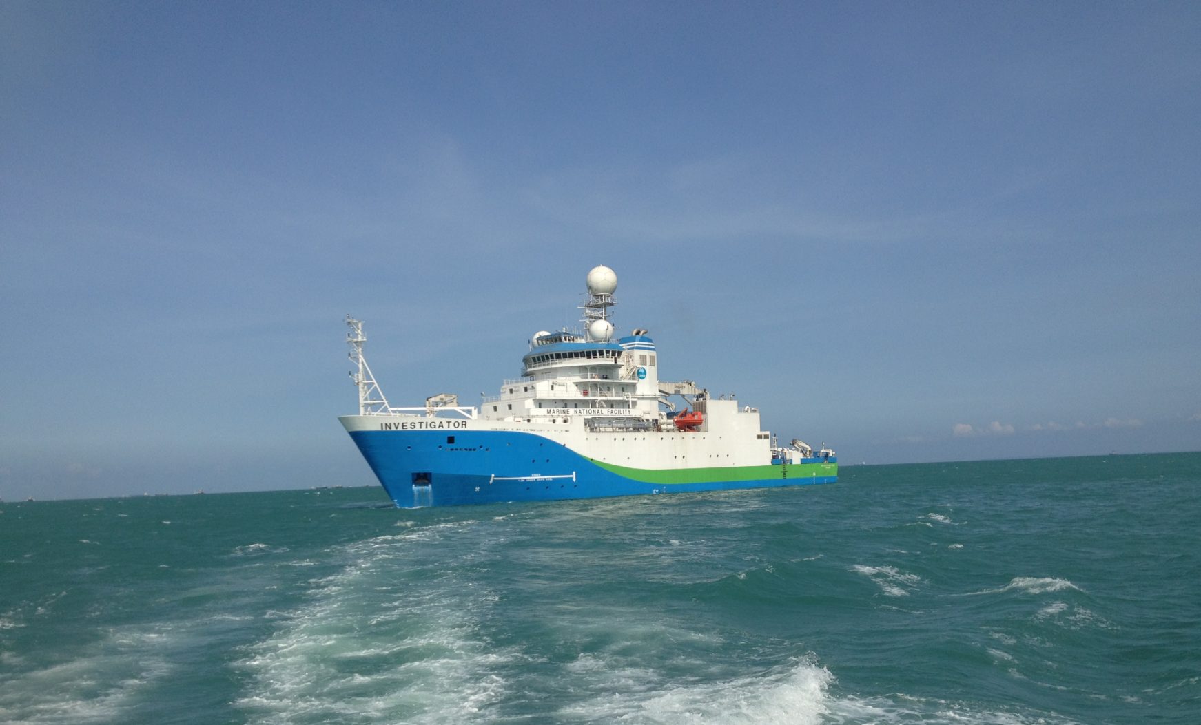
Saildrone
July 18, 2018
CSIRO are testing state-of-the-art unmanned surface vehicles (USVs) to study our oceans and climate. A first in Australian waters.
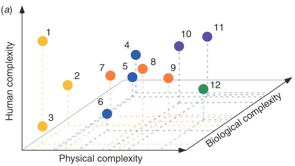
Models of Intermediate Complexity for Ecosystem Assessment (MICE)
June 26, 2018
CSIRO O&A funded the development of MICE – “Models of Intermediate Complexity for Ecosystem assessments” to complement the ecosystem modelling toolbox needed to support tactical management decisions in fisheries and conservation.
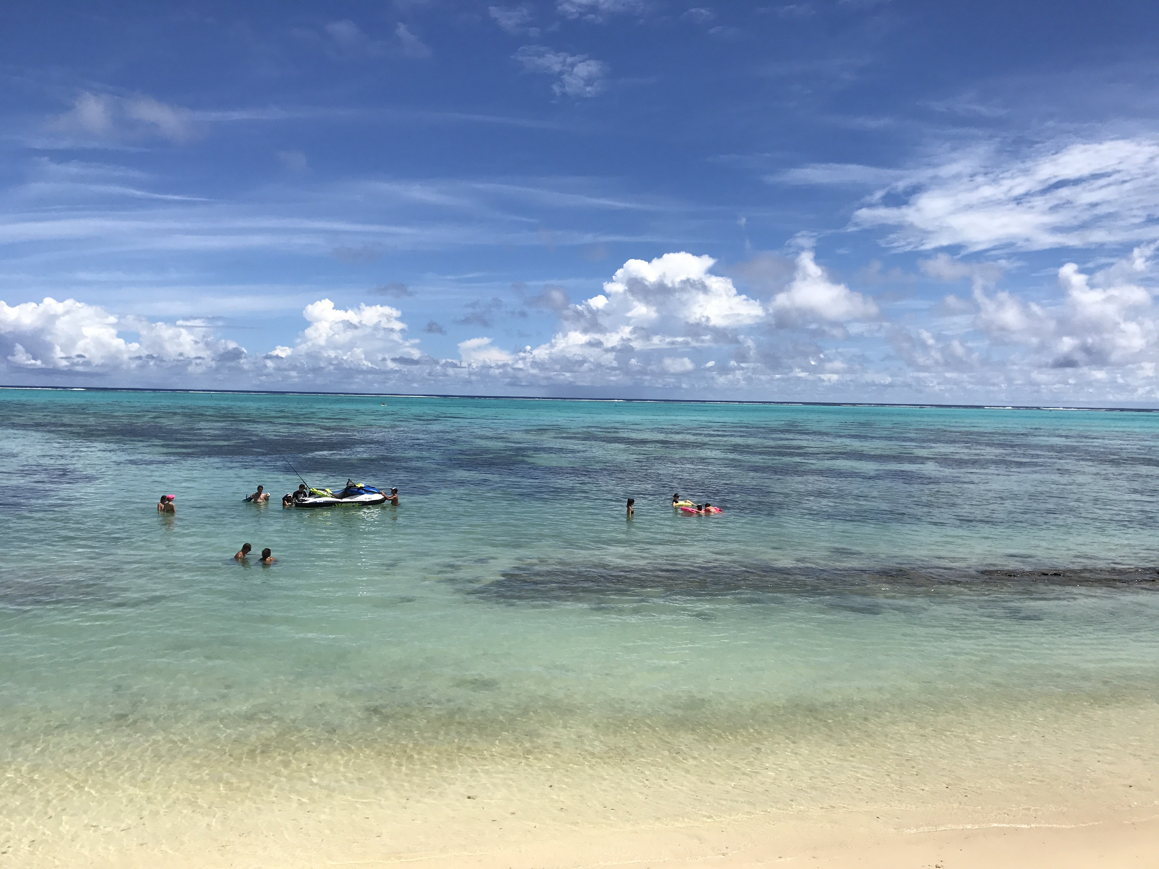
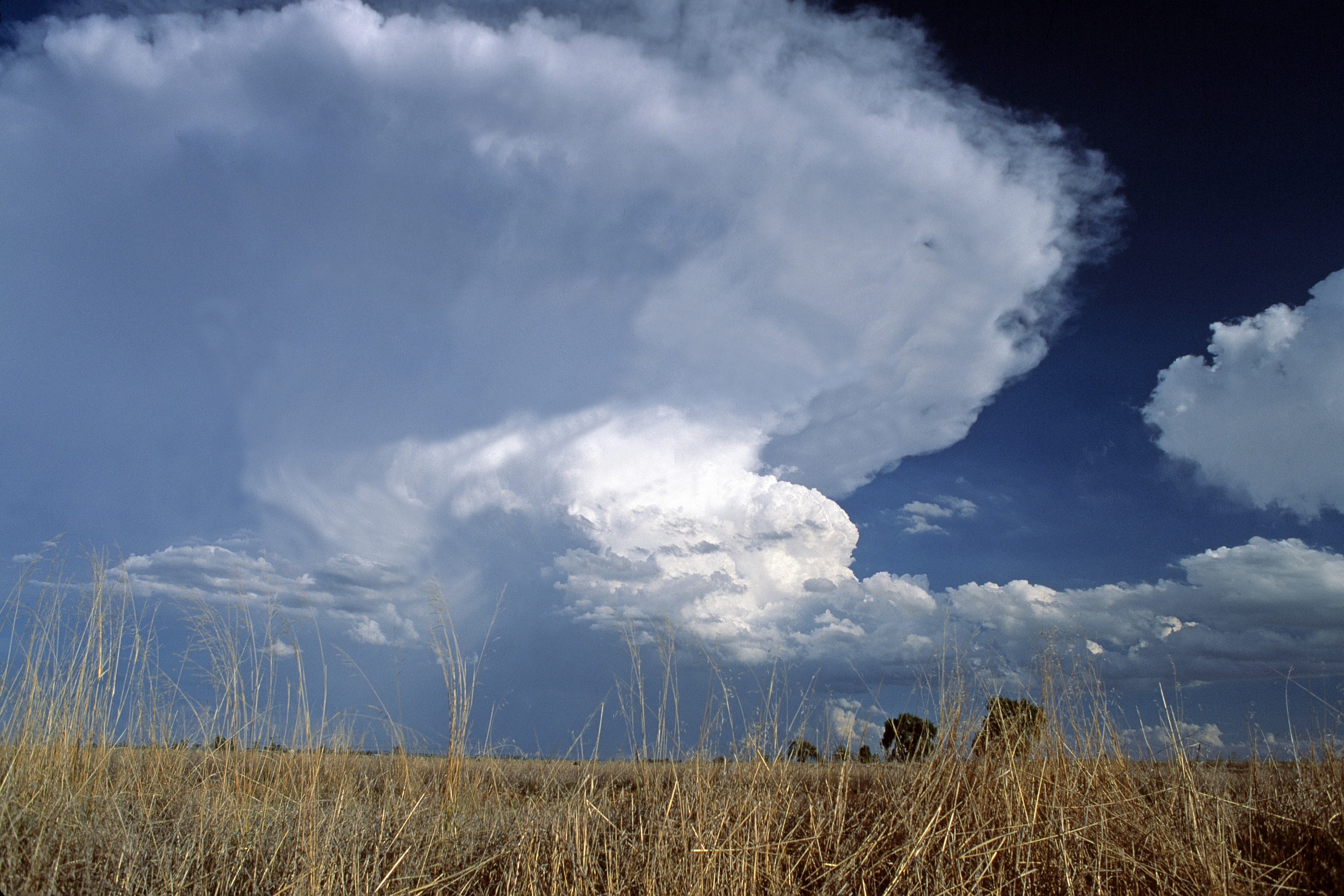
Sea Level, Waves and Coastal Extremes
February 13, 2018
We conduct research to understand how our coastal marine environment has changed and will change in the future to identify risks and opportunities for the sustainable use of the coastal environment.
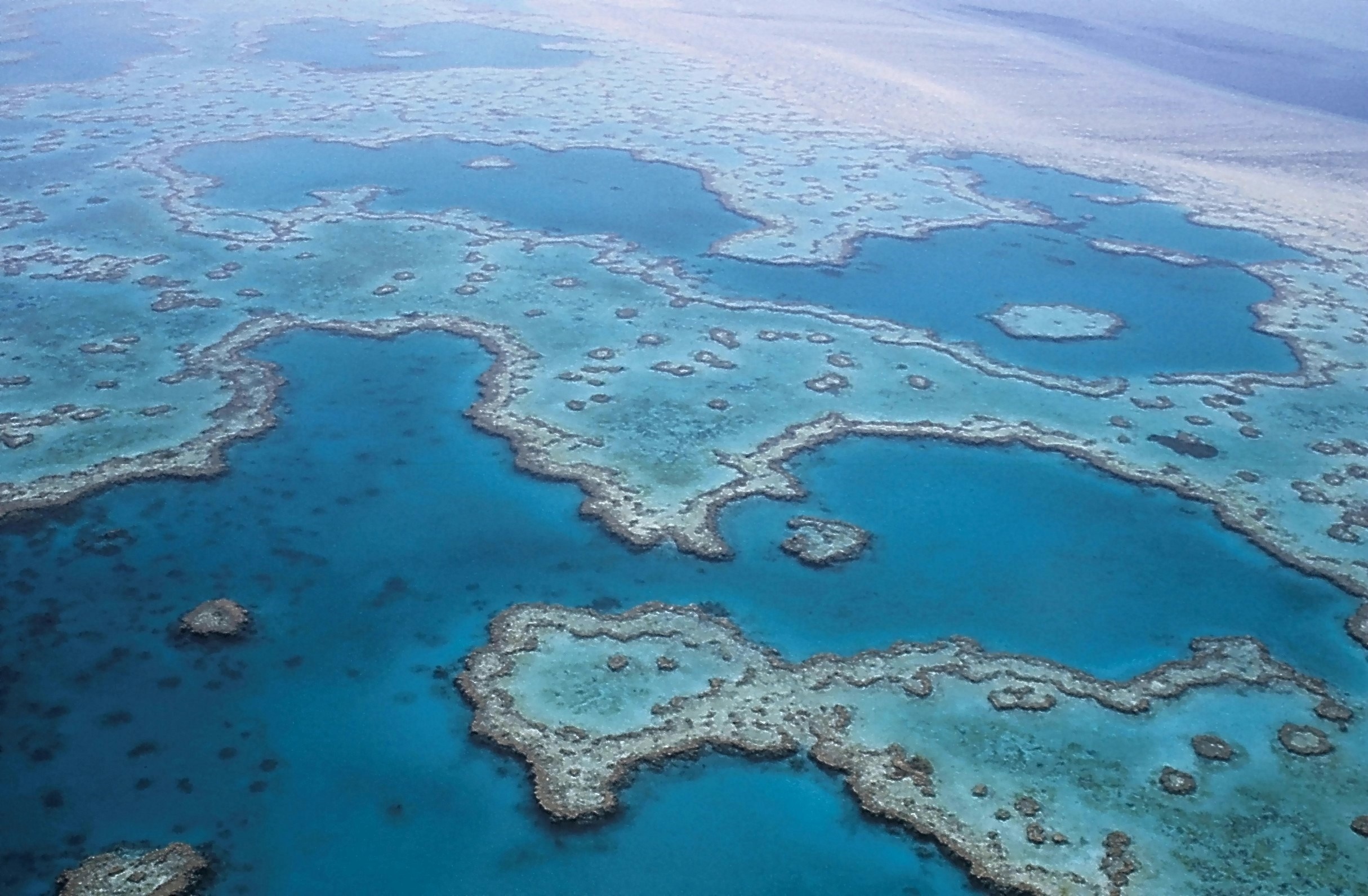
Coastal Environmental Modelling
January 29, 2018
The Coastal Environmental Modelling Team delivers environmental intelligence for decision support tools.
Decadal Forecasting Project
March 7, 2017
Research and development to deliver multi-year climate forecasts for Australia.
Oceans & Atmosphere Information and Data Centre
December 15, 2016
A central assembly and management point for much of the Division’s vessel-collected data from over the past 25 years, plus related datasets such as those collected via moored instrument arrays in the Australasian region

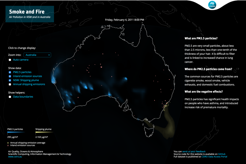
Air Quality
February 15, 2016
Smoke and Fire is an interactive visualisation of air pollution in Australia, particularly shipping plume along the east coast of New South Wales.
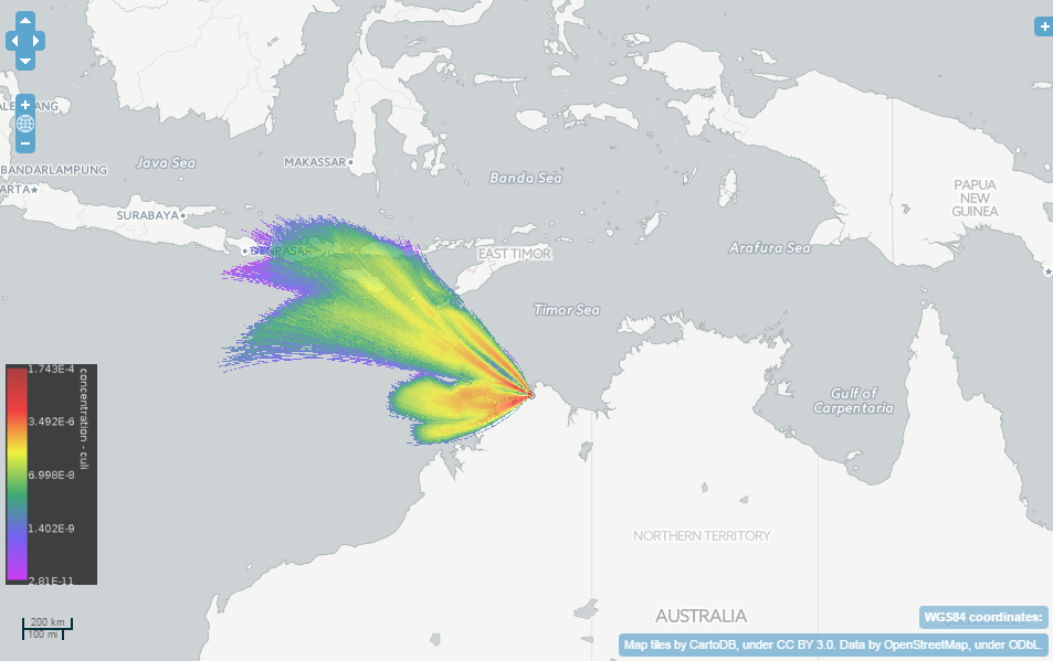
TAPPAS
February 15, 2016
Tool for Assessing Pest and Pathogen Aerial Spread – is an online software tool for modelling the dispersal of living organisms.