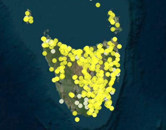
Risk Lab Australia
September 27, 2016
RiskLab at CSIRO’s Data61 provides the avenue for industry to engage directly with the extended network of technologists and academia to come up with innovative solutions and tools in quantitative risk and decisions-under uncertainty.
Distributed Sensing Systems
September 15, 2016
Sustainable data acquisition from wireless sensors distributed over large spatial scales.
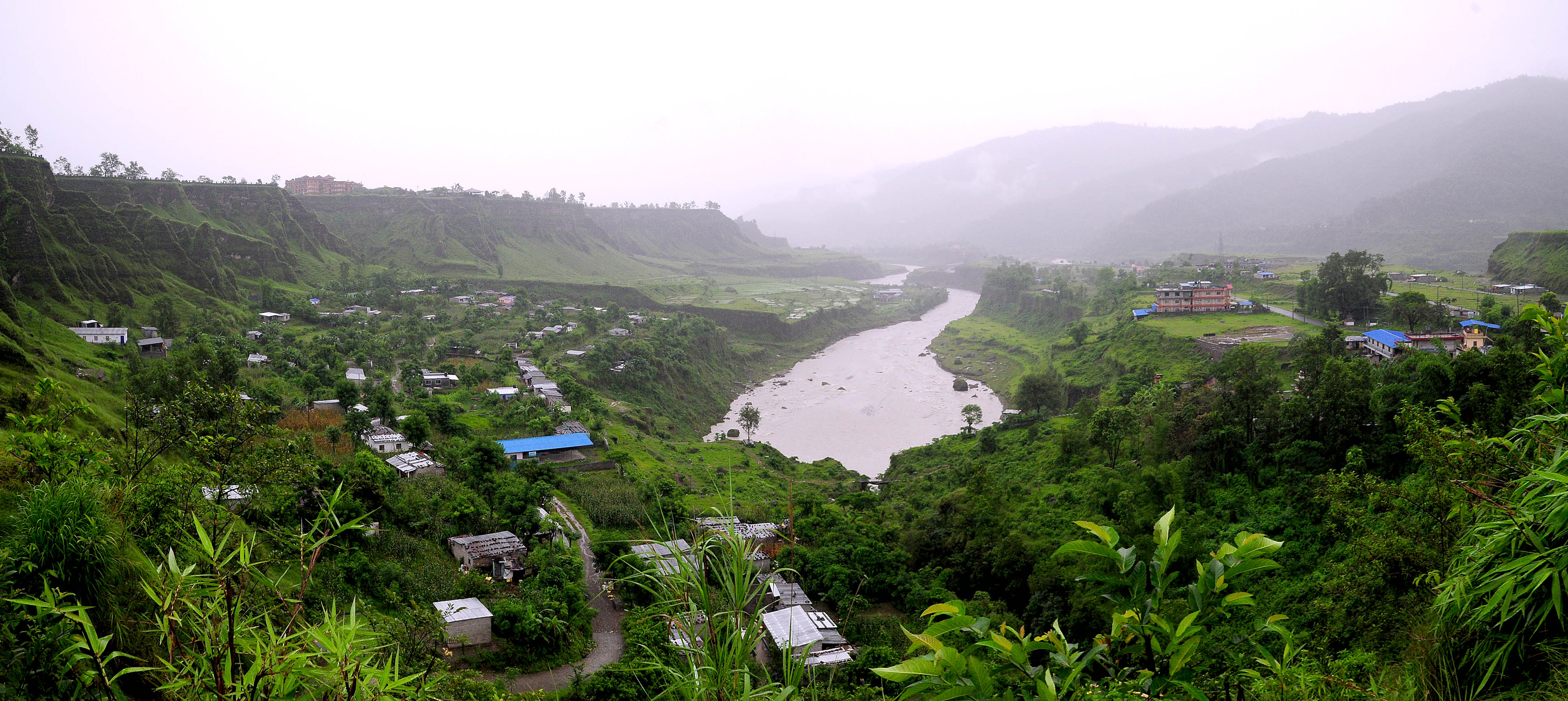
South Asia SDIP
September 5, 2016
Explore CSIRO’s work on hydrology, climate, gender, livelihoods and ecology across South Asia.

Swift
September 5, 2016
A shallow water based integrated flood tool for urban flood inundation and adaptation.

Robotics and Autonomous Systems
September 5, 2016
The Robotics and Autonomous Systems Group at CSIRO is one of the leading robotics research groups in the world.
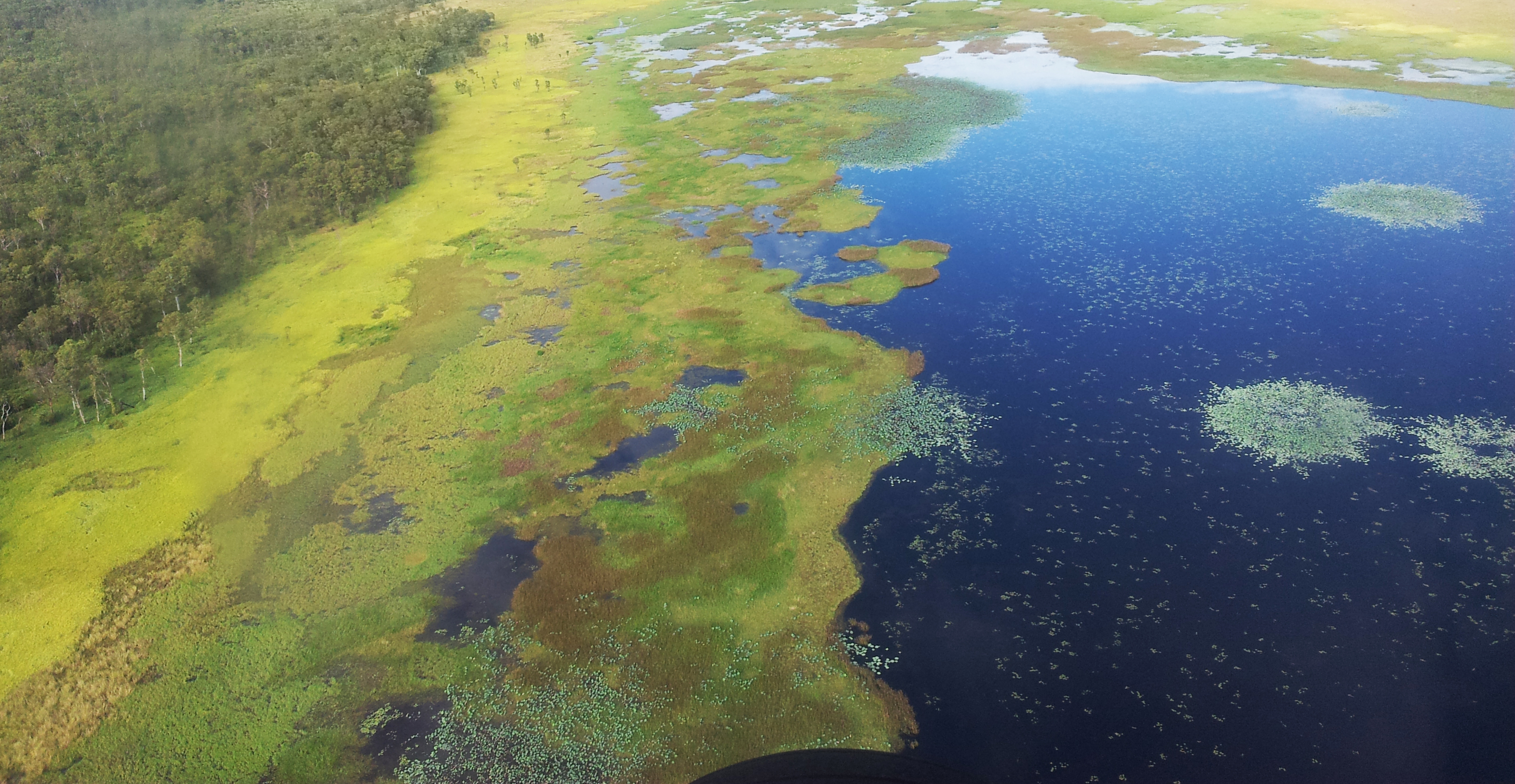
NPF Northern Water Developments
August 25, 2016
Proposed northern Australia water developments pertinent to the NPF: collation and review.

Molecular & Materials Modelling
August 22, 2016
Enabling the next generation of computational research in the chemical, physical and materials sciences.

Mapping Queensland’s Coastal Fishing Resources
August 18, 2016
The MQCFR project has captured and made accessible current shapefile information on spatial and temporal management within Queensland marine and estuarine waters.
Data61 Projects and Tools
July 29, 2016
We’re Australia’s leading digital research network, helping our partners across business, government and industry solve real problems every day. Our projects cover a wide range of data-centric R&D.