Darwin Living Lab
November 29, 2018
The CSIRO-led Darwin Living Lab will test new heat mitigation measures and inform tropical urban design for future Darwin.
Environmental Informatics
April 10, 2018
Developing tools and methods that deliver data and information for understanding and managing our environmental resources.
Anameka Saltbush
April 4, 2025
CSIRO’s Drought Resilience project is driving wider adoption of Anameka Saltbush in drought-prone regions across Australia.
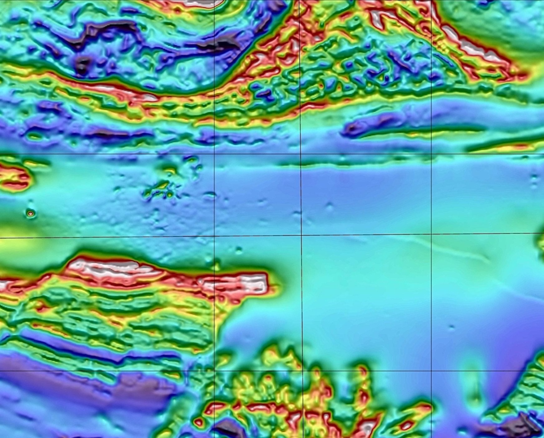
Deep Earth Imaging
February 23, 2018
Next Generation Exploration for Minerals, Energy and Groundwater.
Australian Community Climate and Earth System Simulator (ACCESS)
August 21, 2019
ACCESS is a family of related models, configured for specific applications, to meet operational and research needs from weather forecasting to climate projections.
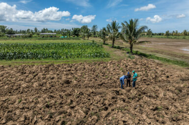
Pacific Climate-resilient Agriculture
April 12, 2024
Improving soil and food security for climate-vulnerable communities in the Pacific
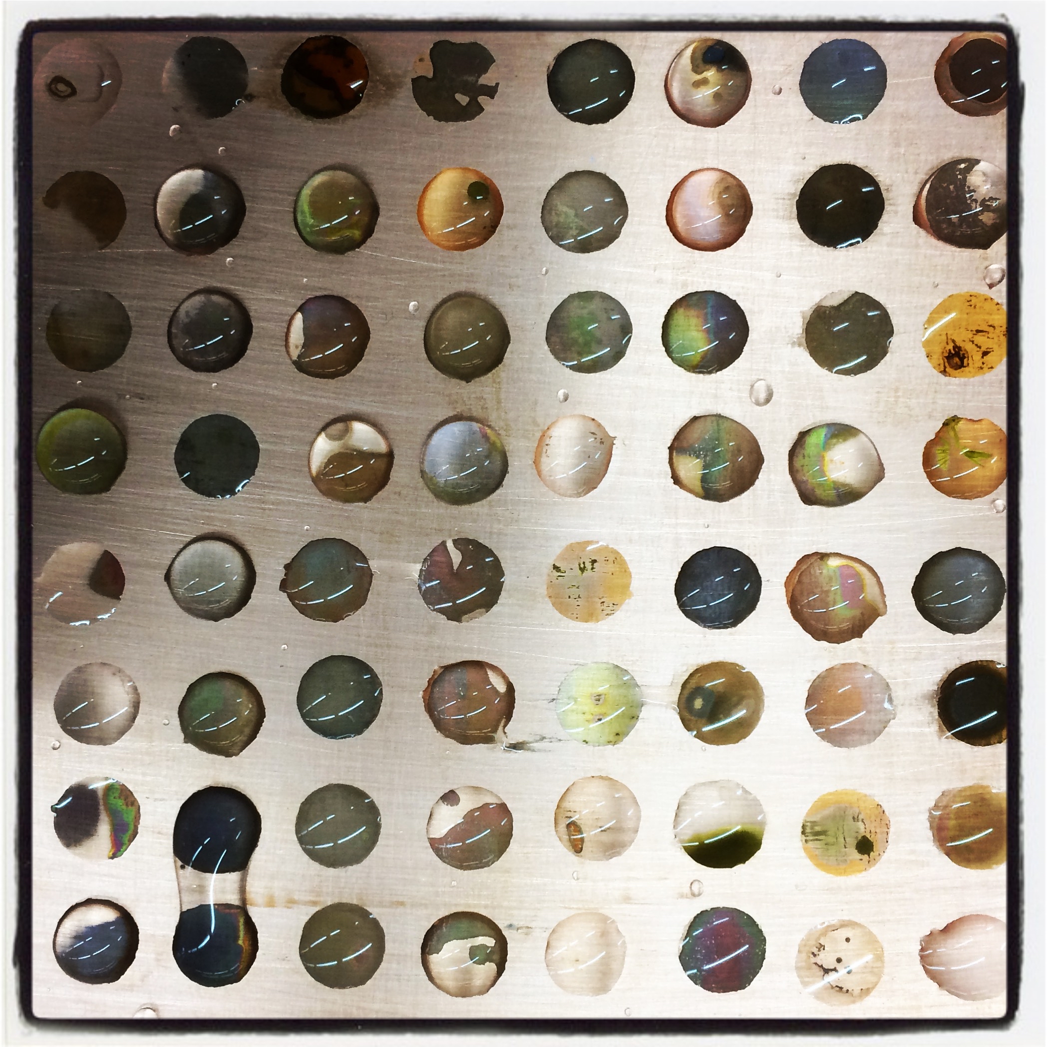
Corrosion
May 13, 2019
CSIRO has over 20 years of experience with the evaluation of corrosion systems and processes, and in the development of novel corrosion inhibitors.
Host Response Team
September 6, 2021
Studying host-pathogen interactions to develop novel diagnostic and therapeutic strategies