
Cognitive Informatics
February 15, 2016
We model human decision processes using methods of symbolic representation and reasoning-based processes, and optimize human-machine interaction based upon characterisation and measurement of cognitive performance.

Inclusive Value Chains
November 27, 2019
We seek to create an environment for smallholder farmers where they can participate and benefit from value chains in a way that meets their objectives and needs. To start this journey, we are supporting capacity development for agribusiness-led inclusive value chains in the Philippines.
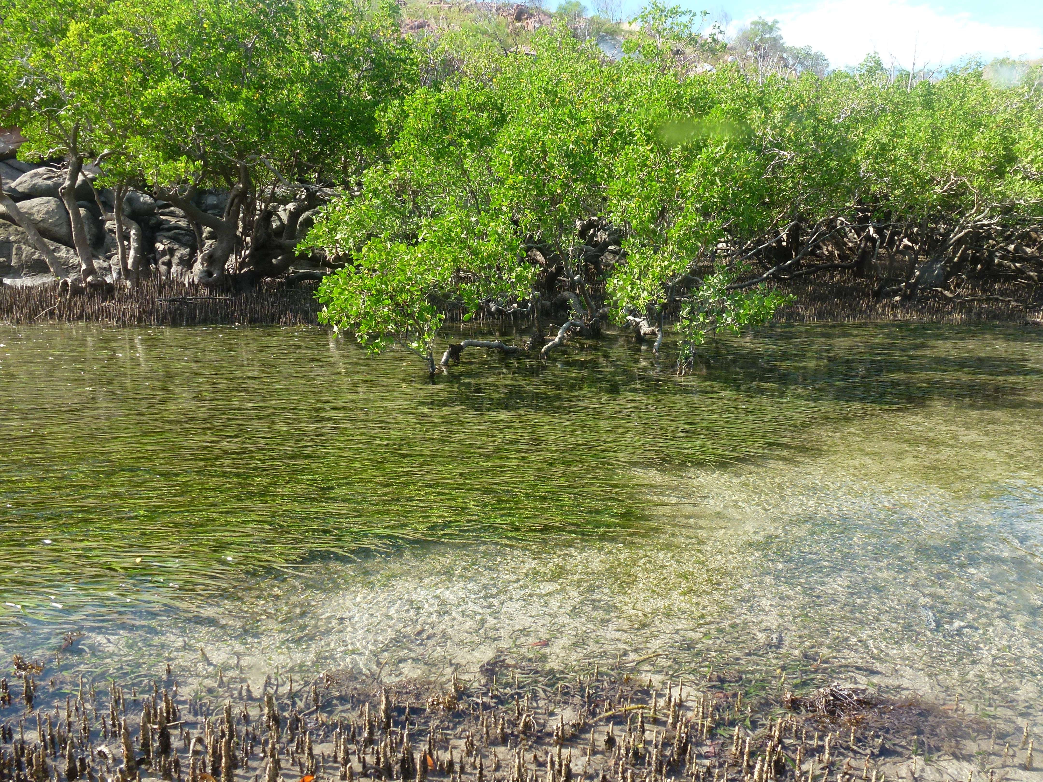
IORA Blue Carbon Hub
August 21, 2019
The Hub aims to build knowledge about and capacity in protecting and restoring blue carbon ecosystems throughout the Indian Ocean, in a way that enhances livelihoods, reduces risks from natural disasters, and helps mitigate climate change.

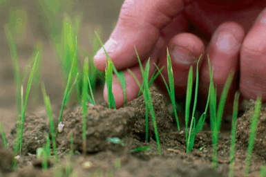
Canola Allies
June 13, 2024
This project will research the impact of beneficial species on canola pests, and determine ways to enhance their activities in landscapes and in fields. The 5-year project will develop tailored integrated solutions for our Australian beneficial arthropod biodiversity.

Pyropage
November 15, 2016
A repository of CSIRO’s PyroPage bulletins, a bushfire science communication tool intended to provide bushfire practitioners with a rapid summary of critical new research results from CSIRO’s Bushfire Behaviour and Risks team.

Environmental Informatics
April 10, 2018
Developing tools and methods that deliver data and information for understanding and managing our environmental resources.
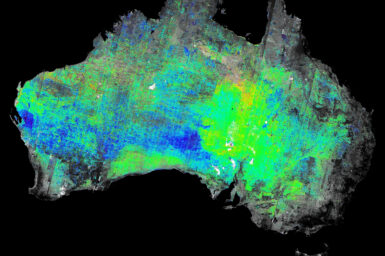
Earth Observation Applications for the Mineral Resources Sector
March 23, 2023
Earth Observation Information (EOI) is an essential component of the tool kit used by CSIRO Mineral Resources’ Discovery Program to address key challenges of the mineral resources sector.
Enabling Transformative Change Through Systems Learning
September 10, 2025
Build change-making capacity through hands-on learning and step-by-step action toward more sustainable, healthy, nutritious, and equitable food systems.
Filament Fabrication Technology Center
May 23, 2024
Developing next generation polymer and composite filaments and nanofibres.