Satellite Cal/Val
Earth observation satellite calibration and validation – or cal/val – is similar to quality control on a production line. Sensor calibration provides routine checks on sensor performance and allows us to trace satellite sensor data to physical standards. Product validation verifies the algorithms and models used to derive parameters and produce data products from Earth observation imagery.
Over four decades, CSIRO has developed expertise, practices, guidelines and standards to calibrate sensors and validate data products. Our cal/val activities ensure the accuracy, integrity and traceability of Earth observation data. They also provide an essential service to our international partners, who operate the EO satellites on which we rely. This underpins our engagement in international missions and supports ongoing EO data supply for Australia.
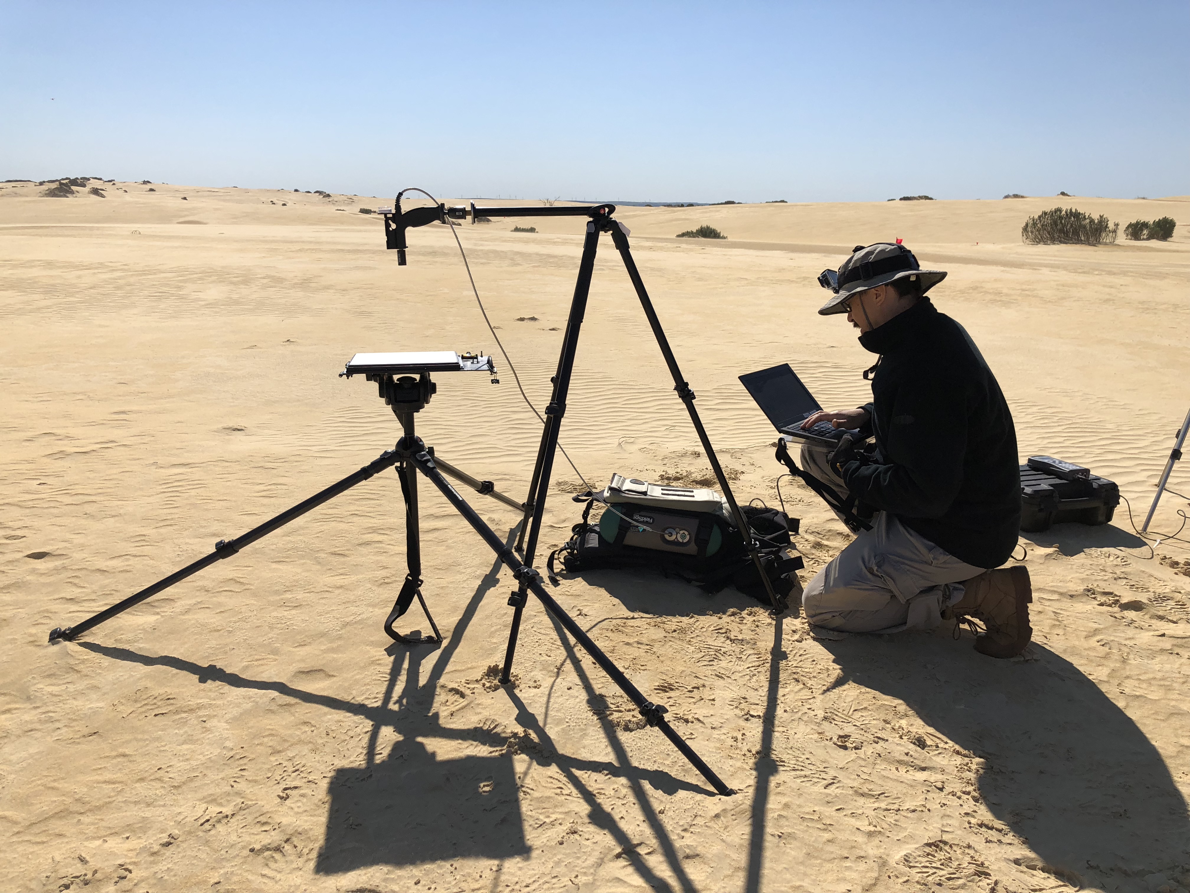
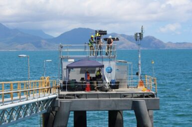
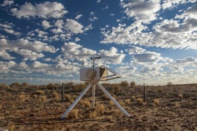
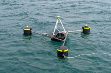
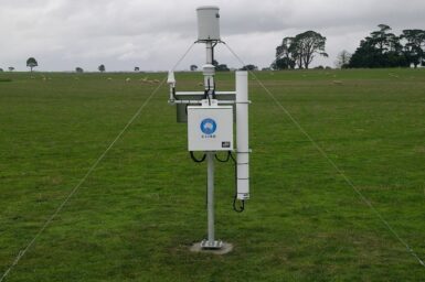
We operate terrestrial and aquatic vicarious calibration infrastructure and conduct field campaigns. The Pinnacles Desert Optical Vicarious Calibration Site (PIAU) is a key cal/val research site supported by the Centre for Earth Observation for optical sensors, with a focus on the next generation of optical and thermal infrared operational and science missions.
We are currently strengthening our calibration capabilities to be able to deliver robust, operational streams of data from sites like PIAU as part of Australia’s contributions to the upcoming US Landsat Next mission.
We are also validating products from a new generation of Earth observation missions, including using UAV-mounted LiDAR to validate biomass estimations from missions such as ESA’s BIOMASS (launched in April 2025). At PIAU, we are conducting research on cal/val for science missions and future thermal infrared sensors.
Australian capabilities in Earth observation cal/val are widely regarded as some of the best in the world. We are working to unify the national community of cal/val practitioners and cal/val data sources to enable world leading Earth observation satellite data quality assurance from Australia through our AusCalVal initiative.