Capacity Share
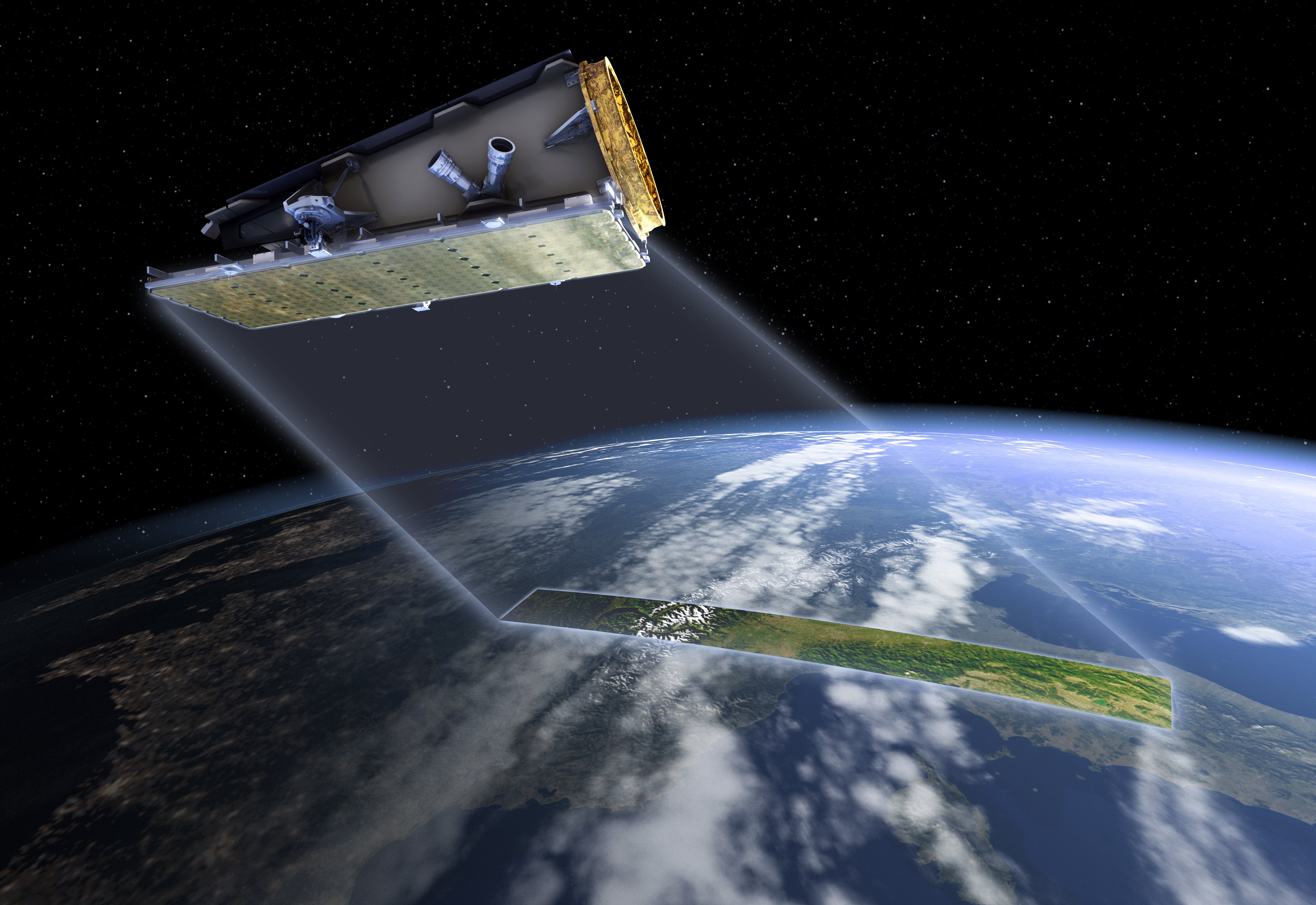
CSIRO have secured a 10% capacity share of the tasking and acquisition time on the NovaSAR-1 satellite. Under the terms of this agreement, CSIRO has the right to direct the satellite’s activity, download data, process data, and make these data available to the wider research community. This provides opportunities to develop new Earth Observation (EO) data applications, develop training in the use of SAR, and explore new market opportunities in the use of SAR data and analysis. Open access to the data will stimulate joint operations and research between national and international institutions and will also benefit international disaster response.
CSIRO is one of five partners in the NovaSAR-1 mission. The following organisations also have access to a percentage capacity share:

Satellite Applications Catapult
- Catapult are operating the UK share on behalf of the UKSA
Indian Space Research Organisation (ISRO)
- ISRO are responsible for the capacity share for India

DOST-ASTI
- DOST-ASTI controls the Philippines portion of NovaSAR-1
Space-Eyes
- Space-Eyes are a commercial company operating from the United States
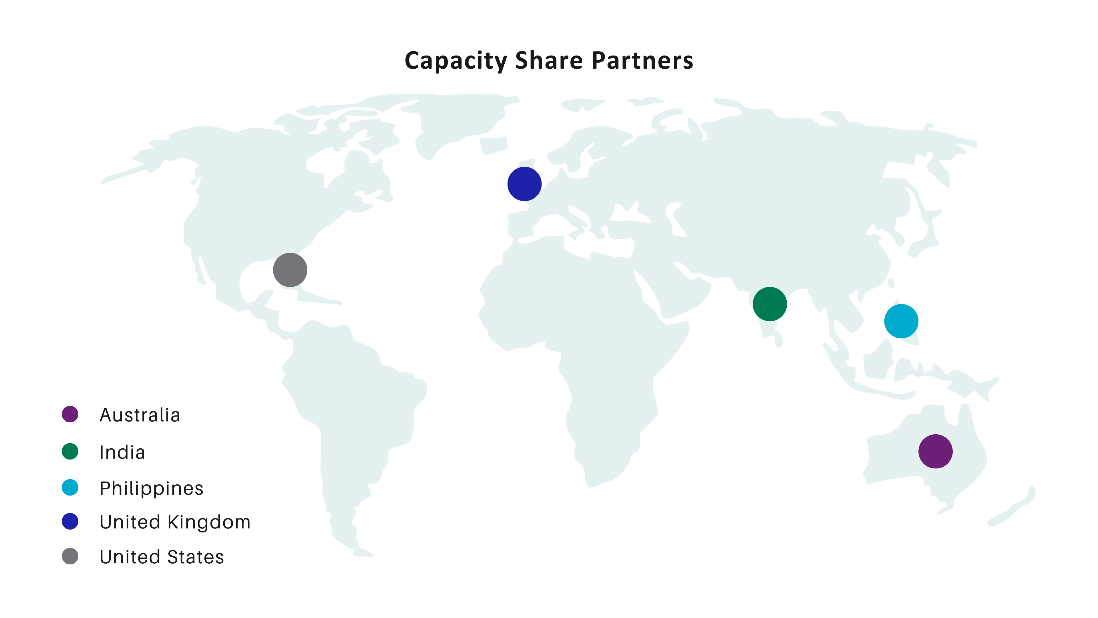
NovaSAR-1 Capacity Share Partners Map
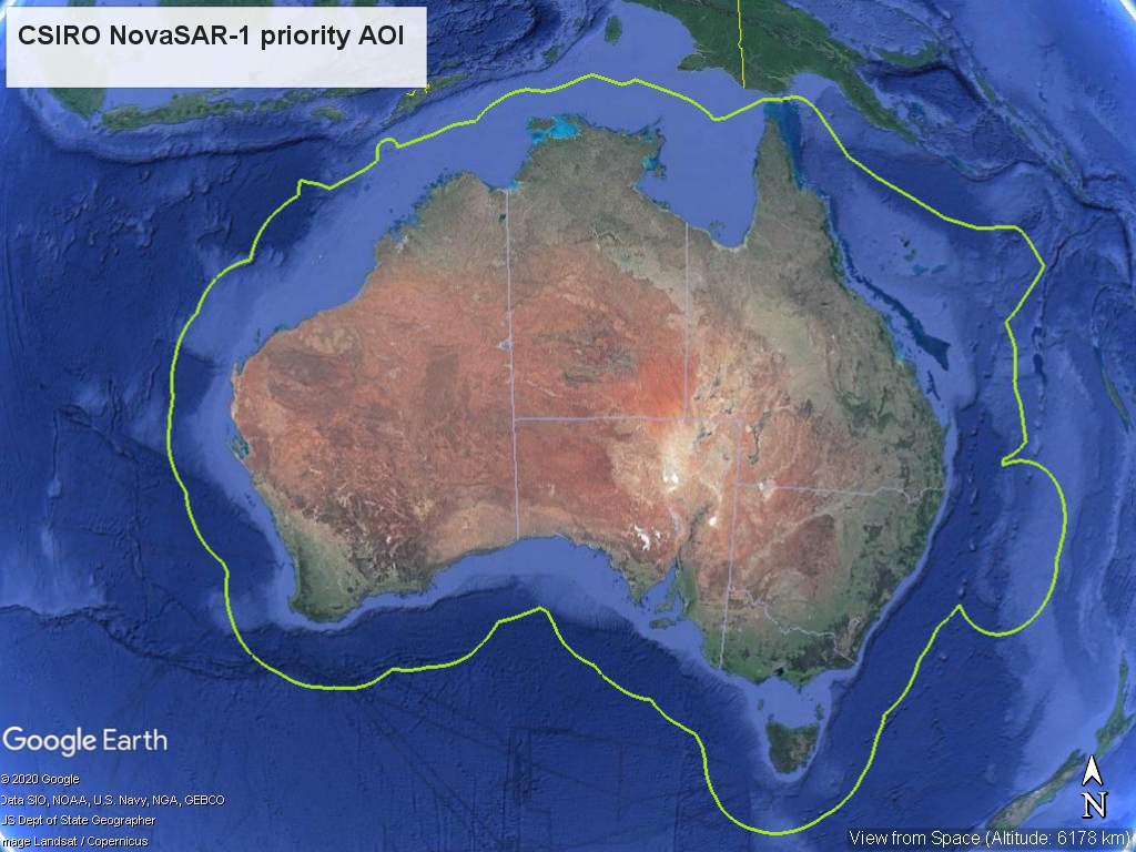
Australian priority area of interest (AOI)
CSIRO can request NovaSAR-1 imagery from anywhere in the world but has priority to request images over Australia. Other mission partners may request images over our region, but CSIRO’s requests will be prioritised. Similarly, some other partners have priority over their own regions (India, the Philippines and the UK) and in these locations, their requests will take priority over other partners’ requests. If you have an interest in imagery from these areas please contact the respective mission partner directly.
Australia’s NovaSAR-1 Mission Plan
CSIRO will co-ordinate and prioritize data acquisition requests and mission planning to:
- Support national emergency data needs (e.g. disasters like fires and floods; maritime security)
- Support R&D projects for the research community (including universities, government and strategic partners)
- Provide background acquisitions for Australia-wide wall-to-wall mapping (when not obtaining images to fulfil user requests or facilitate CSIRO research, the remaining capacity will be used to produce mapping over the whole of Australia. This will build up an extensive baseline archive of multi-temporal imagery)