NovaSAR-1 National Mosaic available
We have produced a National NovaSAR-1 Mosaic that can be explored in our Earth Analytics Science and Innovation (EASI) portal.
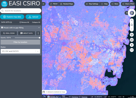
The NovaSAR-1 Australia National Mosaic is an amalgamation of 349 NovaSAR-1 S-band radar images acquired between 2020 and 2023 in 35m resolution, tri-polarisation mode (HH, VV, HV) from descending-pass orbits. Having images from the same orbit direction removes differences caused by the viewing parameters.
The mosaic is available in several layers:
For the false colour composite layers, HH is red, HV is green, and VV is blue. This means white and purple show built-up areas, green is vegetated areas, and black is water or flat surfaces such as runways etc. The difference in white or purple for built-up areas is due to the buildings’ orientation to the satellite flight path and/or line of sight.
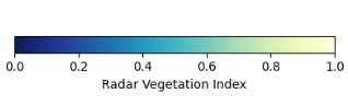
The Radar Vegetation Index (RVI) is the ratio of cross-polarized backscatter to the total backscatter from all polarizations. The values range between 0 and 1. RVI values near 0 indicate barren landscapes, and larger values indicate vegetated landscapes.
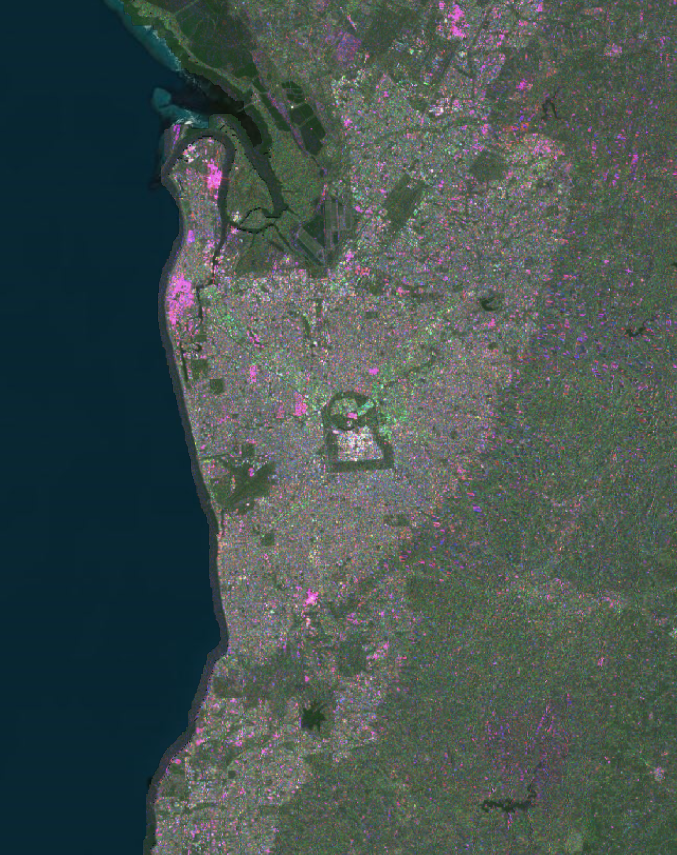
Adelaide shown from the NovaSAR-1 National Mosaic in EASI using the HH-HV-VV Linear style 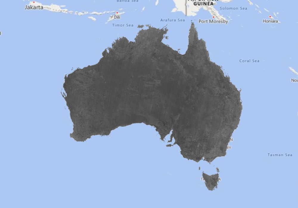
Australia shown from the NovaSAR-1 National Mosaic in EASI using the HV style 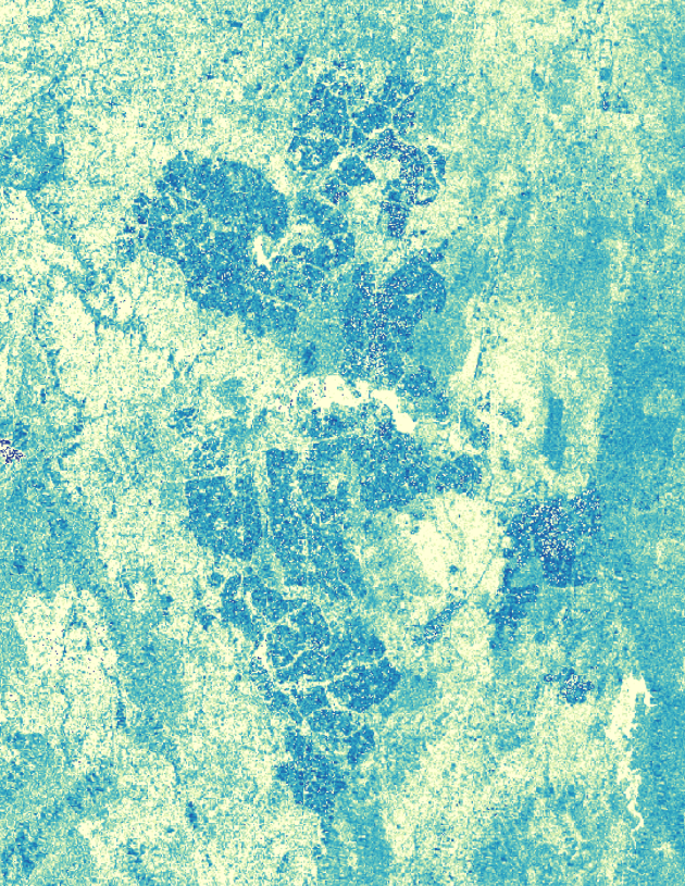
Canberra shown from the NovaSAR-1 National Mosaic in EASI using the Radar Vegetation Index style 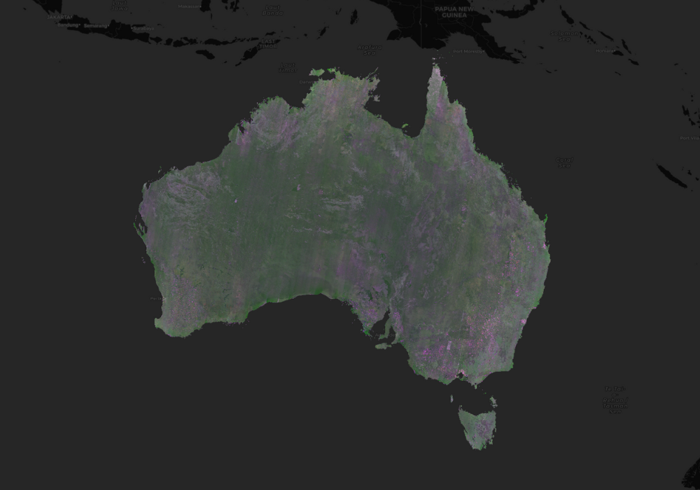
Australia shown from the NovaSAR-1 National Mosaic in EASI using the HH-HV-VV Linear style
CSIRO does not recommend the NovaSAR-1 Australia National Mosaic for detailed quantitative analysis, but rather as is a useful qualitative reconnaissance product for exploring relative variations of S-band radar backscatter across large spatial areas and diverse landscapes of Australia. It may be particularly useful to compare against other radar bands in order to see the different features highlighted by the varying wavelengths.
Anyone can request new tasking of the NovaSAR-1 satellite over a specific area of interest
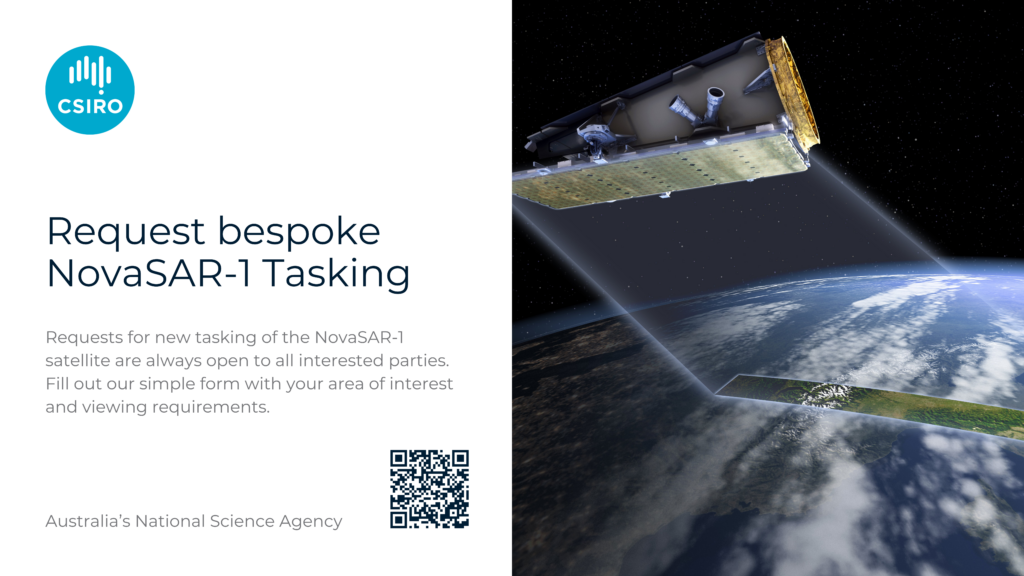
NovaSAR-1 Tasking
All NovaSAR-1 images are available for free download from the CSIRO NovaSAR-1 National Facility Datahub (following registration).
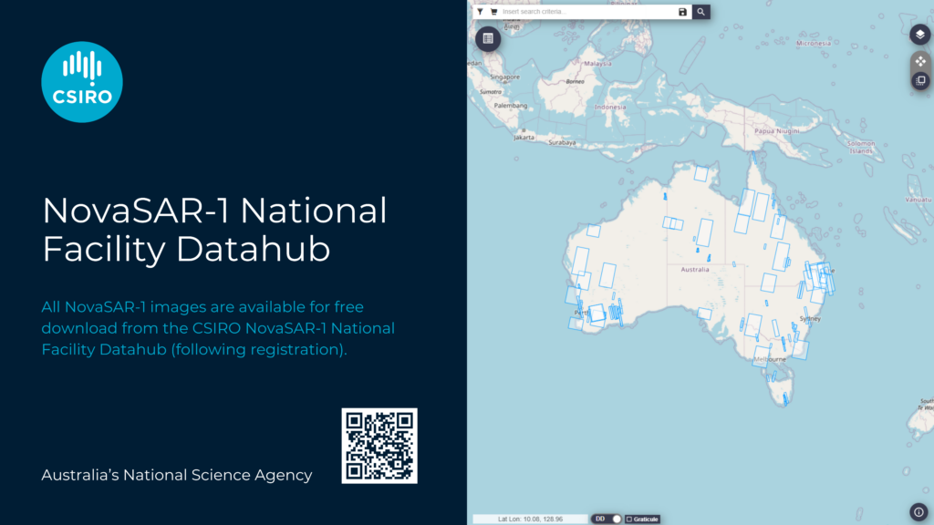
NovaSAR-1 Datahub