EDAP+ Quality Assessment of NovaSAR-1
The Earthnet Data Assessment Project (EDAP+) is responsible for assessing the quality and suitability of candidate missions being considered for ESA’s Earthnet Programme as Third Party Missions (TPM). CSIRO worked with teams from the EDAP+ consortium.
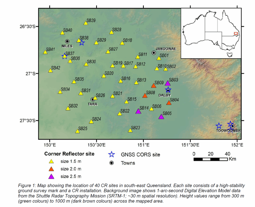
Images were (and continue to be) collected over Geoscience Australia’s Surat Basin corner reflector network in Queensland. The network incorporates 65 survey marks and 40 radar corner reflectors to enable the combination of Global Navigation Satellite System measurements with remotely sensed surface deformation maps derived using the Interferometric Synthetic Aperture Radar technique.
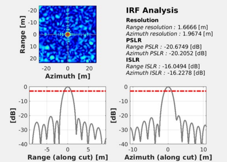
These images were used to assess the geolocation accuracy of NovaSAR-1 using both:
-
-
-
- single measurements (single product, single corner reflector)
- calculation of range and azimuth Absolute Location Error (ALE)
-
-
The full report can be viewed here.
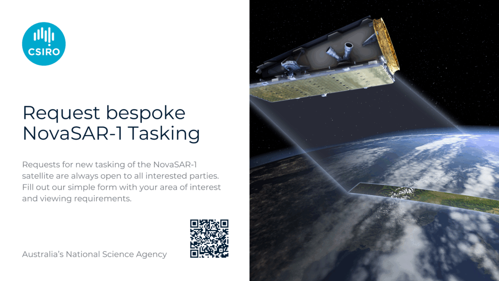
Anyone can request new tasking of the NovaSAR-1 satellite over a specific area of interest
Check out our Australia wide coverage in the NovaSAR-1 National Mosaic

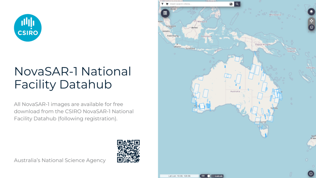
All NovaSAR-1 images are available for free download from the CSIRO NovaSAR-1 National Facility Datahub (following registration).