Earth Observation for Pacific: consultation workshop – October 2018
Earth Observation (EO), combined with modern data processing and big data analytics technologies such as cloud-computing, offers unprecedented opportunities to assist with rapid decision-making and inform policy. EO data is an important tool for Pacific countries in particular to decide how best to manage surveillance of maritime activities, food security and sustainability of land and water resources. EO data is also a good source of information for them to measure progress towards the United Nation’s Sustainable Development Goals (SDGs) and Climate Change programs.

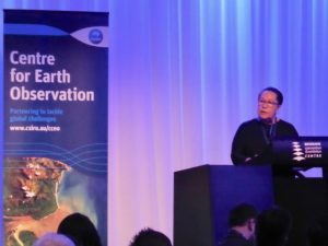
Dame Meg Taylor, Secretary General of the Pacific Islands Forum, giving the keynote address
Much EO data available is free, but developing economies still often struggle with capability to access the overseas data archives and to utilise EO in a meaningful way. In the Pacific region, the data may be difficult to access with existing communications infrastructure, or not be in a form that can be easily used by non-experts, or not be of a high enough resolution to be useful, and metadata and products derived from the data may also not be available in the local languages or presented in terms that match local descriptions of the landscape.

Indigenous dancers performing at the evening reception
In the Pacific region, customised products and services are required to address livelihood needs, and Australia can play a central coordination role in linking EO services with Pacific island nation end-users. CCEO, with several partners, hosted a workshop in Brisbane (attended by nearly 100 delegates) on 11 to 12 October 2018 which brought representatives from many of the Pacific island countries together with some of the world’s leading providers in satellite EO data and specialists in analysis of this data. This was a first conversation with Pacific islanders to consider their unique EO data needs and how impactful assistance including access, training and development of useful products could be cooperatively delivered.

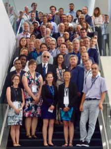
Attendees of the workshop
Attendees of the workshop
The outcomes of the workshop can be found in the Final report EO4Pacific.
