CSIRO.au
Centre for Earth Observation
Skip to content
Skip to search
About
News
EASI
Satellite Cal/Val
Pinnacles
AusCalVal
NovaSAR-1
About NovaSAR-1
NovaSAR-1 User Guide
Data access
Resources
Contact
SAR capability
Partnerships
Case Studies
CSIRO.au
Search
Search
NovaSAR-1
NovaSAR-1
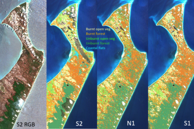
Application of S-band NovaSAR-1 to bushfires in Australia
New NovaSAR-1 National Facility Datahub launching later this year
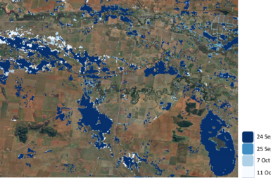
Smartsat CRC uses NovaSAR-1 and Sentinel-1 to revolutionise Australian flood management
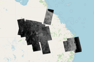
NovaSAR-1 images regions affected by Ex-Tropical Cyclone Alfred and flooding
Upcoming conference attendance
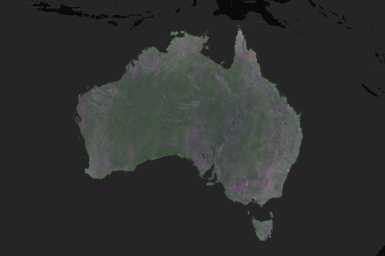
NovaSAR-1 National Mosaic available
Workshops at The 2024 Advancing Earth Observation Forum 9-13 September, Adelaide
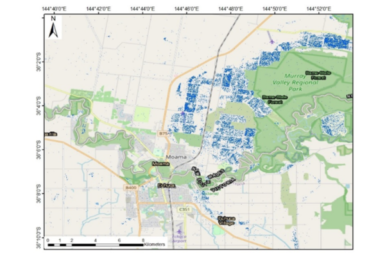
Mapping flood events across Australia using NovaSAR-1 and Sentinel-1
EDAP+ Quality Assessment of NovaSAR-1
1
2
3
4
>