AusCalVal
Australian consortium for Earth observation calibration and validation
Our Vision
“To facilitate and coordinate world leading Earth observation satellite data quality assurance from Australia, by creating a collaborative national network and centralised access to calibration and validation data, driving innovation, fostering domestic and international collaboration, and enabling the delivery of precise and reliable information from satellite data for diverse applications both nationally and internationally.”
AusCalVal aims to
- Unite Australian stakeholders in State and Federal Government, academia and industry to coordinate and collaborate on satellite calibration and validation (cal/val) activities, resources and practices.
- Provide a central access point to Australian Earth observation cal/val data that are well characterised, easily accessible, and sustained.
Uniquely Australian
Australia’s relatively arid climate and diverse range of environments make it ideal for the quality assurance of global satellite Earth observation products to ensure they are fit-for-purpose. The international community already relies on scientific infrastructure across Australia to calibrate and validate satellite Earth observation sensors, data, and products. The integrity of this data also influences the quality of weather forecasts, given the relative scarcity of land masses to collect ground observations in the southern hemisphere.
Australian capabilities in Earth observation calibration and validation are widely regarded as some of the best in the world. In a global evaluation in 2022, the Committee on Earth Observation Satellites (CEOS) found 7 of the TERN Ecosystems Processes sites to be amongst the best monitored and characterised land product validation supersites in the world.
Australia has a collection of existing cal/val data collection facilities based both on our technical heritage and a distributed and diverse range of government, industrial and academic efforts. These facilities:
- Aid the long-term accuracy and consistency of data from large, reference EO missions run by international space agencies, such as Landsat and Sentinel.
- Help secure Australia’s continued access to critical Earth observation data by providing a service necessary to the success of billion-dollar international space projects.
- Enable Australian scientists to contribute to international EO science teams at high levels, and secure early access to important satellite data streams.
- Provide Australian scientists the reference data they need to undertake important research and development for the benefit of Australia.
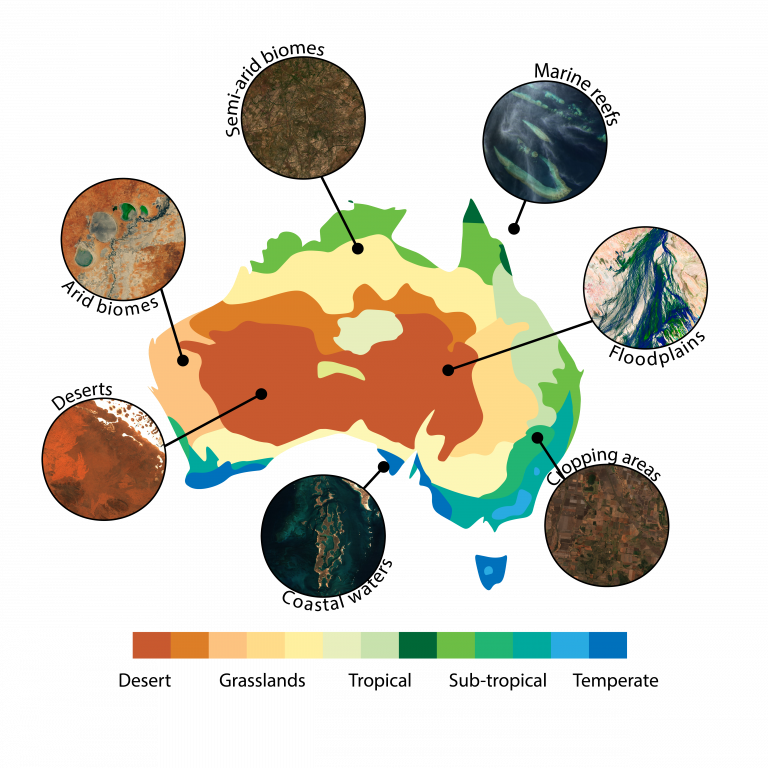
Australia has a diverse range of environments making it ideal for the quality assurance of global satellite Earth observation products. Map of landscape and biome types across Australia.
What will AusCalVal do?
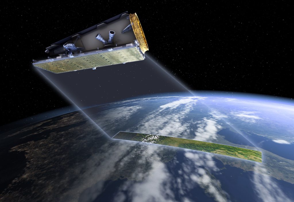
Computer generated image of NovaSAR-1 in orbit. Credit: SSTL
The goal of AusCalVal is to build a national cal/val capability. Potential activities include:
- Raising awareness with potential users on the breadth of Australia’s cal/val capabilities, data, and expertise;
- Improving user access to the cal/val data already being collected in Australia;
- Coordinating with stakeholders in State and Federal Government, academia and industry groups to improve efficiency and sustainability of Australia’s existing cal/val data collection activities;
- Representing Australia’s Earth observation cal/val community in domestic and international forums.
Through these mechanisms, AusCalVal will work to position Australia to respond to and leverage new opportunities arising from the increasing number of Earth observation small-sat and commercial missions, and will amplify Australia’s contributions to the international Earth observation community.