
Oceans & Atmosphere Information and Data Centre
December 15, 2016
A central assembly and management point for much of the Division’s vessel-collected data from over the past 25 years, plus related datasets such as those collected via moored instrument arrays in the Australasian region

Forest Hill Research Station
October 24, 2023
Forest Hill is a research station located near the town of Gatton in rural Queensland.
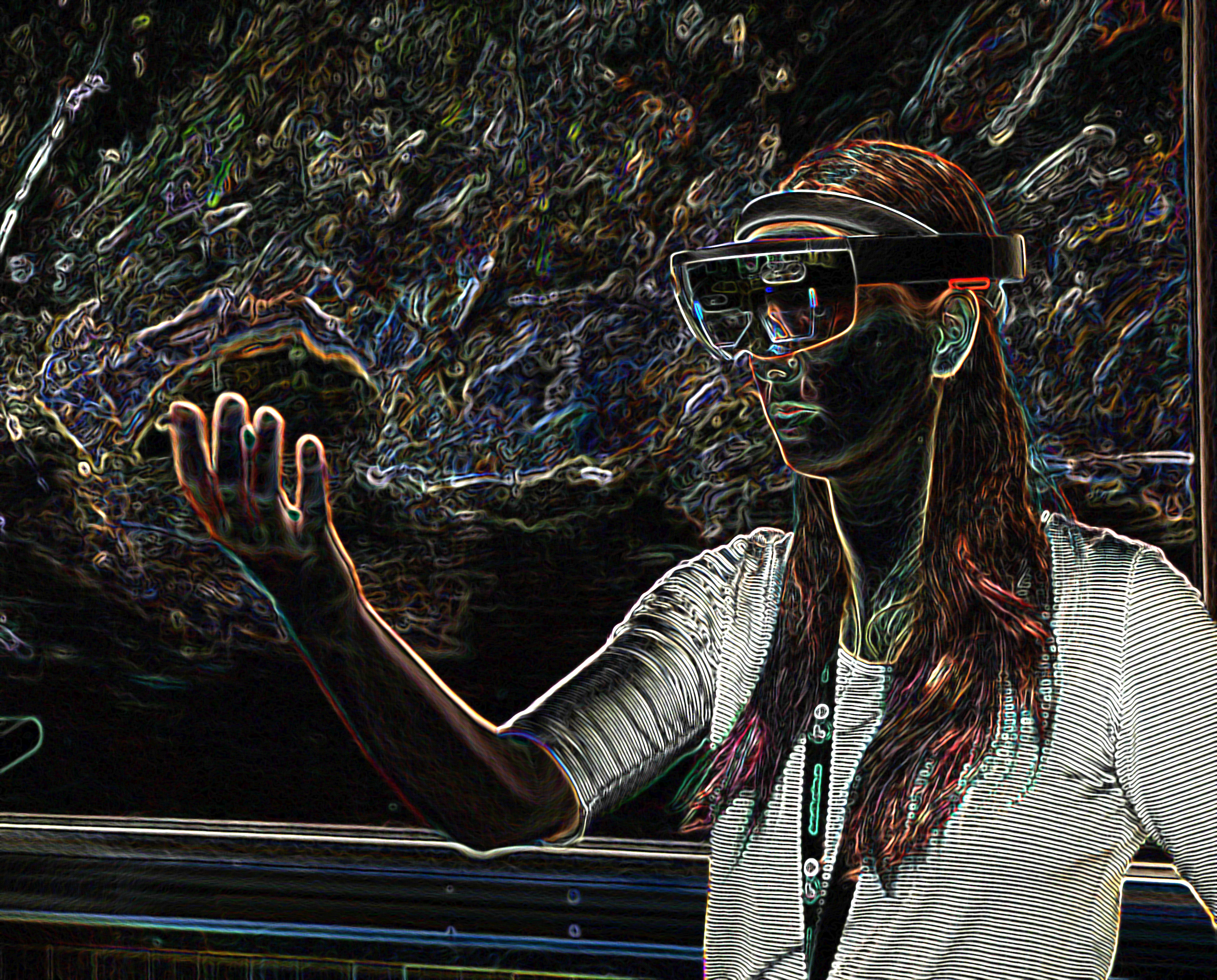
Immersive Analytics
March 27, 2018
We design and evaluate visual interfaces that facilitate a deep cognitive and affective involvement of humans when exploring and reasoning with data.

TEAM-Coast project
October 8, 2019
Coastal environments are of considerable socio-economic importance and provide multiple services to humankind, but are subject to numerous anthropogenic stressors. This project aims to develop a new generation of ecological assessment tools and models, based on environmental DNA, for the management of these ecosystems.

Coastal Informatics
August 4, 2023
We design, build and operate web applications that make the research data generated by our colleagues in other teams available via the internet, along with decision support and analysis software to help people work with that data.

Urban and Industrial Transformations
September 16, 2021
Discover how we are helping to build cities that are fit for the future.

Wireless Group
December 15, 2016
The Wireless Group focuses on wireless communications, localisation, imaging and sensing for applications from radio astronomy to telecommunications, and industrial safety to medicine.
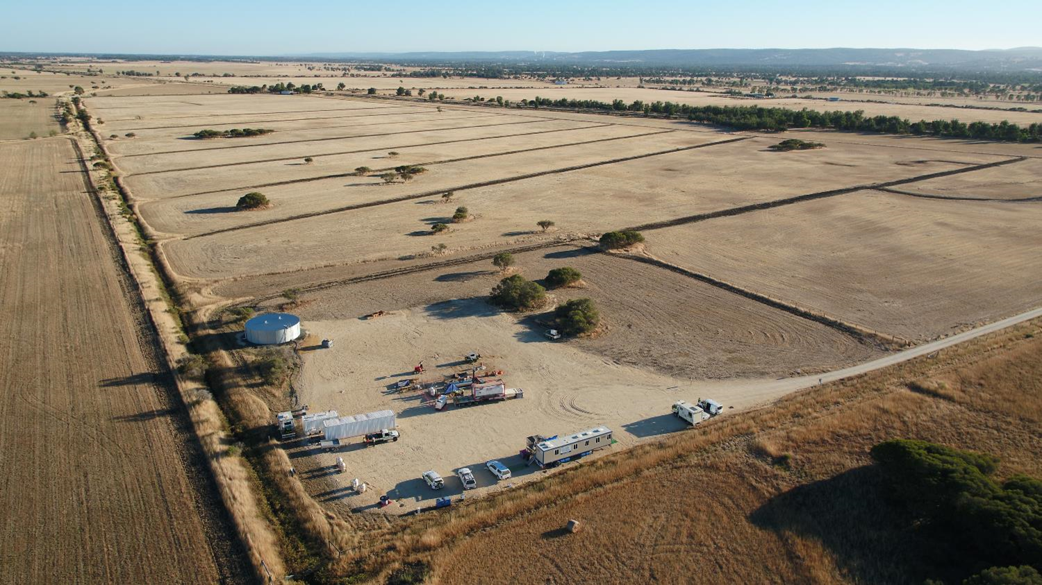
In-Situ Laboratory project
February 16, 2021
The In-Situ Laboratory is a research field site for conducting controlled release experiments of carbon dioxide and other gases, and for developing technologies for detecting and monitoring the migration of fluids in the shallow subsurface.
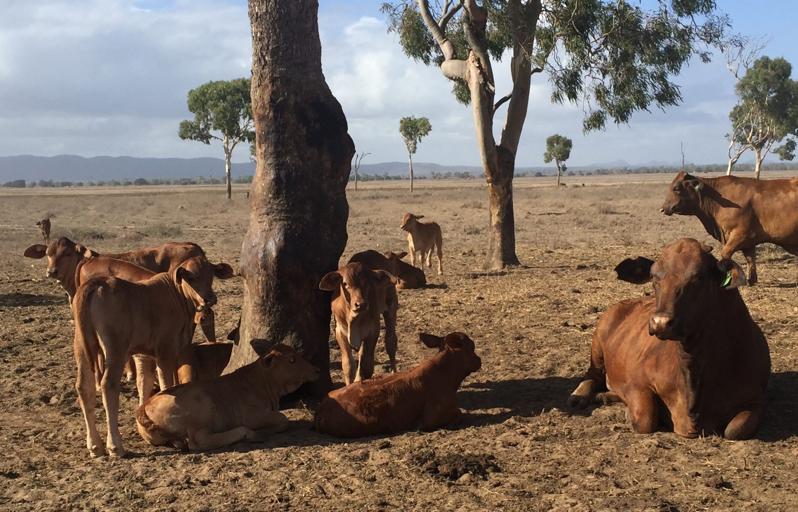
Livestock
July 10, 2020
We work with livestock farmers and allied industries to improve their productivity, profitability and sustainability through better livestock breeds and management practices.