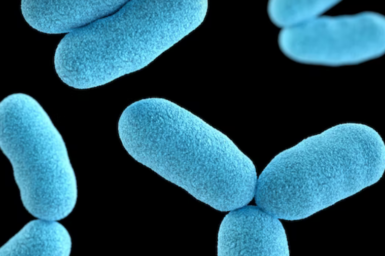
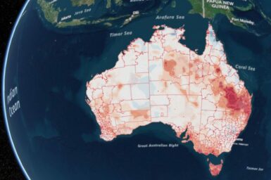
HOTspots surveillance and response
March 21, 2023
Mapping and responding to antibiotic resistance patterns across Australia.
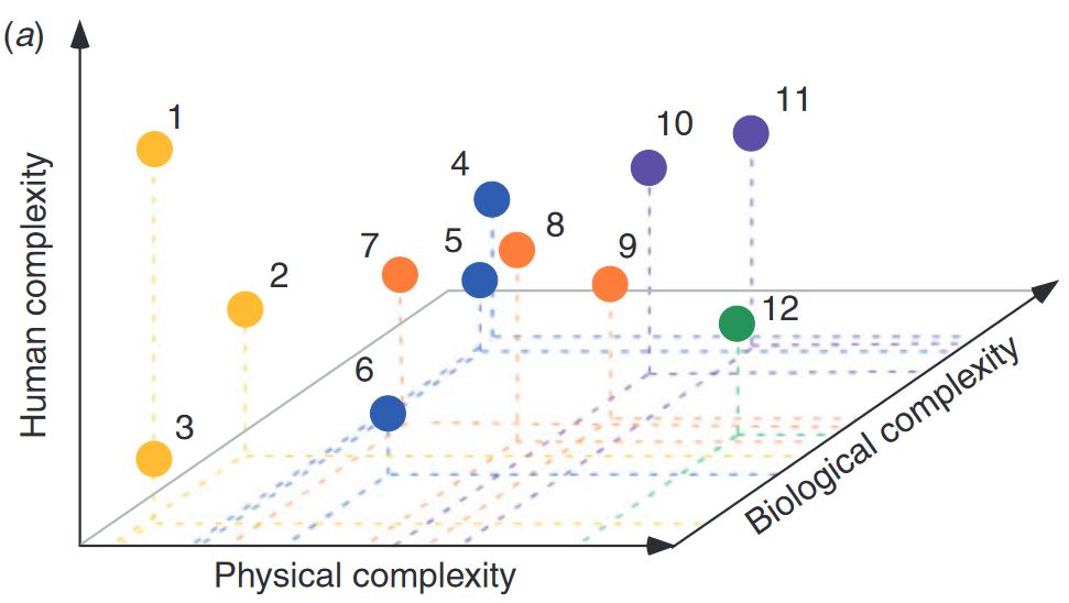
Models of Intermediate Complexity for Ecosystem Assessment (MICE)
June 26, 2018
CSIRO O&A funded the development of MICE – “Models of Intermediate Complexity for Ecosystem assessments” to complement the ecosystem modelling toolbox needed to support tactical management decisions in fisheries and conservation.
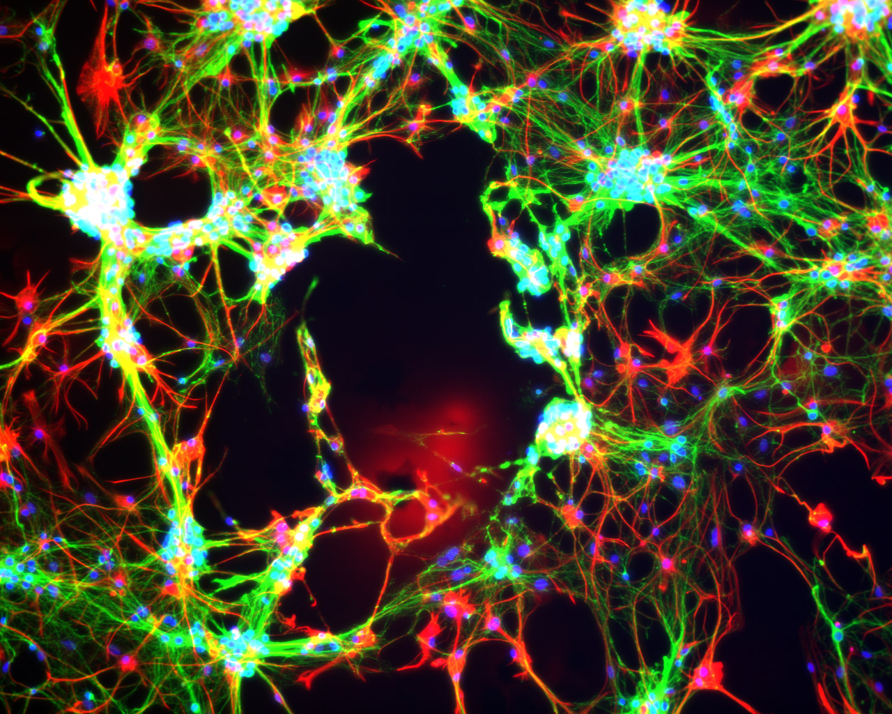
Quantitative Imaging
February 15, 2016
We invent, apply and deliver new technologies to automate the extraction of useful information from 2D, 3D and 4D images for industrial and scientific applications.
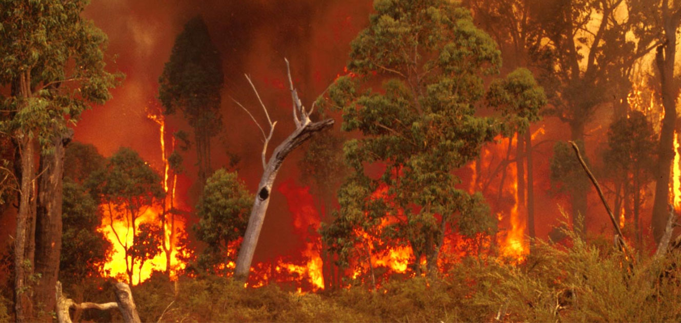
Vesta Mk 2 fire spread model
December 13, 2021
The Vesta Mk 2 fire spread model is intended for the operational prediction of wildfire propagation in eucalypt forests over a broad range of fireline intensities.

Integration research to address complex problems
July 9, 2021
Information and examples regarding CSIRO’s capabilities in integration research

Immersive Environments Lab
February 22, 2018
The Data61 Immersive Environments Lab (IE Lab) is purpose built for applied research into the convergence of our digital and physical worlds.
Voluntary Data Classification Framework Project
November 20, 2024
The Voluntary Data Classification Framework will assist Australian industry organisations to classify and define the value of their data in a consistent and unified way.
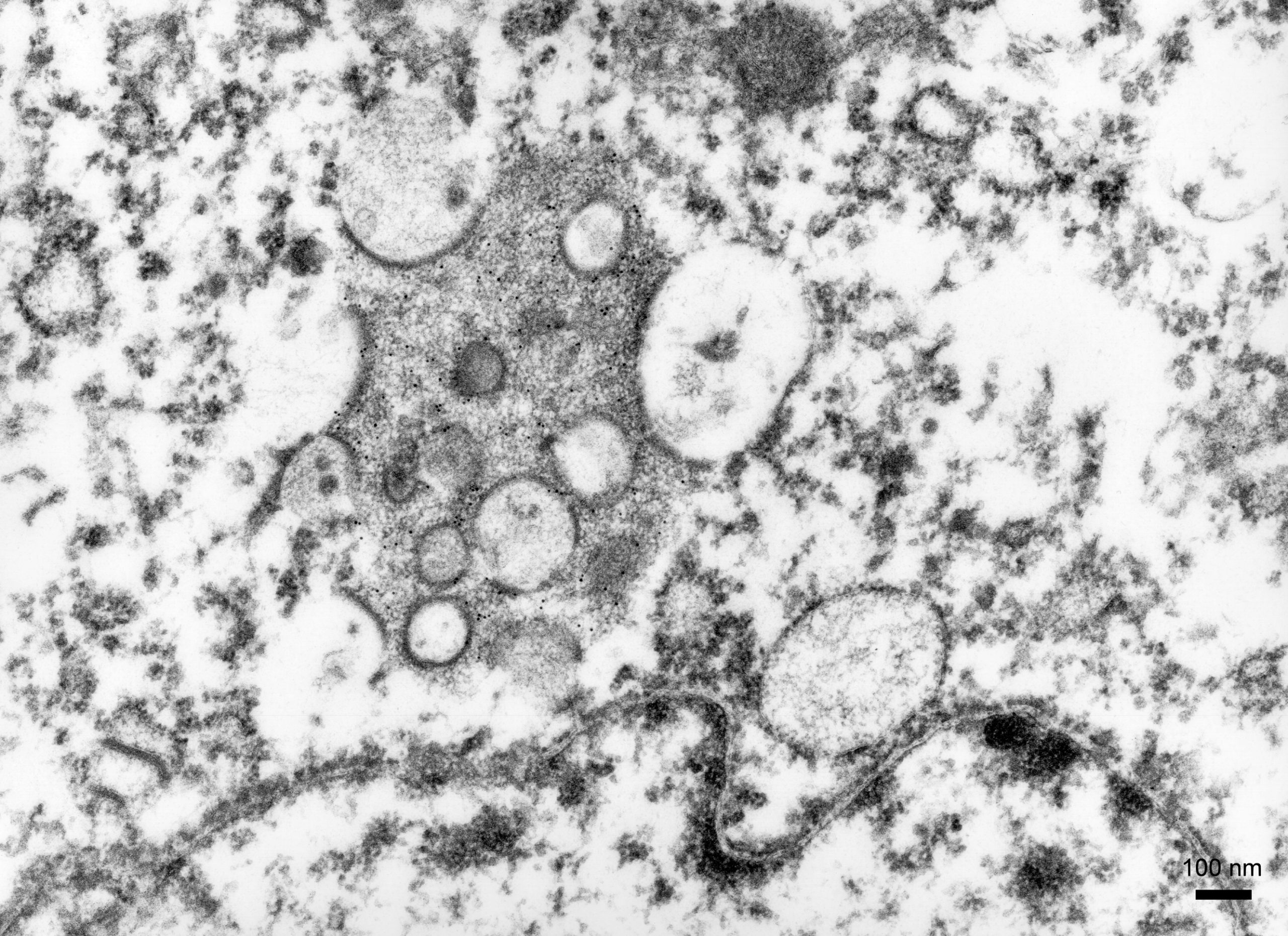
Resilience to Emerging Infectious Diseases
May 11, 2021
We are working towards resilience to emerging infectious diseases, in Australia and our region.
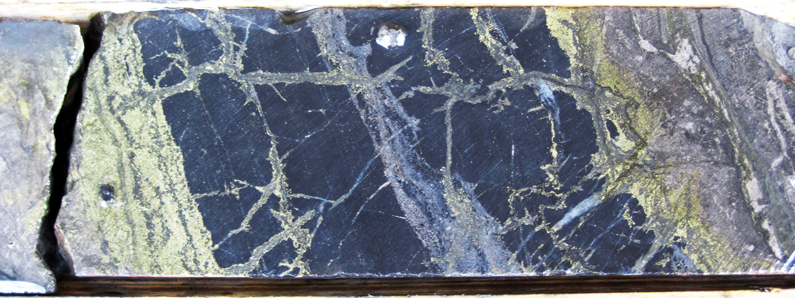
Mobile Petrophysical Laboratory
March 21, 2022
A containerised mobile petrophysical logging system for use across Australia.