Koshi Basin
Supporting integrated water resources management in the Koshi Basin
Integrated water resources management requires agreement and understanding of the amount of water available, the demands that are made on this water, and how water resources can be best shared to ensure that the livelihoods of people and functioning of ecosystems are sustained.
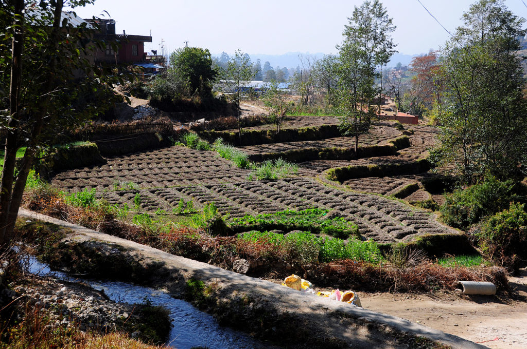
Agriculture land use in Nepal. Source: Tanya Doody, CSIRO
Agriculture land use in Nepal. Source: Tanya Doody, CSIRO
Taking a partnership approach, CSIRO worked in the Koshi Basin with Nepali organisations through the Sustainable Development Investment Portfolion (SDIP). The aim was to build the knowledge, data and understanding for sustainable management of water resources.
Measuring the water resource
CSIRO improved understanding of the water balance of the Koshi Basin catchments [click to view a map of estimated water balance].
CSIRO supported revisions to rainfall station locations, development of new gridded rainfall products and refinement of hydrological models, all of which led to better understanding of the timing and availability of water in major streams, including projected climate change scenarios. In one catchment, the better spatial representation of rainfall led to the elimination of a false streamflow bias in the corresponding catchment runoff model and ultimately better water management.
The report From the Mountains to the Plains: Impact of Climate Change on Water Resources in the Koshi River Basin, published by International Water Management Institute staff and their collaborators, quantifies and assesses the past and projected future spatial and temporal water balances in the Koshi Basin (fact sheet). Results show that precipitation and net water yield are lowest in the transmountain region and the Tibetan plateau.
Modelling hydrological processes
Working with local modelling experts, we improved models of the Koshi basin hydrology. The preliminary analysis of hydroclimate and streamflow modelling can be used as a tool to explore how different climate change and development scenarios impact streamflow.
Improving rainfall and temperature data
Daily precipitation, minimum and maximum temperatures gridded datasets were generated for the Koshi Basin. These are more accurate than existing products due to the improvements in locations of rainfall stations (providing better validation against observed data) and the use of sophisticated statistical methods.
Describing river flow characteristics
Expert ecologists identified a lack of knowledge about current flow regimes, and how ecologically significant aspects may change under altered flow regimes. Using a suite of hydrological metrics (e.g. mean daily flow) to classify and cluster flow regimes, we mapped these to look at their spatial distribution.
Connecting flow and ecology
Nepali scientists have a deep understanding of how water moving through rivers and wetlands supports ecological species (e.g. birds, fish, macro-invertebrates), that is the river flow-ecology relationship. We worked with them to document this knowledge. The key benefit of understanding river flow-ecology relationships is that, when river flow changes occur, evidence is available to understand the likely impact on the ecosystems and livelihoods that it supports.
CSIRO and partners produced a report to document this important relationship between river flow and ecology. A fact sheet is also available.
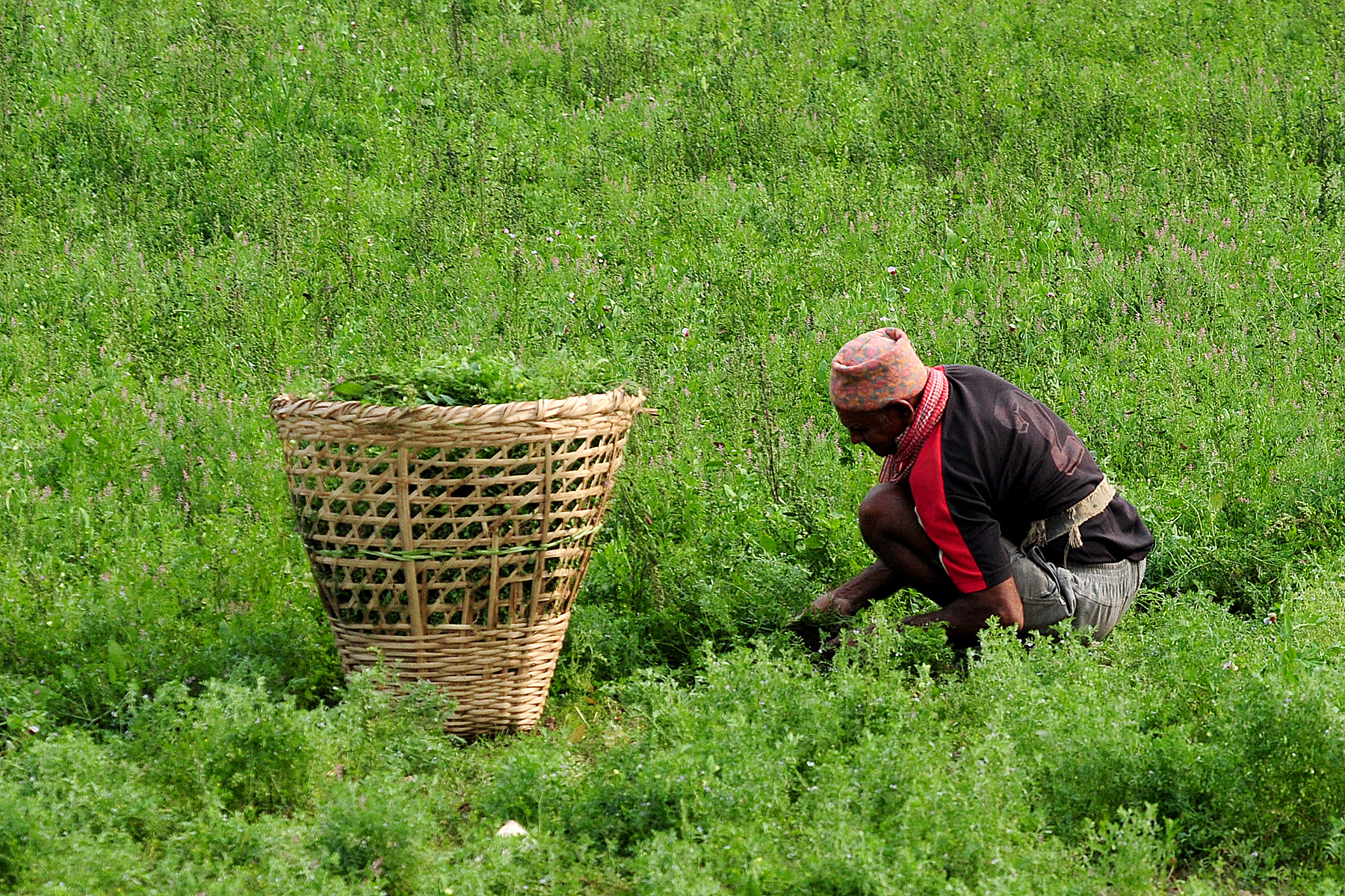
Livelihoods rely on water availability, Nepal. Source: Tanya Doody, CSIRO
Livelihoods rely on water availability, Nepal. Source: Tanya Doody, CSIRO
Livelihoods
We worked with local researchers to value-add on existing analyses of household livelihood strategies in the Koshi Basin and in Nepal, using data from the Poverty and Vulnerability Assessment Tool (PVAT), a household survey dataset undertaken by the International Centre for Mountain Development (ICIMOD). This work was presented to the 24-25 March 2016 workshop ‘Water-livelihoods-gender nexus to advance Koshi Basin management’ jointly organised by the Department of Irrigation and Department of Agriculture, Government of Nepal, hosted by ICIMOD and CSIRO.
Partners
Key collaborators for this work include the Government of Nepal through the Nepal-Australia Joint Advisory Committee on Water Resource Management, and SDIP partners, especially International Centre of Excellence in Water Resources Management (ICE-WaRM), International Centre for Integrated Mountain Development (ICIMOD), and International Finance Corporation (IFC).
Project leader Dr Auro Almeida
About SDIP
This SDIP work is part of a portfolio of investments supported by the Australian Government addressing the regional challenges of water, food and energy security in South Asia.
The SDIP2 aims to improve the integrated management of water, energy and food in the Himalayan river basins, addressing climate risk and the interests of women and girls. It seeks to:
- strengthen practices for regional cooperation
- generate and use critical new knowledge to enhance regional cooperation

- improve regional enabling environment for private sector engagement.
Find out more about SDIP work in Nepal
Find more information about international water research at CSIRO